Back From The Grand Canyon

I am home from my rim to rim and back journey with Scott Turner through the Grand Canyon. The fact that I took over a thousand photos is a good indicator of how awe inspiring I found my experience. So, it will take me a few more days to go through those photos and share more comprehensive impressions.

For now, I just want to share my observation that vastness in the Grand Canyon is tempered by countless spots that would be cherished end destinations on hikes most other places. Ribbon Falls is an excellent example.

Scott and I initially saw Ribbon Falls off in the distance from the North Kaibab Trail on our way to Cottonwood Campground. We decided to set up camp at Cottonwood first and return to the falls on a 3.2 mile late afternoon hike. This turned out to be a great decision as the potable water at Cottonwood was murky containing a fair amount of red silt. Unpacking our packs allowed us to filter the clear water of Ribbon Falls with enough water for the night and the following day’s trip to the North Rim and back.

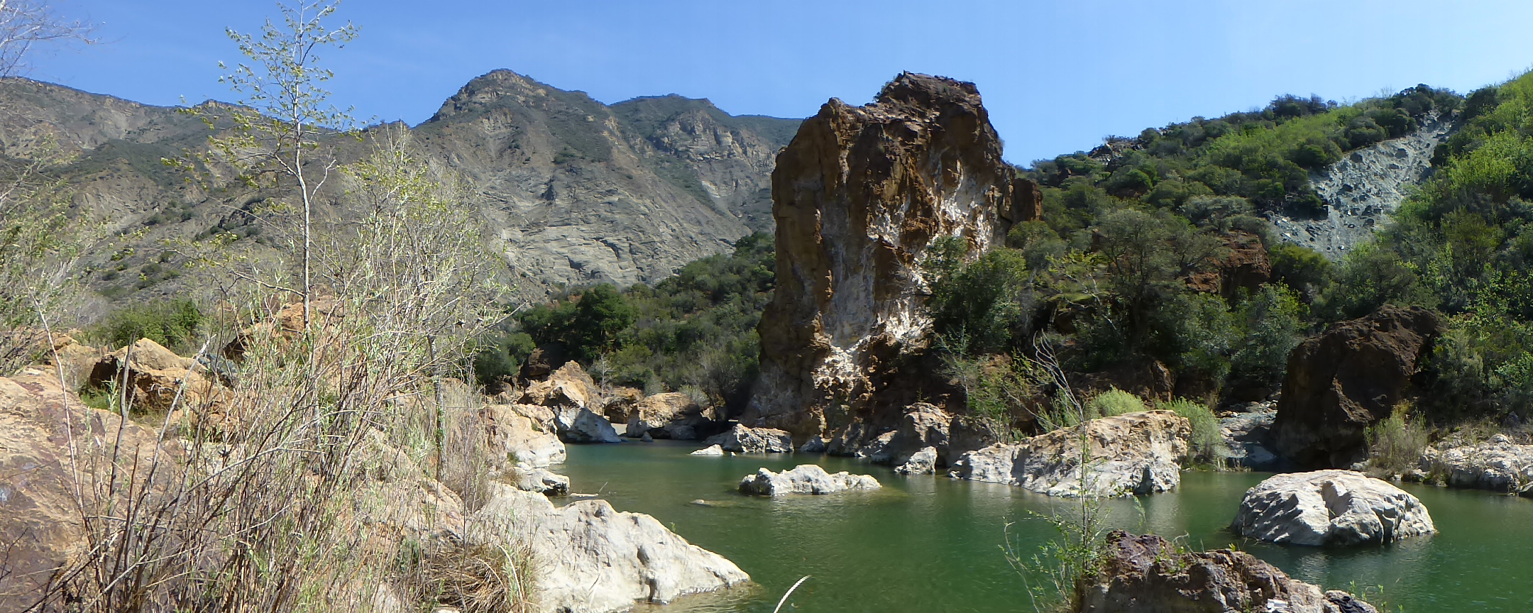
For many people, just being a waterfall would be enough to make Ribbon Falls a great spot. However, its multifaceted characteristics are what makes it stand out for me and are what makes it a good example of the kinds of spots I mentioned above. As shown in the gallery of photos below (click to enlarge), it is a complex area with many elements to the waterfall and many different places within it to view both the waterfall and its surroundings. Each place within yields an interestingly different perspective of the elements of the waterfall and there is a great view out to the larger canyon. Spending time at the pool at the bottom, or behind the falls under the rock overhang looking through the falling water toward the canyon, or off to one of the sides watching the wind change where the water lands and trickles down on the moss covered rock leading down to the pool could all be wonderful destinations on their own. This large space in terms our human scale is intimate by Grand Canyon standards. While this was my favorite spot in the Canyon (possibly due to my desire to drink clear water—which was fantastic by the way), there were just so many others!

Some Colorful Lizards

Wednesday I hiked to Mt. Wilson as my last training hike from my Grand Canyon Trip (I’m leaving within the hour). I enjoyed watching some colorful lizards going at it for a good ten minutes. Here’s some photos (click to enlarge). If you know what kind of lizards these are, please comment. I should have Grand Canyon photos and stories posted in around a week.

Last Week’s Visits To Other Forests

I was out of town most of last week and had a great time hiking in both Cleveland National Forest and Los Padres National Forest. While I was here, I was able to attend a volunteer meeting to learn more about trail building/maintenance opportunities in Angeles National Forest. Spending several nights away from home got me thinking about the old story about determining which of two frogs knows more about a well. The first frog lived in one well his entire life physically crawling over every portion of it numerous times. The second frog had never seen that particular well before but spent his entire life visiting ponds, lakes, streams, forests, cities, and other wells before arriving at the well where the first frog lives. I’ve had several people tell me that story and I always respond that the second frog knows more about the first frog’s well.

With that in mind, I believe I will know this forest better if I make numerous visits to other places. Most of the time I will not post stories about those experiences, but I’ve decided I will usually post photos in the other places section of this blog and at least add one photo to my journal of hikes section with stats etc.

Monument Peak

View From Monument Peak (click to enlarge)

Last Tuesday I was treated to an introductory hike of the Laguna Mountains guided by my friend Scott (who I met on Mt. Baldy last year). Scott wrote about our hike on his blog.

Red Rock to Gibralter Dam

Red Rock to Gibralter Dam (click to enlarge)

Last Friday through Sunday I went camping with family and friends. All of us went on a short hike to Red Rock on Saturday. On that hike I talked to someone who told me about a good extension to continue hiking from Red Rock along the Santa Ynez River Valley to Gibralter Dam—which most of us did on Sunday.

Upper Oso Canyon to Nineteen Oaks Campground.

Upper Oso Canyon to Nineteen Oaks Campground

After the first hike to Red Rock on Saturday, some of us also hiked Upper Oso Canyon to Nineteen Oaks Campground.

Snow Hiking In Los Angeles: Mt. Islip

Two weeks ago it snowed as low as 3,000 feet in Los Angeles. Last week temperatures got into the 90’s for a couple days (what happened to spring?). I hiked up to Mt. Lowe with Scott last Tuesday and saw no remains of snow on the north slopes. I realized that without another storm, I might only have one more chance to hike in snow this year. So, I drove up to Islip Saddle and hiked the Pacific Crest Trail to Mt. Islip on Sunday. There was no snow at the trailhead and at first I thought I was too late.

Pacific Crest Trail near Islip Saddle. (click to enlarge).

Pacific Crest Trail near Islip Saddle Trailhead. (click to enlarge).

By a quarter mile into the hike snow appeared as I traveled on the north slopes. It was of the icy variety so I put on my microspikes.

Icy snow on the Pacific Crest Trail between Islip Saddle and Little Jimmy Campground.

Icy snow on the Pacific Crest Trail between Islip Saddle and Little Jimmy Campground.

Throughout the day the presence of snow was uneven. At times almost completely melted away.

Pacific Crest Trail between Islip Saddle and Little Jimmy.

Pacific Crest Trail between Islip Saddle and Little Jimmy.

At other times snow was abundant. However, it almost always had an icy feel to it. When I reached Little Jimmy Campground, I enjoyed seeing that a Boy Scout Troop had camped overnight. I’m really looking forward to backpacking this year starting with my upcoming Grand Canyon trip the first week in April.

Pacific Crest Trail between Islip Saddle and Little Jimmy. (click to enlarge).

Pacific Crest Trail between Islip Saddle and Little Jimmy. (click to enlarge).

By the time I made it around the north face of Mt. Islip the snow was essentially gone with only small patches remaining. So, I took off my microspikes until my return.

Pacific Crest Trail at Windy Gap.

Pacific Crest Trail at Windy Gap.

The presence of at least some snow along parts of the trail without a north facing orientation enhanced the view as I made my way to Mt. Islip.

View from the Islip Ridge Trail.

View from the Islip Ridge Trail. (click to enlarge).

While there wasn’t snow on the trail for the entire hike, there was enough to enjoy and feel like it was more of a snow hike than not. I took my time on this one and savored what could be the last remnants of this unusually dry winter. If we do get another storm soon, at over 6,600 feet in elevation at the trailhead, this trail is bound to get more snow.


Gallery Update #11: Snags

My Gallery Updates are about sharing photos I’ve added to the gallery section of this site. The galleries are my way of creating a visual approach to searching for hikes by having collections of photos that link to information about hiking to where each photo was taken.

This week I added a new Snags Gallery. One of my favorite blogs (Backyard Biology) recently posted a piece (Dead tree wildlife condo) describing the role that snags (dead or dying trees that are still standing) play in nature. Previously I didn’t know there was an ecological term for the many standing dead trees I photograph. Here’s a few in different contexts.

September 2011

September 2011

Above photo taken from the Devil’s Backbone Trail.

May 2012

May 2012

Above photo taken from the Islip Ridge Trail.

December 2012

December 2012

Above photo taken from the Mt. Hillyer Trail.

February 2012

February 2012

Above photo taken from the Silver Moccasin Trail near Little Pines Loop.

May 2012

May 2012

Above photo taken from the Pacific Crest Trail between Islip Saddle and Little Jimmy Campground.