
A.K.A. Silver Moccasin Trail. Back to Silver Moccasin Trail Segments
Back to Pacific Crest Trail Segments
Segment: Pacific Crest Trail: Angeles Crest HWY (southwest of Islip Saddle on the other side of the tunnel) to JCT Pleasant View Ridge.
Stats: Angeles Crest Hwy to JCT Pleasant View Ridge: 1.5 miles, 1200′ gain, 0′ loss. Mt. JCT Pleasant View Ridge to Angeles Crest HWY: 1.5 miles,0′ gain, 1200′ loss. Round Trip: 3.0 miles 1230′ gain and loss.
Last Hiked: 7-26-2015
Hikes: Under Construction.
The trailhead is located at the north east corner of a parking area along Angeles Crest Hwy on the other side of the tunnel from Islip Saddle.

PCT Trailhead at Angeles Crest HWY leading to Pleasant View Ridge.
The Pacific Crest Trail will ascend roughly 1200 feet until it reaches the junction with the Pleasant View Ridge Trail.
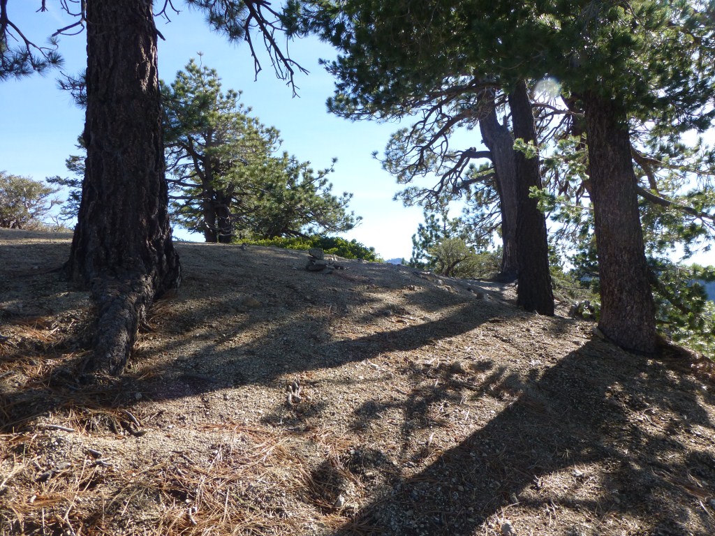
View toward JCT of Pleasant View Ridge Trail from the PCT starting from Angeles Crest HWY.
The Pleasant View Ridge Trail begins at a T-intersection forming a junction with the Pacific Crest Trail and heads north up the ridge [note: regardless of direction of travel, the PCT continues downward at this intersection–west to Angeles Crest Highway, east to Islip Saddle (also along Angeles Crest Highway).

T-intersection of Pacific Crest Trail and Pleasant View Ridge Trail.
More photos here.
