A.K.A. Silver Moccasin Trail. Back to Silver Moccasin Trail Segments
Back to Pacific Crest Trail Segments
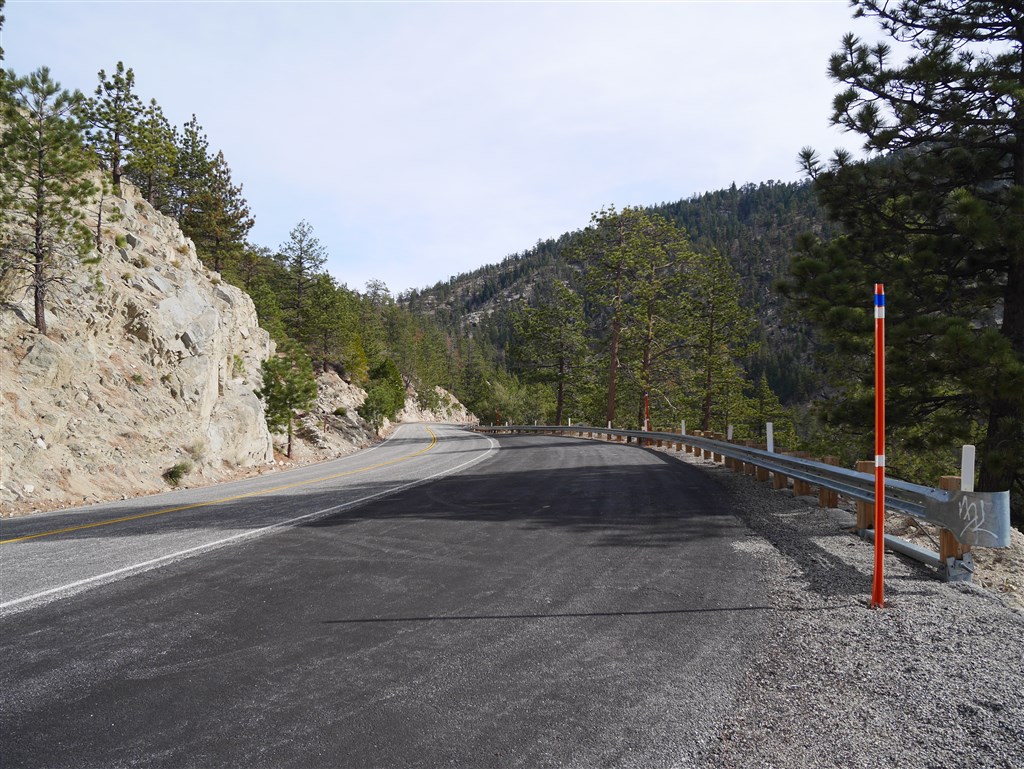
Segment: Pacific Crest Trail: Gate on Angeles Crest Highway to crossing at Mile Marker 54.10. Note: there is a parking area close to the mile marker in the direction heading toward Cloudburst Summit.
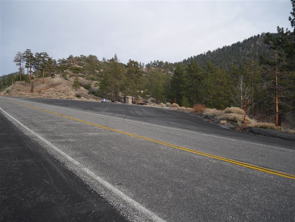
View toward parking area at Pacific Crest Trail crossing of Angeles Crest Highway from Mile Marker 54.10
Stats: From Gate to Mile Marker: 2.4 miles, 120′ gain, 575′ loss. From Mile Marker to Gate: 2.4 miles, 575′ gain, 120′ loss. Round Trip: 4.8 miles, 695′ gain and loss.
Last Hiked: 7-21-2016
Hikes:
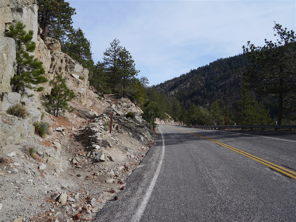
View across Angeles Crest Highway toward gate trailhead leading to Mile Marker 54.10
Pacific Crest Trail: view across Angeles Crest Highway toward gate leading down to the next crossing of the highway at mile marker 54.10
View at Gate
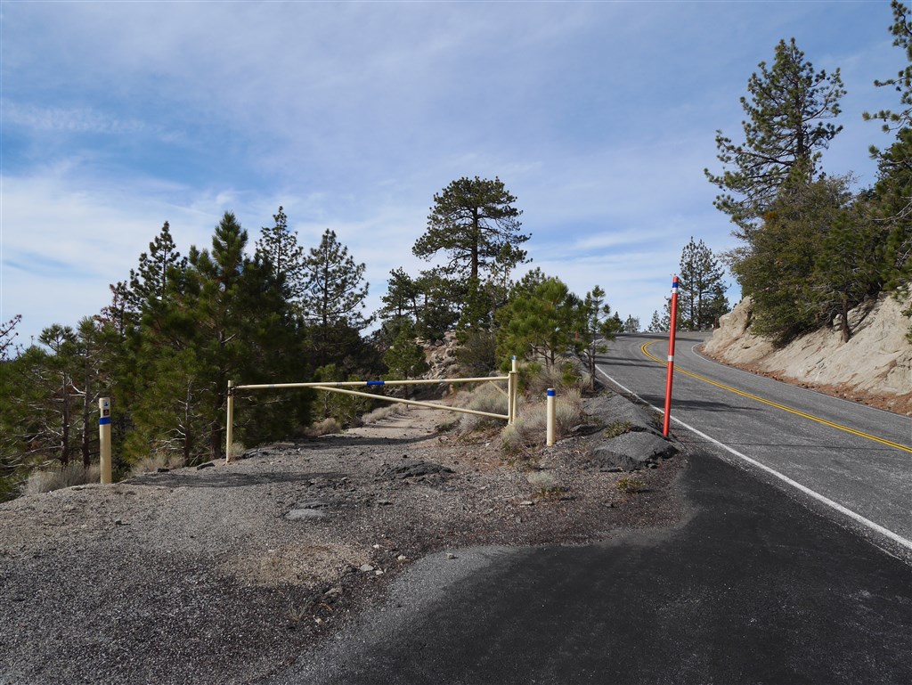
Pacific Crest Trail: view of trailhead at gate off Angeles Crest Highway
View from gate toward trailhead across Angeles Crest Highway
Pacific Crest Trail: view across Angeles Crest Highway from gate toward continuing on to Cloudburst Summit.
View of trailhead leading toward Cloudburst Summit
Pacific Crest Trail: view of trailhead across Angeles Crest Highway from the gate in the direction leading to Cloudburst Summit
The trail is obvious to follow down to Mile Marker 54.10. Camp Glenwood (Glenwood Dad’s Club Organization Camp) is on the trail.

Head right (if coming up from mile marker 54.10) at Camp Glenwood. Coming down from the gate obviously requires a left turn at the camp.
The wider road will continue for a while past the camp. Go right when a smaller trail appears.
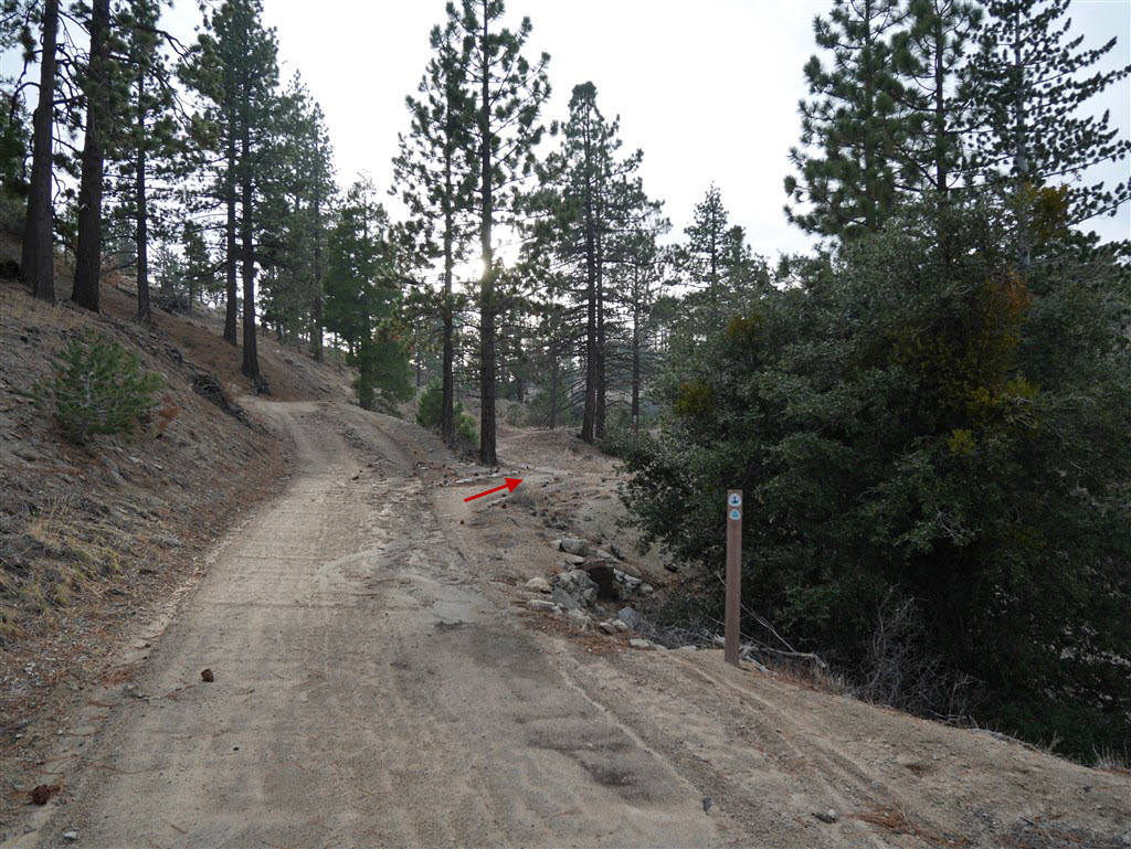
View of junction of road and smaller trail as seen coming down from the gate. No choice of what to do if coming from the other direction.
There is one crossing of a use trail between the above junction and mile marker 54.10. Signs are posted to make it clear which way to go.

Use trail crossing as seen coming down from the gate.
Be sure to go through the crossing.

Use Trail crossing as seen coming up from mile marker 54.10
Trailhead at the crossing of Angeles Crest Highway at mile marker 54.10.

PCT Trailhead at Angeles Crest Highway Crossing at mile marker 54.10 heading up toward Cloudburst Summit.
More photos here.
