
Trailhead: Red Box
The trailhead is accessed by crossing Angeles Crest Highway from the parking lot at Red Box.

View of trailhead from Red Box Parking area.
Trail: Unnamed trails from Red Box to Strawberry Peak

Red Box to Strawberry Peak track map from December 2016 using Backcountry Navigator (US Forest Service-2013 map) from my phone.
Stats: 7 miles, 1845′ gain and loss.
Last Hiked: 11-16-2014
Trail Segments: From the parking lot at Red Box, cross Angeles Crest Highway and follow the dirt trail (known as Barley Road) to a junction with a trail (referred to here as South Strawberry Saddle Trail) and follow that which begins by way of a switchback heading in the opposite direction. At Strawberry Saddle take the trail (referred to here as the Strawberry Peak Trail) to Strawberry Peak.
Peaks: Strawberry Peak
Photos:
- Barley Road,
- unnamed trail (referred here as South Strawberry Saddle Trail),
- unnamed trail (referred to here as Strawberry Peak Trail).
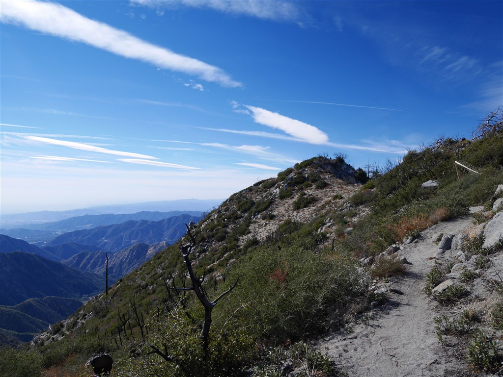
View toward Strawberry Peak just below the summit.
