
Trailhead: Colby Canyon
The trailhead is accessed from the parking along Angeles Crest Highway east of Switzer Picnic Area.

Colby Canyon Trailhead is located at the north-west corner of the parking area
Trail: Colby Canyon Trail, Josephine Saddle Trail and Upper Josephine Peak Road to Josephine Peak

Track map for Colby Canyon to Josephine Peak from April 2016 using Backcountry Navigator (US Forest Service-2013 map) from my phone.
Stats: 8.4 miles, 2150′ of gain and loss.
Last Hiked: 3-26-2017
Trail Segments: From the parking area at Angeles Crest Highway follow the South Colby Canyon Trail up to Josephine Saddle. From the saddle, follow the Josephine Saddle Trail east to where it meets with Upper Josephine Peak Road and take that up to the peak.
Peaks:
Points of Interest:
Photos:
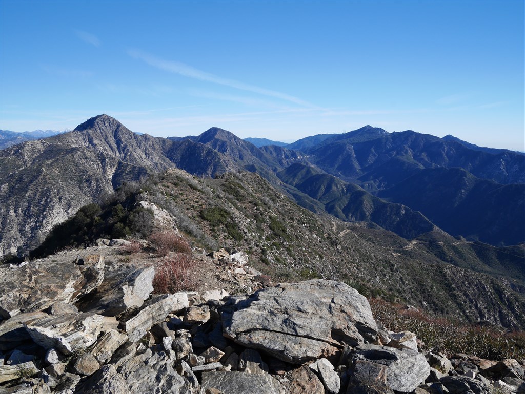
View from Josephine Peak with Strawberry Peak and Mt. Lawlor in the foreground.
