A.K.A. Silver Moccasin Trail. Back to Silver Moccasin Trail Segments
Back to Pacific Crest Trail Segments
Segment: Pacific Crest Trail: Angeles Crest Highway crossing at Mile Marker 54.10 to Three Points
Stats: From Three Points to Marker: 1.9 miles, 455′ gain, 60′ loss. From marker to Three Points: 1.9 miles, 60′ gain, 455′ loss. Round Trip: 3.8 miles, 515′ gain and loss.
Last Hiked: 5-14-2017
Hikes:
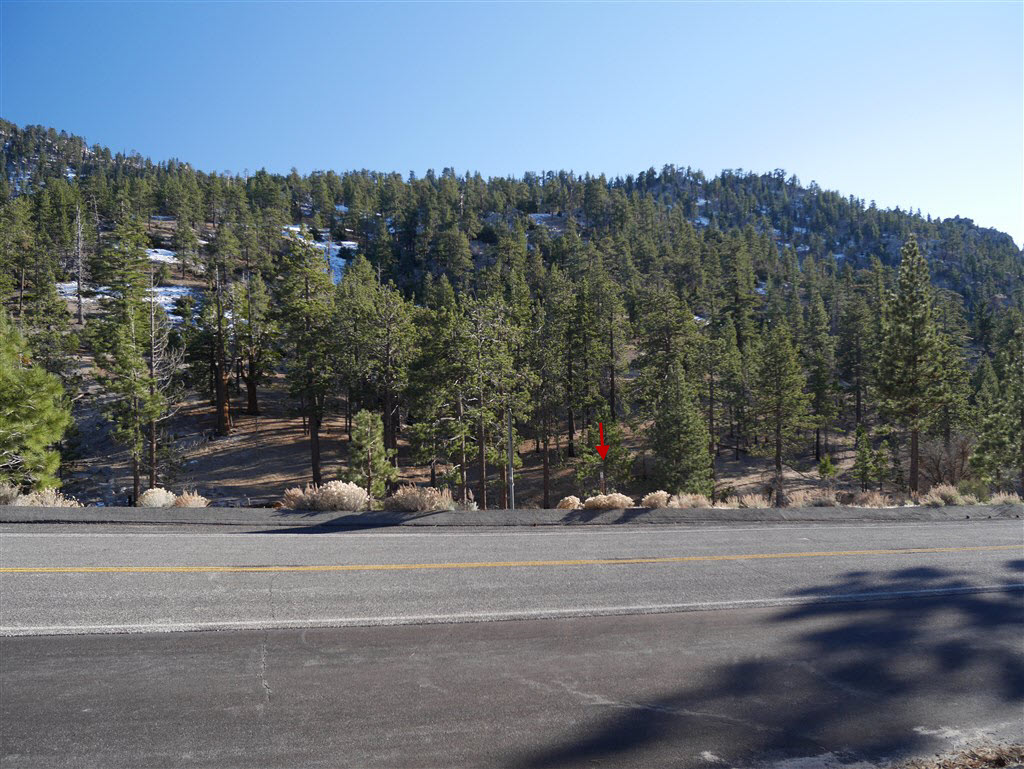
Trailhead at the crossing of Angeles Crest Highway near mile marker 54.10.
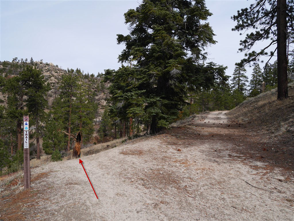
View of Trailhead leading down to Three Points from across Angeles Crest Highway at continuation of PCT.
In the direction following the PCT coming down from Cloudburst Summit, the forks in the trail are obvious which way to go. Coming up from Three Points there are a couple that are clearly marked but if the sign fell down the way forward wouldn’t be obvious.
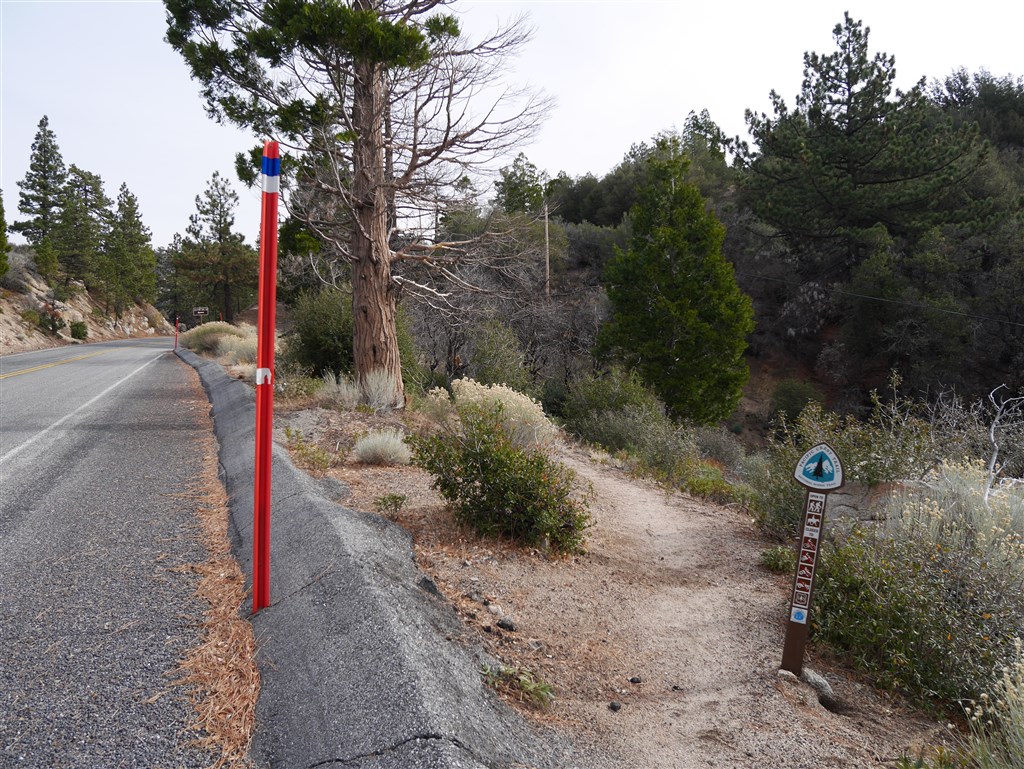
Nearing the crossing with Angeles Crest Highway, veer to the left and follow the thinner trail.
After crossing Angeles Crest Highway from Three Points, the trail reaches a junction where left continues the PCT and right follows the Mt. Waterman Trail.

Go left at the junction with the Mt. Waterman Trail
The trail continues across Angeles Crest Highway.
View of the trailhead coming up from Three Points making the first crossing of Angeles Crest Highway.
The trail leads down from the parking area at Three Points to Angeles Crest Highway where the trail continues across the road.
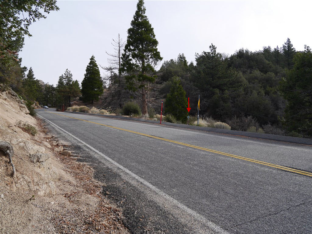
View of the trail crossing of Angeles Crest Highway at Three Points
If coming down the PCT from mile marker 54.10, cross the road and head up the trail. After a short distance the trail will reach a fork. Go right to reach the Three Points parking area.

View of junction leading to Three Points parking area.
View of Trailhead at Three Points
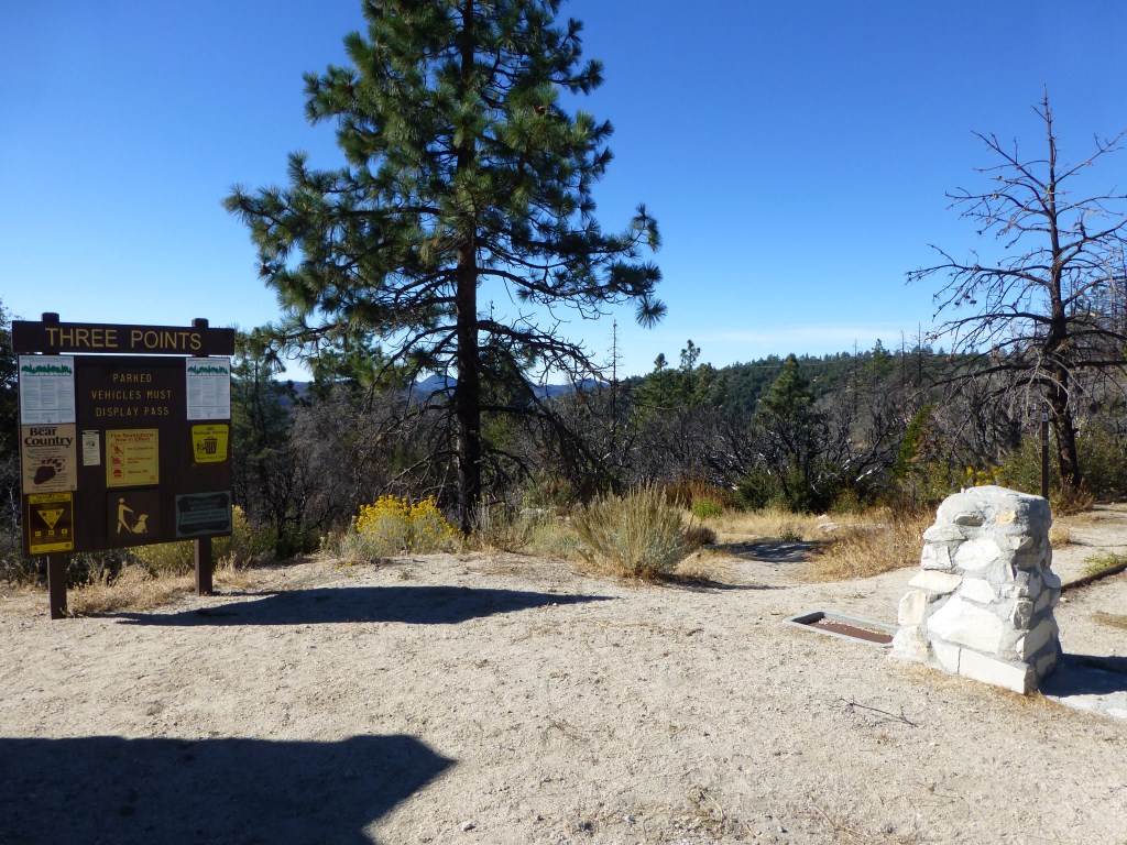
Three Points Trailhead
More photos here.
