Segment: From the Road leading up from the parking area at Angeles Crest Mile Marker 54.10 to West Mt. Waterman Ridge. This segment is a combination of dirt road and a “hiker’s trail” that is faint is areas and requires some minor route finding skills to navigate.
Stats: From the parking area to West Waterman Ridge: 1.7 miles, 1050′ of gain. From West Waterman Ridge to the parking area: 1.7 miles, 1050′ of loss. Round Trip: 3.4 miles, 1050′ of gain and loss.
Last Hiked: 5-14-2017.
Hikes:
- West Mt. Waterman Trail and Lower West Mt. Waterman Loop: 6.1 miles, 1,435′ of gain and loss.
- West Mt. Waterman Trail and West Mt. Waterman Ridge to Mt. Waterman: 6.6 miles, 1,755′ of gain and loss.
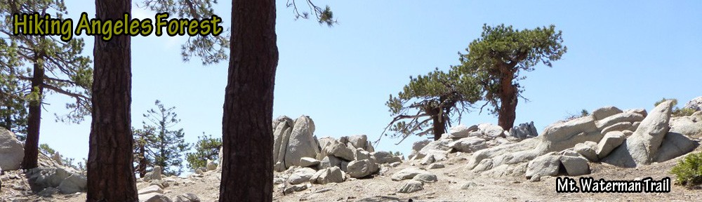
From the trailhead parking area at Angeles Crest Highway Mile Marker 54.10, cross the gate and follow the road up.

View of road leading up from the parking area at Angeles Crest Highway Mile Marker 54.10.
After a short distance, the road reaches a fork. Veer left at the fork and head up the west face of Mt. Waterman.

View of fork in the road.
The trail will continue to feel to be wide and easy to follow. Eventually, it will cross a seasonal watercourse which will typically be dry. Soon after this crossing, the path turns left.

View of the seasonal watercourse which is typically dry.
The road continues heading up passing a large rock formation on the right. After passing the rock formation, continue following the trail as it forms a switchback and heads left (east). Note: there is another trail/road after the rock formation that heads right (west), but, leads to a washout.

View with rock formation on the right.
The road will narrow and widen due to weathering and lead to an open space with an interesting rock formation a short distance off to the north which is worth visiting–especially if you want to sit down for a moment and take a break.

View of open space with interesting rock formation to the north.
To the east, a single track trail appears. That trail leads to a washout.

View east at the open space looking toward the start of the single-track trail which leads to a washout.
In order to continue to West Waterman Ridge, follow the faint hiker’s trail/watercourse uphill heading north. This path is steep (similar to the one heading up the north side of Winston Peak) and will gain over 500′ in half a mile.

View looking up the steep faint hiker’s trail/watercourse.
At the top of the steep climb, the path becomes clearer often returning to a width similar to the road. However, at times it will become faint. Significantly, it will always be heading uphill to some degree and shouldn’t require more than a few steps to find again if it becomes unclear how to proceed.

Much of the trail after the steep “watercourse” portion is comfortably wide and easy to follow as shown in this photo.
Two things make it clear when the trail meets West Waterman Ridge. The first thing is the view over and down the ridge. The second thing is a tree behind a small rock outcrop with a wilderness sign. At this point, the ridge leads up to Mt. Waterman and down to Three Points.

View of a tree behind small rock outcrop and wilderness sign.
