Trailhead: Chantry Flats
Trail: Mt. Zion Loop via Upper Falls and Lower Winter Creek Loop
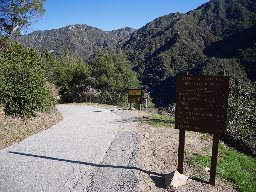
Description: From Chantry Flats Parking, go to the Gabrieleno Trail Trailhead (T1 on Trailhead Map) and follow the Gabrieleno Trail–an asphalt road–down to a bridge. Cross the bridge and continue following the Gabrieleno Trail (now dirt) to Fern Lodge Junction. At the junction, continue going straight until reaching Sturtevant Falls. Return to Fern Lodge Junction and take the Upper Falls Trail (a.k.a the Lower Gabrieleno Trail) to Falling Sign Junction and then turn right and take the Gabrieleno Trail past Spruce Grove Campground to the Junction with the Sturtevant Trail. Turn left and take the Sturtevant Trail to the Mt. Zion Trail and follow that to a clearly marked junction and take the summit trail to Mt. Zion. Return to the junction and continue hiking down to a junction with the Lower Winter Creek Trail (near Hoegees Campground). Turn left and follow the Lower Winter Creek Trail back to the bridge and then follow the road back up to Chantry Flats.
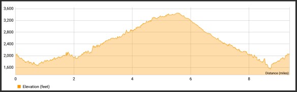
Stats: 9.8 miles, 2130′ of gain and loss.

Last Hiked: 2-9-2018
Peaks: Mt. Zion