Trailhead: Millard Canyon Trailhead, parking area T1
Note: Trailhead starts at the gate off of Chaney Trail

The gate is at the end of the parking area off of Chaney Trail
Trail: Upper Sunset Ridge Trail from Millard Canyon to Mt. Lowe
Stats: From the gate to Mt. Lowe (east route): 7.7 miles, 3508′ gain. From Mt. Lowe (west route) to the gate: 7.5 miles, .508′ loss. Round Trip: 15.2 miles, 3508′ of gain and loss
Last Hiked: 11-18-12
Trail Segments: From the gate, take the Upper Sunset Ridge Trail to the Cape of Good Hope. From the Cape of Good Hope, go up the Upper Mt. Lowe Railway Trail to Lowe Saddle. There are five trailheads at Lowe Saddle. Take trailhead #3 shown here up Mt. Lowe Road to the junction with the East Mt. Lowe Trail. Take the East Mt. Lowe Trail to the Junction with the Upper East Mt. Lowe Trail. Take the Upper East Mt. Lowe Trail to the Junction with the Upper Sam Merrill Trail and take the Summit Trail to Mt. Lowe. Return taking the Upper Sam Merrill Trail down to Mt. Lowe Road. Turn left at the road (east) and look for the trailhead for the Mt. Lowe Campground Trail on the right side (south) of the road. Take the Mt. Lowe Campground Trail down to the Upper Mt. Lowe Railway Trail. Stop by Mt. Lowe Campground to see the ruins of the Old Alpine Tavern and see plaques with photos of the Tavern and railroad. Then continue down to the gate the way you came up.
Points of Interest: Upper Mt. Lowe Railway ruins and signs showing the history of the railroad, Old Alpine Tavern Ruins at Lowe Campground
Peaks:
Photos:
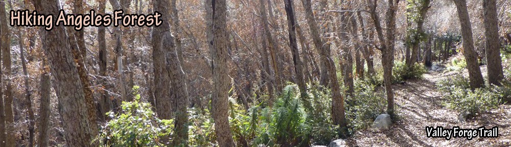
- Upper Sunset Ridge Trail
- Upper Mt. Lowe Railway Trail
- East Mt. Lowe Trail
- Upper East Mt. Lowe Trail
- Upper Sam Merrill Trail
- Mt. Lowe Campground Trail

View from Mt. Lowe looking toward San Gabriel Peak

Pingback: I’m Becoming a Cloud Chaser | Hiking Angeles Forest