
Trailhead: Chantry Flat
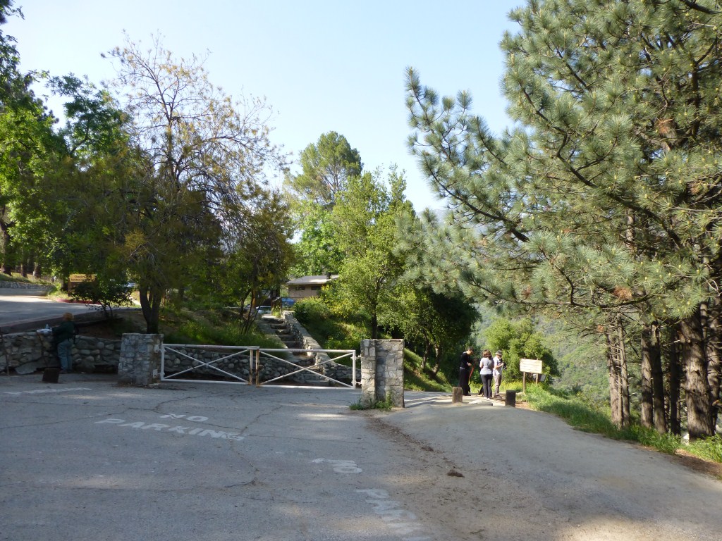
Chantry Flat Trailhead for the Gabrieleno Trail
Trail: Chantry Flat to Hermit Falls, Sturtevant Falls, and Spruce Grove Campground

Track map for Chantry Flat to Hermit Falls to Sturtevant Falls to Spruce Grove CG from April 2017 using Backcountry Navigator (US Forest Service-2013 map) from my phone.
Stats: 9.7 miles, 1970′ of gain and loss.
Last Hiked: 4-6-2017
Trail Segments: From the Trailhead (T1 on Map) at Chantry Flat take the Gabrieleno Trail–an asphalt road–down to the Hermit Falls Trail. Follow the Hermit Falls Trail to 3/4 Mile JCT, turn right and continue to Hermit Falls. Return to 3/4 Mile JCT and continue following the trail up to the JCT with the Gabrieleno Trail and the Lower Winter Creek Trail. Turn Right and follow the Gabrieleno Trail to Fern Lodge Junction and continue to Sturtevant Falls. Return to Fern Lodge Junction and follow the Upper Falls Trail to Falling Sign Junction. Turn right and follow the Gabrieleno Trail to Spruce Grove. Return to Falling Sign Junction and continue following the Gabrieleno Trail back down to Fern Lodge Junction. Return to the JCT with the Lower Winter Creek Trail and cross the bridge and continue up the asphalt road to Chantry Flat
Points of Interest: Cascade Picnic Area, Spruce Grove Campground, Hermit Falls, Sturtevant Falls.

Sturtevant Falls (4-6-2017).
