Location: Manker Flats Google Map

Vicinity Map for Manker Flats Trailhead
Parking: Parking may require a National Forest Adventure Pass.
The road where parking is available is divided and separated by dirt parking areas near the trailhead. Park on either side of the divided road and proceed west up the paved road.

View from east side of the divided road looking down the road leading to the trailhead.

View looking south down Mt. Baldy Road

View of trailhead
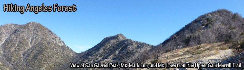
Hikes:

Pingback: Snow Hiking in Los Angeles: The Baldy Bowl Trail | Hiking Angeles Forest