I originally conceived of this blog as more of a website. Presently, it’s a little bit of both. When I started I had no concept of what a blog was as I had never followed one before. While I do something to add content almost daily, I can go weeks without publishing a post. Most of the time and effort I spend creating content is to be found on pages that don’t show up in news feeds and don’t have the ability to be tagged. My current ratio is roughly one post for every six pages I create.
Lately, I’ve been thinking about that ratio. At its core, this endeavor is about sharing my enthusiasm for hiking in Angeles Forest and hopefully inspiring and helping others to go there too. In order to reach more people and emphasize better what can be found on the pages of this site, it is clear I need to post more. At the same time, I’ve fallen way behind in updating key features I feel are central to how I want my site to work.
The gallery feature that I originally felt would be an important component of this site has gone neglected for far too long. This feature gives one the option to visually search for hikes by looking through galleries of photos that link to information about hiking to where the photo was taken. In part inspired by the WordPress Weekly Photo Challenge, I’ve decided to implement my own Weekly Gallery Update, where I publish a post of a few photos that I’ve added to one of my galleries. This will help keep me on track updating my galleries, generate a post that alerts others of the new photos that were added, and introduce new readers to this visual approach to navigate my site.
This week I’ve added five photos to the Trails Gallery. All photos in this gallery have a portion of trail depicted in them. For me, these are places I really enjoyed the experience of walking through.

May 2012
Above view from the Devil’s Backbone Trail.

October 2011
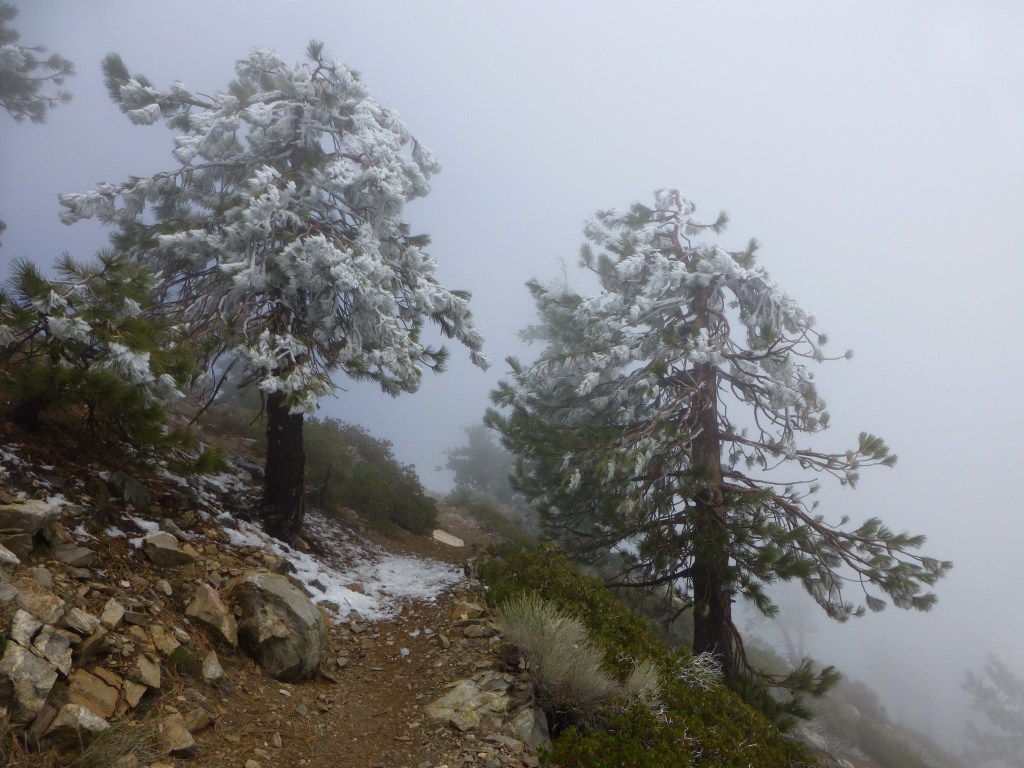
Above view from the Dawson Saddle Trail.

August 2011
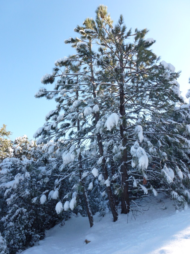
Above view from the Icehouse Canyon Trail.

November 2011
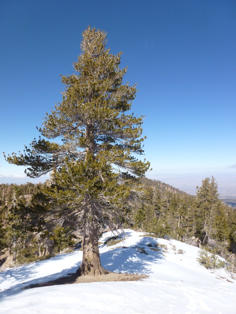
Above view from the Pacific Crest Trail.

April 2012
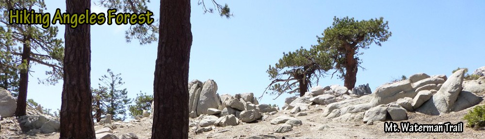
Above view from the Mt. Waterman Summit Trail