The first time I heard about the 52 Hike Challenge, I had already done that on my own and for similar reasons as Phillip (one of the founders of the challenge). As a result, I really didn’t see it as a challenge and didn’t think about it further. However, I finally opened an Instagram account this past January, noticed the 52 Hike Challenge hashtag, and started reflecting deeply on my hiking patterns since I started tracking them in 2011. Largely, this reflecting was because last year I only did 49.

My first view of the Devil’s Backbone Trail in September of 2011. If I was able to picture John Robinson’s description better I would have hiked this trail at least two decades earlier. Thinking that while standing there helped inspire me to start this blog. 59 hikes that year covering over 698 miles was a great start to this new lifestyle.
I started hiking regularly in part because I needed to lose weight. I hate the gym and am not good with diets. I needed something to do where weight loss would be a side effect instead of my main focus. Weight loss was my excuse to indulge myself and enjoy long days in the forest guilt free from other things I was putting on the back burner. I started hiking regularly in Angeles National Forest toward the end of 2010. In December of that year I saw a book on Mt. Whitney, got inspired, and soon made it my goal to stand on its peak. The reading I did convinced me that Mt. Whitney was achievable but I’d need to take training seriously. That turned out to be a perfect goal. One source suggested that I keep a log of the mileage and gain of my weekly hikes. I started doing that in January of 2011 and have continued doing so to this day. After attending a meeting at REI regarding hiking to Mt. Whitney, I decided I needed a year to get in shape to be able to actually start getting in shape. In 2011, I went on 59 hikes covering 698.1 miles with 97,913 feet of gain. Only one hike was outside Angeles National Forest.

David, Scott, myself, and Tim on Mt. Whitney August 15, 2012. By far my best year hiking with over 108 hikes covering over 977 miles.
By the time I set out on my first summit of Mt. Whitney in August of 2012, I had lost 67 pounds–some of my training included tennis and paddle tennis and I did start cooking at home a lot more. That year I went on 108 hikes covering 977.6 miles with 275,365 feet of gain. I’d completed two fantastic years of hiking, had achieved the desired side effect, loved the new lifestyle, and wanted to do more. I thoroughly enjoyed a return to an active lifestyle and the only change I contemplated was getting even more active.

Camilla, Etienne, myself, and my wife Debbie on Mt. Whitney on August 1, 2013. Unfortunately, on the way down I injured myself and began my long period of dealing with injuries. 2013 was still a decent year with 77 hikes covering over 638 miles.
2013 started out fantastic. In January, I went snowshoeing in Giant Forest. In April, I hiked the Grand Canyon, rim to rim and back. On August 1st, I was back on the summit of Mt. Whitney with my wife and some friends. However, I injured myself on the way down and was forced to take a long break from hiking. I ended the year having completed only 77 hikes covering 638.3 miles with 166,035 feet of gain. While the last quarter of the year was a disappointment, I was able to get in a few hikes in December and expected to fully rebound in 2014.

Grandview Campground where my daughter and I camped before visiting the Ancient Bristlecone Pine Forest. One of the few real high points in a disappointing year dealing with numerous injuries. This was another down year with my hiking totals falling to 59 hikes covering just over 430 miles.
I started 2014 a little heavier having taken so much time away from the trails to recover from my injury. I was anxious to get back to where I was the previous August. I felt a strong sense of urgency to get my mileage back up and start getting my weight back down. I set a goal to hike the High Sierra Trail and went about training on a timetable that was about being absolutely ready to easily achieve that. Unfortunately, I should have been more focused on making sure I was really healed from my injury. 2014 was a completely demoralizing year plagued with constant injuries. I didn’t make it to the High Sierra Trail. I couldn’t even physically pull off a day hike up from Onion Valley to Charlotte Lake to meet my friend Scott who hiked the route I believed I’d do with him. I gained a lot more weight and my hiking totals went down significantly again–59 hikes covering 430.1 miles with 106,377 feet of gain.

Smoke Tree Canyon on January 10, 2015, in the Anza-Borrego Desert. The year started off great but craziness off the trails kept me away. A demoralizing third straight year of significant drop off in hikes yielding a paltry 49 covering just over 339 miles.
For 2015, I began the year with the goal to take it slow, ensure I was indeed recovered, and see how I felt before coming up with any specific goals. It was a brutal year off the trails which meant there was little time to be on the trails. Somehow, being healthy wasn’t enough to guarantee at least one day per week in the forest. Things were so crazy for me and my family that I didn’t hike at all for months at a time. I gained a lot more weight and my hiking totals went down again–49 hikes covering a measly 339.9 miles with only 74,301 feet of gain.

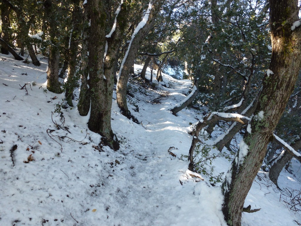
A reasonable start to the year found me enjoying a snowshoeing trip to Mt. Hillyer in Angeles National Forest.
Things are starting off better this year. In January, I went on 7 hikes covering 60.1 miles with 8,780′ of gain. If I just did that every month I’d be at 84 hikes covering 721.2 miles with 105,360 of gain by the end of the year. However, a lot of the crazy things pulling me off the trails last year will from time to time pull me off trail again this year. There’s just no way around that. I need a tangible goal (like my Mt. Whitney goal) to stay on track and get myself into the forest during those times when it’s possible to fit a small hike in when in the past I wouldn’t bother because the hike wouldn’t be long enough etc. I’m closer to needing to get in shape before being able to really get in shape than I am to realistically going after something more strenuous than I’ve done already. As I write this, I’ve gained back 47 of the 67 pounds I lost. While my knee, achilles tendon, and plantar fasciitis issues appear to be resolved; my increased weight means I still need to proceed with caution.

I also started off the year in the Anza-Borrego Desert. This view is from Arroyo Seco del Diablo. Given how difficult the past three years have been, I want to go on numerous trips. This was a great start for me.
This is where the 52 Hike Challenge comes in for me. While it looks realistic for me to reach 84 hikes (or more) this year; I’m also susceptible to skipping hiking days when I don’t have enough time to plan out going to someplace new or when there isn’t enough time for me to get in at least half a day in the forest (not including driving). One of the great things about the challenge is that you can start it any week of the year and just complete it over 52 weeks. So, I can use the challenge to inspire me to pick up those smaller hikes I’d probably otherwise miss. Since I’m planning on several trips that take me away from my local mountains, I think 52 hikes in Angeles National Forest (ANF) would be a great challenge for me over the next 52 weeks and still leave room for the many others I’m planning on doing. Therefore, the 52 would form a legitimate challenge for me. I recently went back over my hiking logs and figured out I’ve already completed over 150 different hikes through ANF since I started in 2011 and there are lots more that I want to do. So, to make it a little more interesting for me; my challenge will be 52 different hikes through ANF over 52 weeks. The planning issue won’t be as hard since I already have a list of over 150 to choose from. I’ll start from the hike I did in Icehouse Canyon last Wednesday (February 3) and track them on this page.