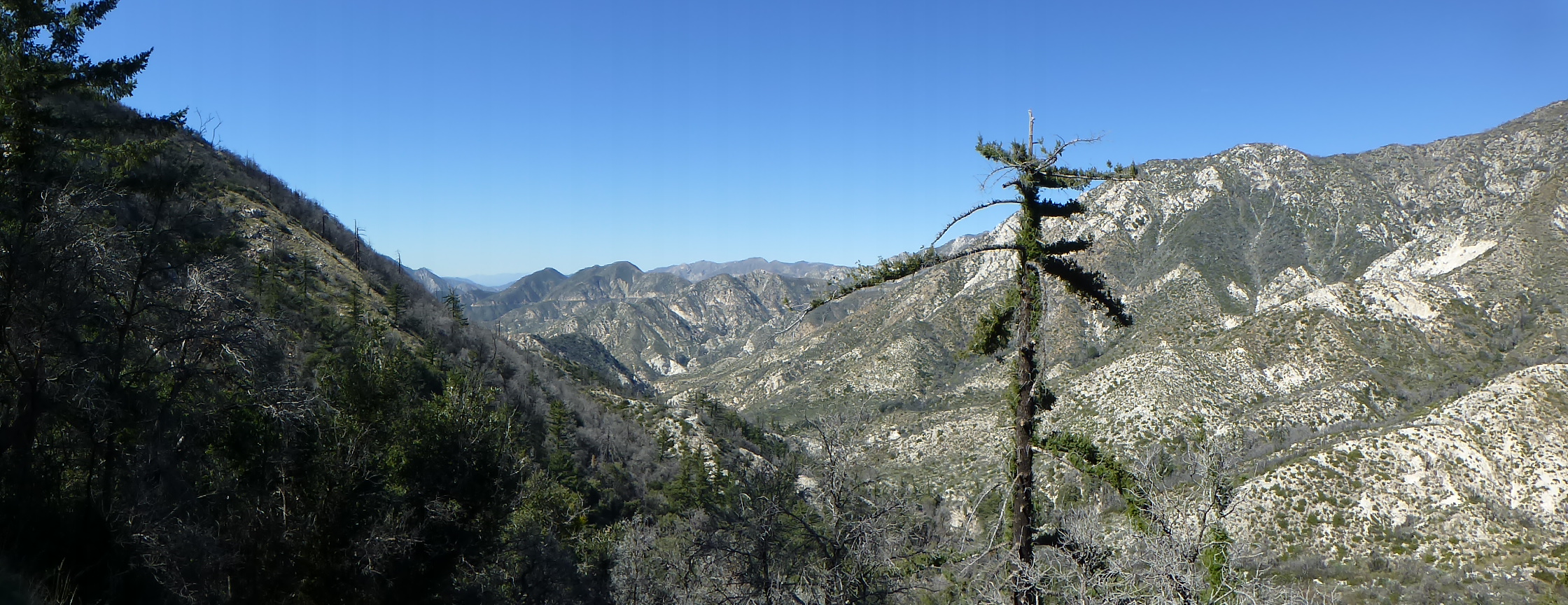
Two weeks ago it snowed as low as 3,000 feet in Los Angeles. Last week temperatures got into the 90’s for a couple days (what happened to spring?). I hiked up to Mt. Lowe with Scott last Tuesday and saw no remains of snow on the north slopes. I realized that without another storm, I might only have one more chance to hike in snow this year. So, I drove up to Islip Saddle and hiked the Pacific Crest Trail to Mt. Islip on Sunday. There was no snow at the trailhead and at first I thought I was too late.
Pacific Crest Trail near Islip Saddle Trailhead. (click to enlarge).
By a quarter mile into the hike snow appeared as I traveled on the north slopes. It was of the icy variety so I put on my microspikes.
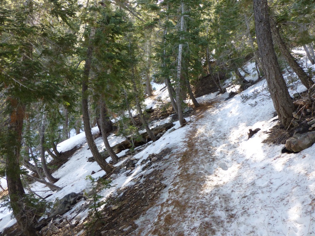
Icy snow on the Pacific Crest Trail between Islip Saddle and Little Jimmy Campground.
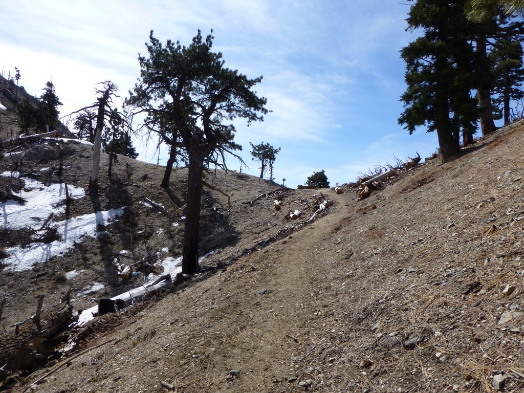
Throughout the day the presence of snow was uneven. At times almost completely melted away.

Pacific Crest Trail between Islip Saddle and Little Jimmy.
At other times snow was abundant. However, it almost always had an icy feel to it. When I reached Little Jimmy Campground, I enjoyed seeing that a Boy Scout Troop had camped overnight. I’m really looking forward to backpacking this year starting with my upcoming Grand Canyon trip the first week in April.

Pacific Crest Trail between Islip Saddle and Little Jimmy. (click to enlarge).
By the time I made it around the north face of Mt. Islip the snow was essentially gone with only small patches remaining. So, I took off my microspikes until my return.
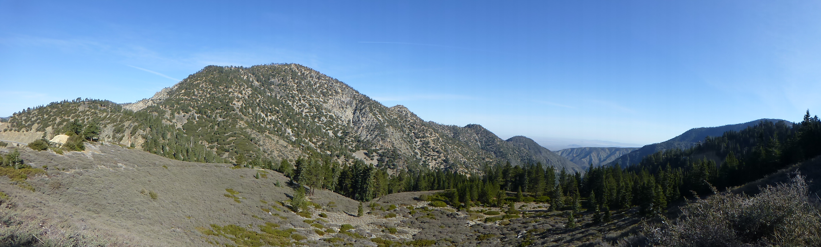
Pacific Crest Trail at Windy Gap.
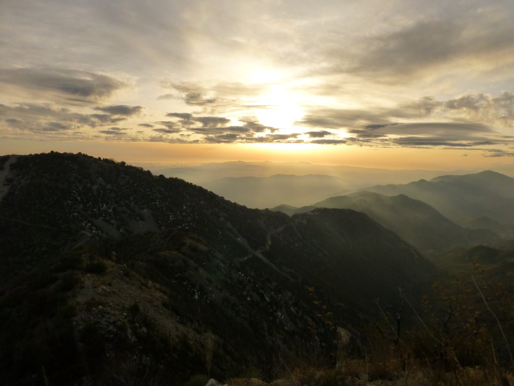
The presence of at least some snow along parts of the trail without a north facing orientation enhanced the view as I made my way to Mt. Islip.

View from the Islip Ridge Trail. (click to enlarge).
While there wasn’t snow on the trail for the entire hike, there was enough to enjoy and feel like it was more of a snow hike than not. I took my time on this one and savored what could be the last remnants of this unusually dry winter. If we do get another storm soon, at over 6,600 feet in elevation at the trailhead, this trail is bound to get more snow.