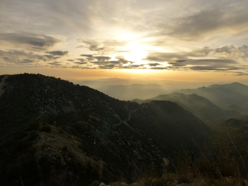
My friend Lorenzo and I were treated to a marvelous sunset last Sunday on our hike from Eaton Saddle to Mt. Lowe, Inspiration Point, Muir Peak and Mt. Markham. With a sky of interesting cloud formations for the sun to reflect upon from below and our vantage point above the mountains where it would eventually set from our view, photographic opportunities were plentiful. Looking through the photos, it appears I was in the mood to take numerous zoom shots (some a little abstract). A representative sample is in the gallery below (click to enlarge).
The original plan was to just hike to Mt. Muir. However, my wife was getting over a cold but still wanted to hike. So, we took an extra car so she could turn back if she felt like it–which she did close to Mt. Lowe. With only Lorenzo joining us on our weekly family-friends hike, it was easy to alter plan and add hiking to Mt. Lowe as a good stopping place for Debbie to rest a while and turn back.
Over the rest of the day, Lorenzo and I took our time and talked to a number of hikers along the way. I even convinced two of them to give Muir Peak a try (in a recent post I mentioned how Muir Peak is under appreciated).
By the time we got back to the saddle between Mt. Lowe and Mt. Markham it was late enough to be clear that the sunset was going to be special. We knew it would be wonderful to watch the sun make its way below the clouds and then set below the mountain tops which we would look down upon. We also knew that if we went for it, we would need headlamps to find our way back to our cars.

View down Bear Canyon toward Mt. Lukens near the saddle between Mt. Lowe and Mt. Markham just after deciding to summit Mt. Markham. Note the light from the sun breaking through the clouds from above.
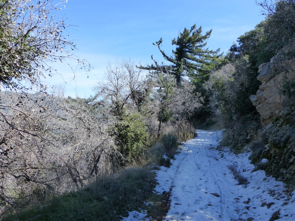
The Mt. Markham Trail is a “use trail” that follows the ridge up to the peak with a few spots that are steep and rocky that many hikers might find uncomfortable to traverse being in that grey area that is truly neither hiking nor rock climbing.

View of the sun breaking through the clouds part way up the Mt. Markham Trail.
The orientation of the trail is such that hiking up to the peak required us to turn our backs to the sunset. So, we would look back often but also really pay attention to changes in light to alert us to a more meaningful change in the path of the sun through the clouds.

The sun making it below the clouds lighting up the trail.
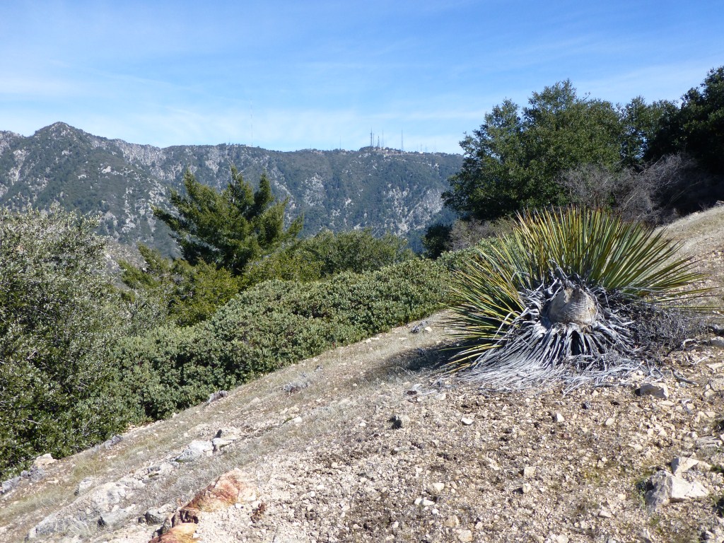
The peak of Mt. Markham is essentially a long ridge that slopes downward slightly from the south where it is first reached to the north where it yields a great view of San Gabriel Peak and Mueller Tunnel. We made it to the south end while the sun had just started making its journey between the clouds and mountain tops (from our vantage point).

View from the south end of Mt. Markham with Mt. Lowe below on the left and Mt. Lukens beyond on the right.
By the time we made it to the north end of the peak, the sun was getting low enough that the longer angle of light started to produce some great colors.

View from the north end of Mt. Markham.
There were two realities that made us head back to the south end of the peak. First was the fact the the north end blocks some of the view, and second we needed to get far enough along the trail so that we wouldn’t need our headlamps until after we had traversed the steeper sections. As we made it down the trail, the clouds started reflecting the colors of the changing light. The sky soon was filled with yellow, orange, and red. It was at this time that I took most of my zoom shots.

View from the Mt. Markham trail just below the south end of the peak.
Fortunately we made it back to the saddle before needing to put on headlamps. This post was possible only because Lorenzo decided to loan me his camera (I forgot mine at home). While we had a system in place to remember who took which pictures for most of the day, it was great of him to allow me to use it almost the whole time we we trekking on Mt. Markham so that I could make this post. Fortunately, we both use the same model of camera.