Los Angeles has numerous places to hike in the snow during winter. Of course, it’s the LA version of being in the snow; we need to drive to it—which I guess makes sense as even our subway stations have parking lots. To be clear, I’m not talking about the Hollywood version; the snow is real. Surprising as it may sound to some, getting to snow in Los Angeles is easy and numerous opportunities exist that don’t require special equipment (like tire chains) to make the journey. For most residents, the drive time to find snow is similar to the time it takes to commute to work.
Having lived in Los Angeles my entire life, I didn’t realize how easily I could get to snow until a few years ago—at least as easy as getting to the beach from most of the places I’ve lived in LA. I didn’t learn about snowshoeing until last year, and I didn’t learn about microspikes until a couple weeks ago (thanks Chris, the Kahtoola microspikes you told me about work great). I’ve now become part of the subculture of Angelenos who own some array of snowshoes, crampons, and/or microspikes primarily for hiking in our local mountains. I’ve already snowshoed twice this year and I’m looking forward to getting to the snow every week or two for the rest of winter.
Standing on Mt. Baldy in snow (for the first time) a few weeks ago, I thought about how much I enjoy snowshoeing and how much the places in the forest that I’ve hiked numerous times in the other three seasons look and feel different in snow. Since then, I’ve been thinking about all the spots I want to get to this year that I haven’t seen in snow yet, as well as those places I’ve already been in snow. I realized I could create a winter series (of undetermined periodicity) about snow hiking in Los Angeles to share my experiences and perhaps inspire others to give some form of hiking in snow a try.
On New Year’s Day, my family and I went to the Long Beach Aquarium. As we got further away from the mountains it became easier to see how much snow had accumulated on them. I thought about the Rose Parade and wondered how many people realized that the parade was taking place closer to the snow than the beach.
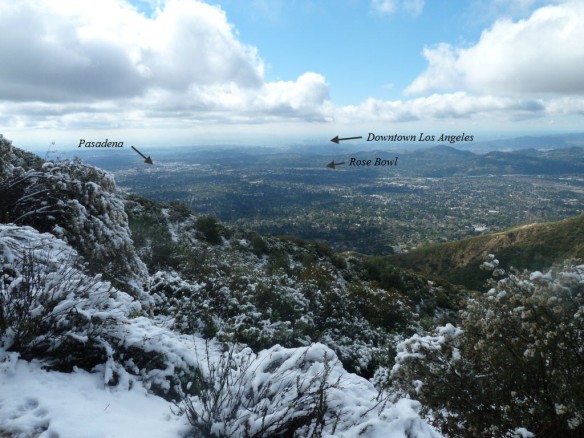
View toward Downtown LA from the Lower Sam Merrill Trail just below Echo Mountain.
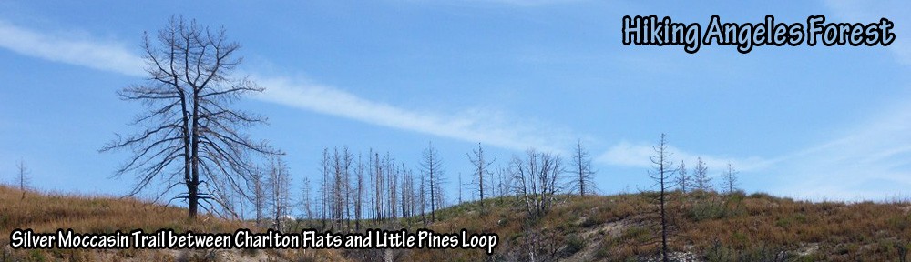
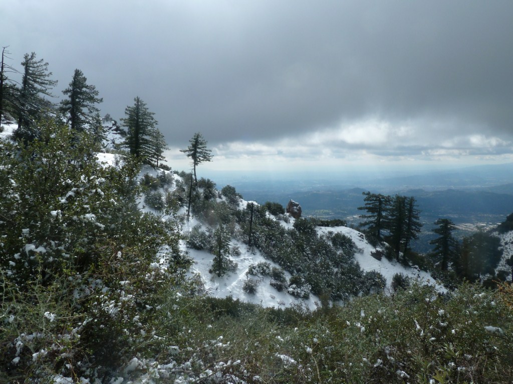
For this first post of the series, I’ve decided to highlight the ease of getting to snow by starting with a hike that is about a 15 minute drive from Pasadena. It is also a good introductory hike because driving conditions will not be an issue as they can be on other hikes in Angeles Forest because this hike starts below snow level. The cost of starting at a low elevation is that it requires somewhere between a 2 and 3 mile hike to reach the snow. This is one of the most popular hikes in the forest (probably due to easy access). As a result, lots of people are guaranteed to be there. This hike starts from the Cobb Estate Trailhead where most people hike to Echo Mountain. Many people continue up from Echo Mountain and hike to Inspiration Point via the Castle Canyon Trail, or they hike to Inspiration Point via the Middle Sam Merrill Trail, or they do a loop hiking up one trail and down the other.
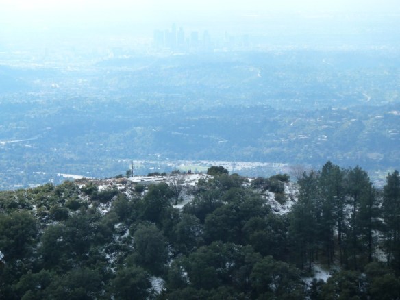
Zoom in view looking down on a lightly snow covered Echo Mountain with Downtown Los Angeles in the background from the Castle Canyon Trail.
Being on the south face of the San Gabriel Mountains and at comparatively low elevations, the snow will probably only last a day or two after a storm on Echo Mountain (elevation 3,207′) and not much more than a week after a storm near Inspiration Point (elevation 4,510′). Therefore, I suggest checking the snow levels after a storm to determine if these spots have snow.
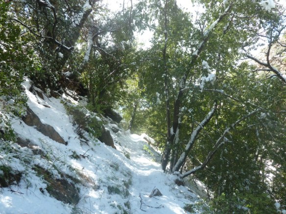
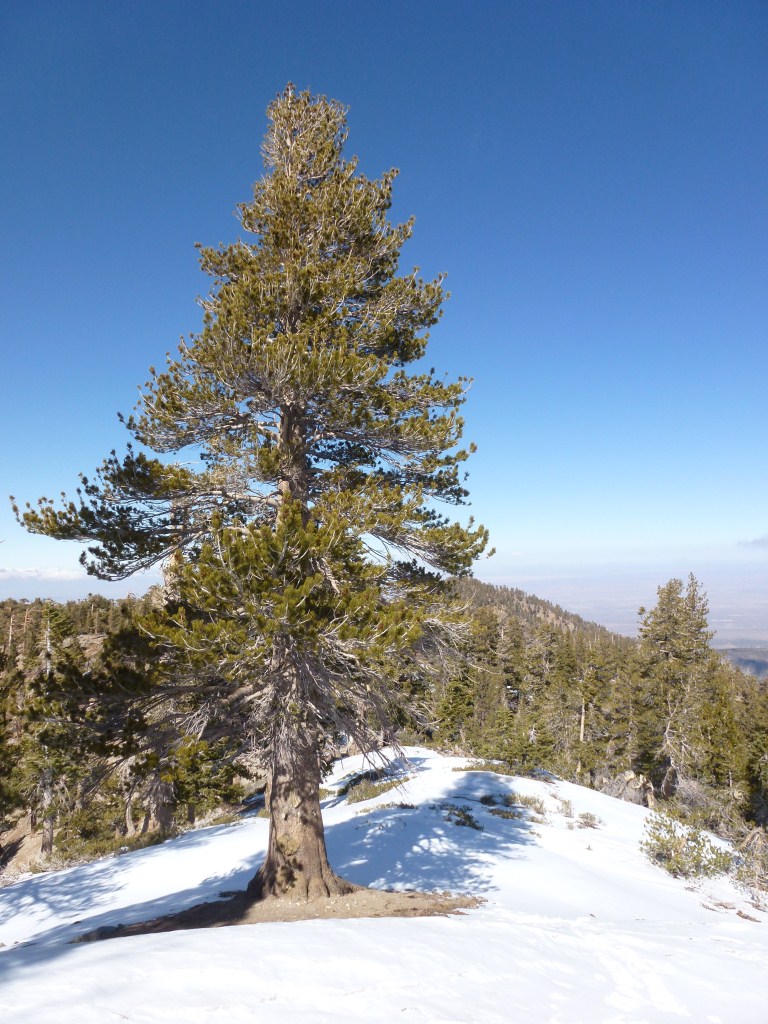
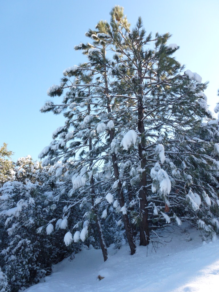
Castle Canyon Trail
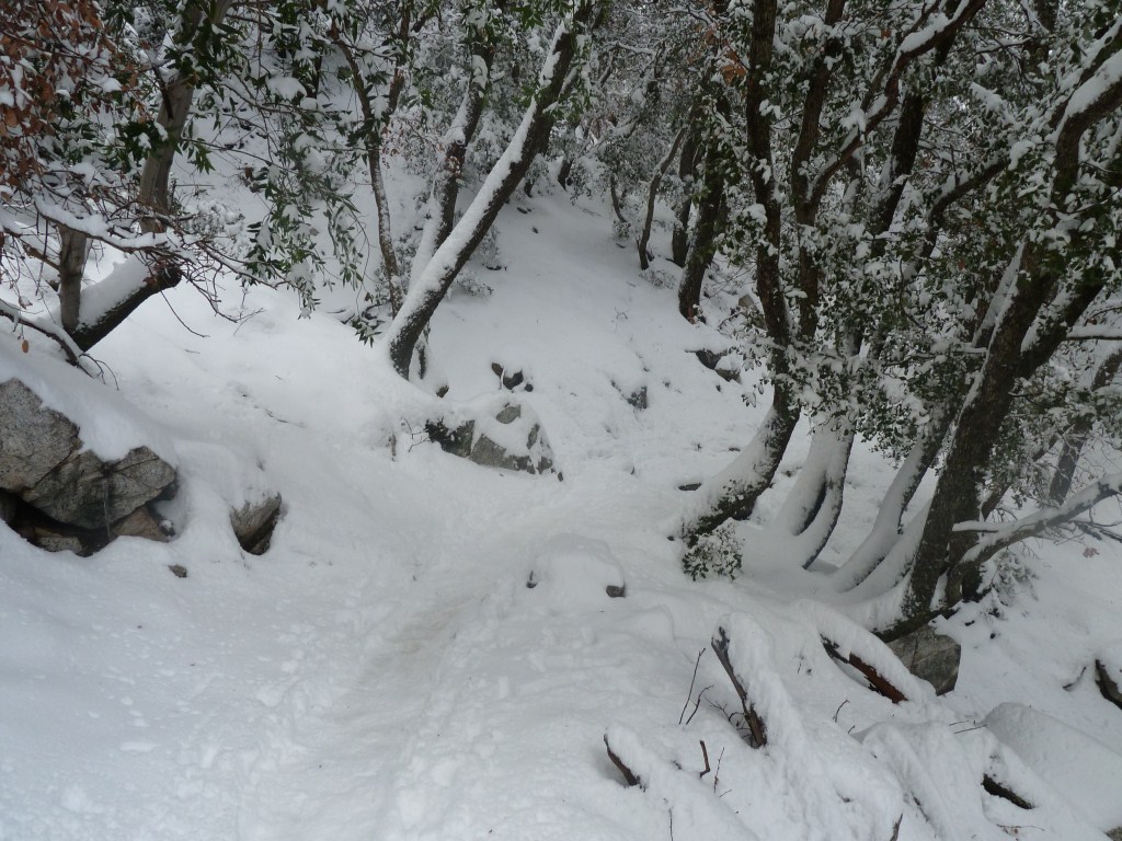
In the past when I’ve hiked the Castle Canyon Trail in snow (as far back as February 2011 when these pictures were taken), I’ve done so without snowshoes, crampons, or microspikes because I didn’t have them. The depth of snow on the trail rarely had my normal hiking boots deeper than about 8″ in the snow. So, this hike is achievable without special equipment, but would be made a little easier if you happen to have one of the above mentioned boot accessories.
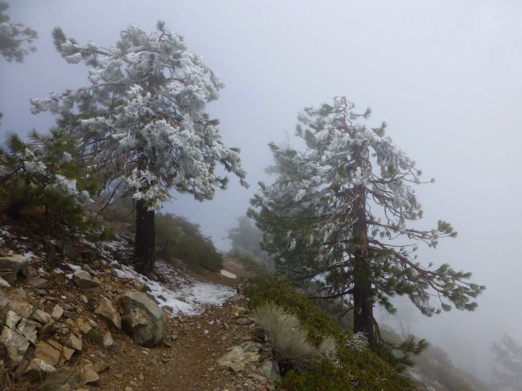
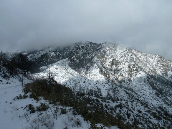
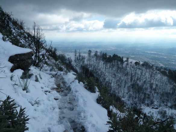
View toward west hump of Muir Peak as seen from the Castle Canyon Trail near Inspiration Point.
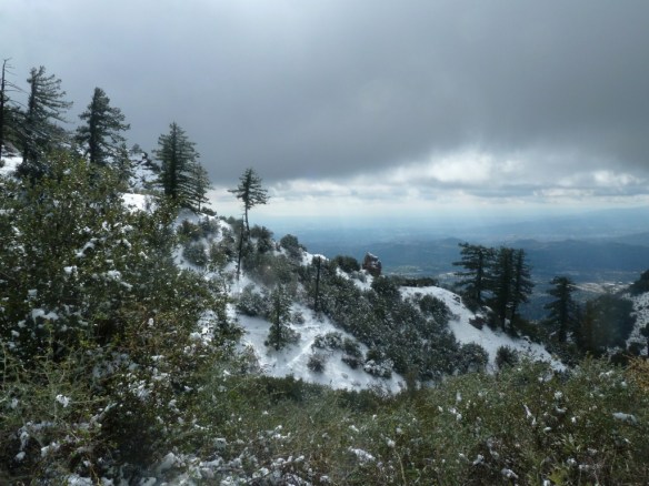
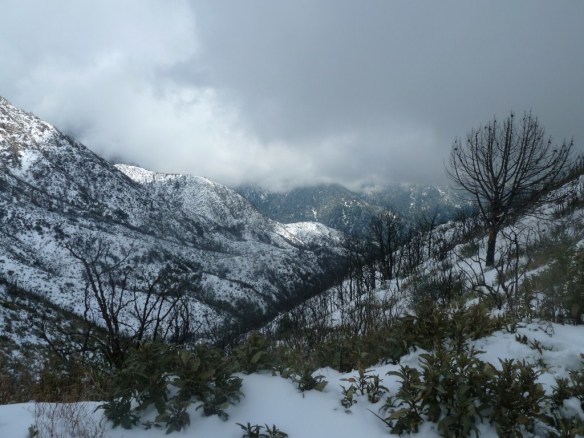
View from the Castle Canyon Trail near Inspiration Point.
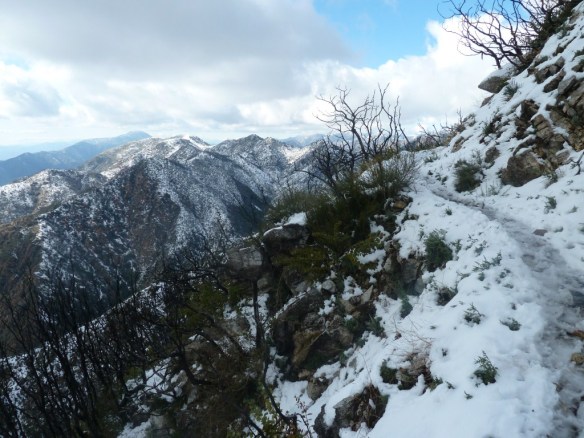
View toward Mt. Lowe (partially blocked by clouds) from Inspiration Point.
View toward Mt. Wilson (blocked by clouds) from Inspiration Point.
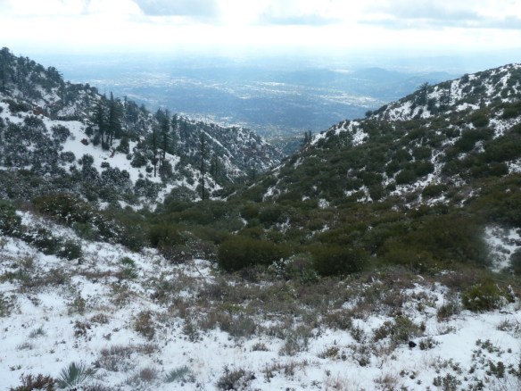
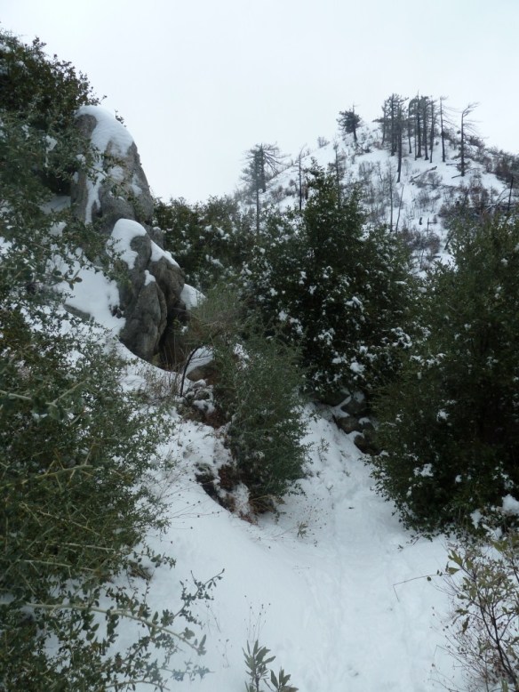
View down Castle Canyon from Inspiration Point.
If I hike up to Inspiration Point via the Castle Canyon Trail, I typically hike down using the Middle Sam Merrill Trail which goes around the north side of an unnamed peak. This means its snow lasts longer and is often deeper.

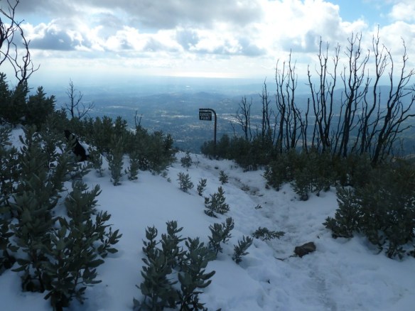
Middle Sam Merrill Trail.
Making it around to the west side of the unnamed peak yields excellent views of the Pacific Ocean on a clear day, JPL, and the city below.
The Middle Sam Merrill Trail on the west side of the unnamed peak with the Pacific Ocean in the background.
Middle Sam Merrill Trail
Another good thing about the Middle Sam Merrill Trail is it has a fairly unobstructed view back into the forest looking northwest toward Brown Mountain.
View toward Brown Mountain from the Middle Sam Merrill Trail.