This is the third post in my series about snow hikes in Los Angeles. The first one emphasized an opportunity to hike in snow at the lower elevations of Echo Mountain and Inspiration Point without needing any special equipment. The trade-off is that the snow is not usually present (but will be there several times during the year) making it important to track the weather report and look for snow levels getting lower than about 3,500′. The second post emphasized the guaranteed option of reaching snow at Mt. Baldy whose peak reaches 10,064 feet and will remain in snow until sometime in the late spring. The trade-off being that special equipment is needed.

View near the summit of San Gabriel Peak.
Hiking to San Gabriel Peak from the north side of the mountain is a great experience that is between the two previous options in terms of snow presence and required equipment. Being on the north side and at a higher elevation than Inspiration Point, snow lasts longer. So, it can remain for a couple weeks making timing less important. It can be hiked without special gear. However, there are very small portions that get a little icy. So, if you have microspikes or crampons they can be helpful. I used this trail to try out my snowshoes for the first time. The snow was deep enough for my snowshoes to work but not deep enough for them to be required as illustrated by the snowshoe prints in the photo above. Next time I go, I’ll just bring my microspikes. If Mt. Wilson Road is closed there will be no car access to the San Gabriel Peak Trailhead. Park at Red Box (which is what I had to do on one of my snow hikes) and hike the short distance up Mt. Wilson road to the trailhead.

The San Gabriel Peak Trail near the trailhead where the snow was not as deep and a little icy compared with further up the trail.

View looking out toward Mt. Baldy from the San Gabriel Peak Trail.

Zoomed in view of Mt. Baldy from the San Gabriel Peak Trail.

View toward Mt. Disappointment from the San Gabriel Peak Trail. Snow can get slippery in this area that is more exposed to sunlight.

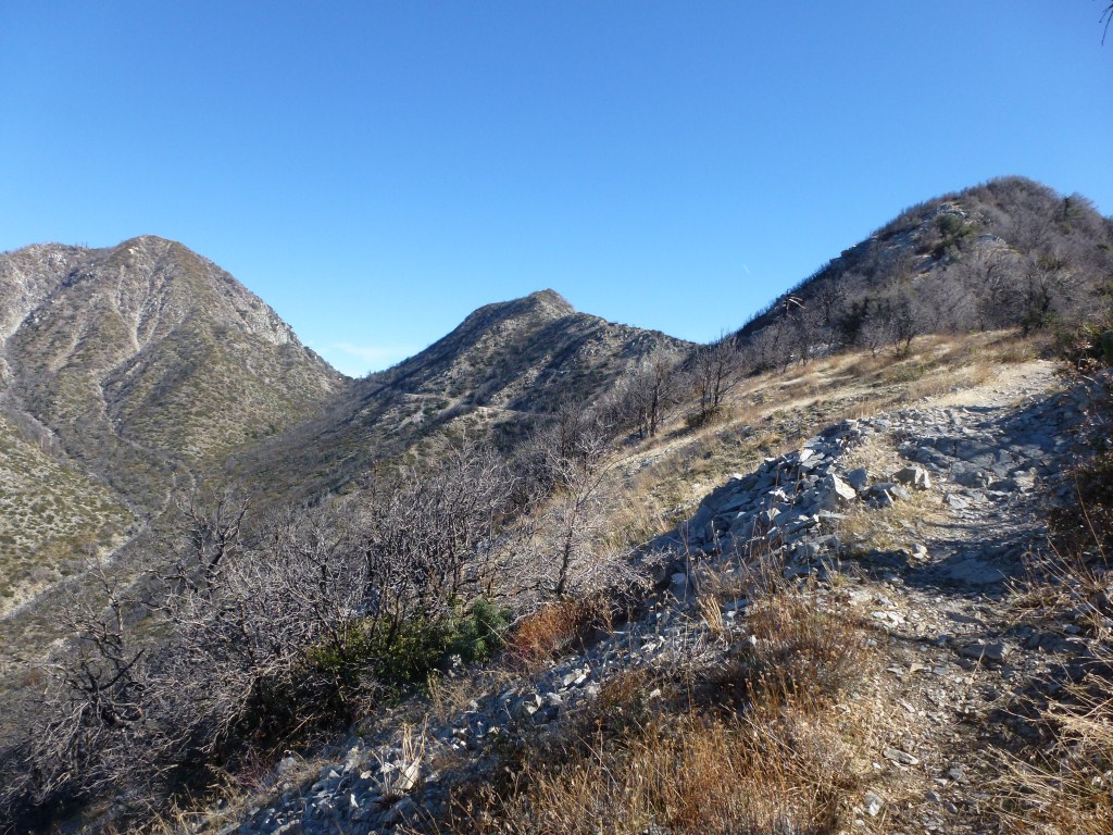
View toward the south face of Josephine Peak and Strawberry Peak. Note the lack of snow on the south face of those mountains although this part of the San Gabriel Peak Trail is significantly lower.

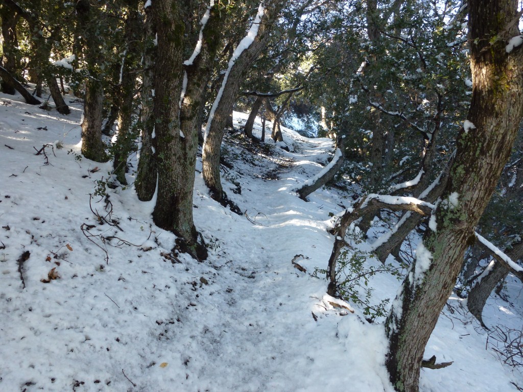
One of the many tree lined sections of the trail.

View of San Gabriel Peak.

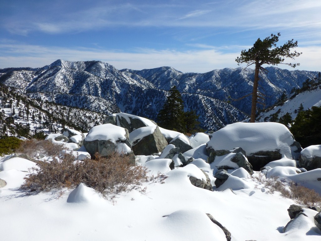
View south toward Mt. Lowe from San Gabriel Peak.

View north into the San Gabriel Mountain from the peak.