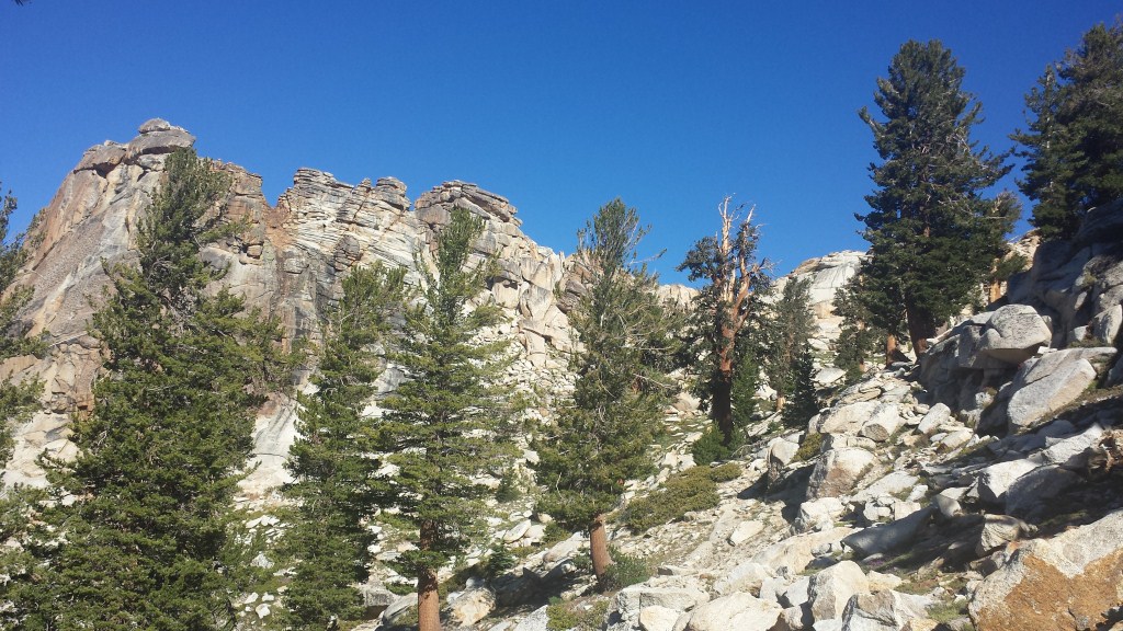
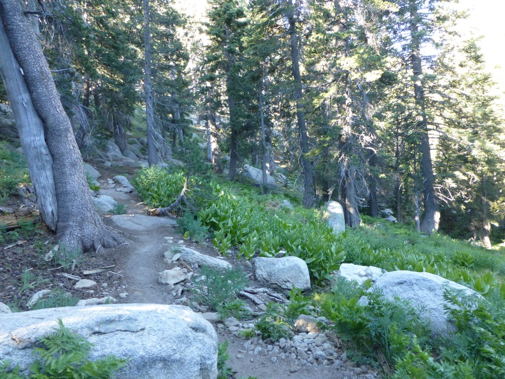
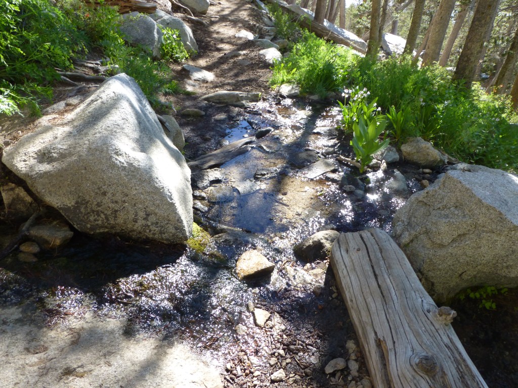
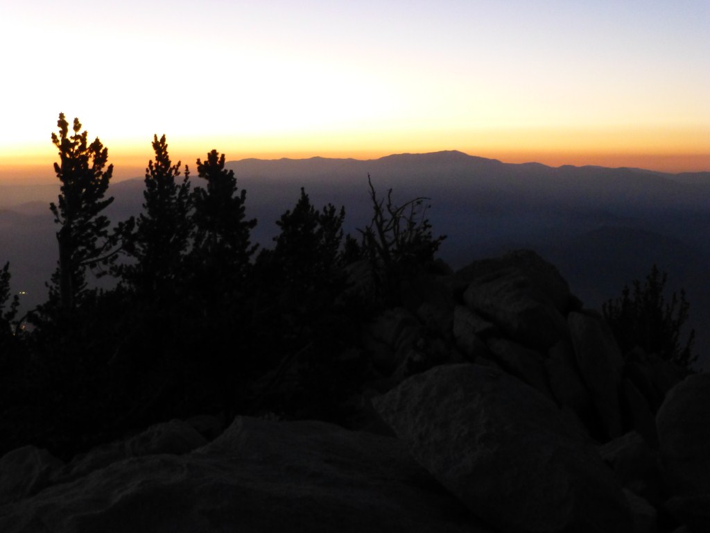
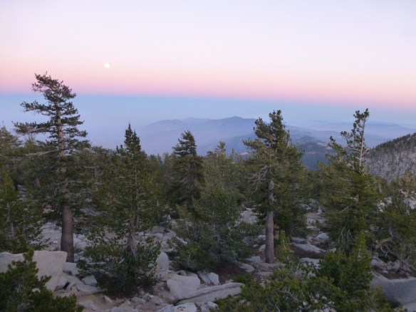
Honorable Mention: Icehouse Canyon to Icehouse Saddle and back via the Chapman Trail.

View just below Icehouse Saddle.
I haven’t made it back into the forest regularly since injuring myself. Of the 77 hikes I’ve done this year, only 8 have taken place after my IT band injury became too extreme to ignore any longer after finishing my Mt. Whitney hike on August 1st. Those 8 only add up to about the same mileage I did over 4 days at the Grand Canyon. My injury combined with some personal stuff kept me away from the forest and my blog.
Last Sunday I decided to go on a solo hike in one of my favorite areas of Angeles Forest–Icehouse Canyon. Part of what makes the place so great is the plethora of choices on has to continue on past Icehouse Saddle if one of three directions leading to Cucamonga Peak, Ontario Peak, or Mt. Baldy. So, I didn’t need to commit to much of anything when I started from the trailhead.
Adding to my enjoyment of just being in the forest was the fact I hadn’t hiked Icehouse Canyon before during this time of year. Some of the views opened up a bit as the deciduous trees have lost all their leaves, it was much colder, the light was different because the sun is at a lower angle this time of year, and the fallen leaves added some vibrant color to the forest floor. I spent a lot of time thinking about 2013 and what I’m hoping for in 2014. My knees handled the trip excellently, though the left one was a little sore the following day. In addition to the awesome terrain; being back in the forest, reflecting, and my knees holding up were what put this hike on this list. It’s still probably going to be a few months before I can consider hiking on back to back days. I’m hoping to be able to hike the High Sierra Trail (73.5 miles from Sequoia to Mt. Whitney and finishing at Whitney Portal) in summer 2014.
10. Car Camping Trip Staying at Upper Oso Campground
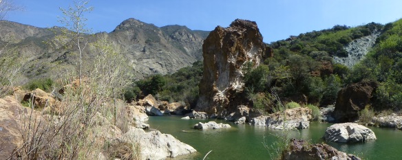
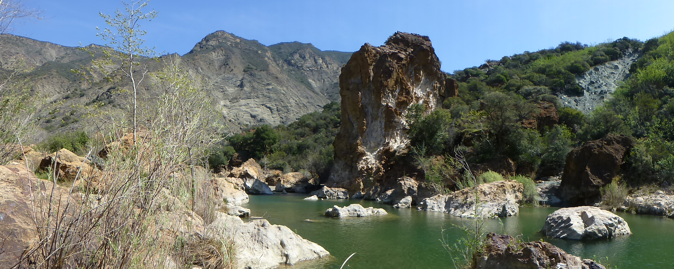
Red Rock to Gibralter Dam
This was a three day-two night trip in Los Padres National Forest. If was the first overnight “training” trip for many of us planning on hiking Mt. Whitney. Over the three days, we (me, Debbie, Lorenzo, Etienne, Camila, Chloe, Olivia, and Roxanne) tested out gear and went on several short hikes. The best one was from Red Rock to Gibralter Dam where we got a great introduction to the Santa Ynez River Valley.
9. Monument Peak, Laguna Meadow Loop.
Big Laguna Trail between Noble Canyon Trail and Water-of-the-Woods.
My friend Scott guided me on this hike. For me, It was a great introduction to the Laguna Mountains. We had lunch on Monument Peak where I fixated on a breathtaking view of the Anza Borrego Desert. We hiked along the Pacific Crest Trail for a while and by the time I was trekking through Laguna Meadow I was blown away by the range of experiences especially on a hike without that much elevation gain. At 15.1 miles with only 1750′ gain, this was our last training hike together before our Grand Canyon Trip.
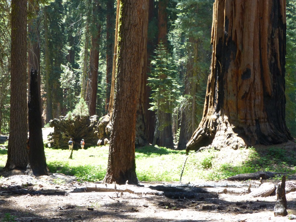
8. Sequoia: Congress Trail with side trip to the Lincoln Tree
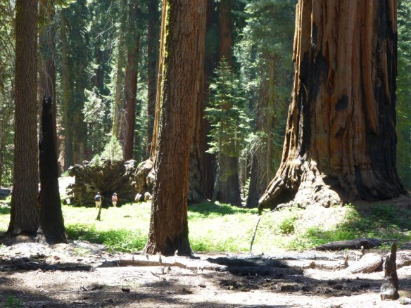
Near junction between Congress Trail and Alta Trail.
I found myself in Sequoia a lot this year. I find hiking through a forest filled Giant Sequoia’s to be one of the most spectacular experiences I’ve had hiking. The fact that these huge trees are living organisms can be tough to wrap one’s mind around. The Congress Trail is a very easy hike. In terms of high reward for little effort, it’s pretty hard to beat–which is why I wanted to take my daughter there. We had an great time father-daughter bonding, car camping at upper stony creek campground and trekking through this part of Giant Forest.
7. Mt. San Jacinto
Mt. San Jacinto Peak Scramble
This was an overnight backpacking trip where we (me, my wife, and Lorenzo) spent the night at Little Round Valley Campground which we all thought we excellent. We hiked up the Marion Mountain Trail, ate dinner at the peak under moonlight, and hiked back down to our campsite training for our planned 3:30 am start for our upcoming Whitney Trip. My wife pulling off peak scrambling down from the summit at night (a first for her) was almost as impressive as the terrain.
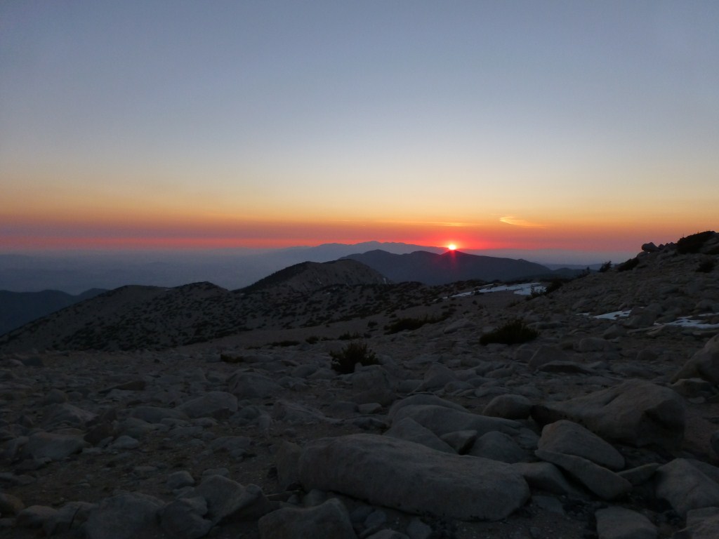
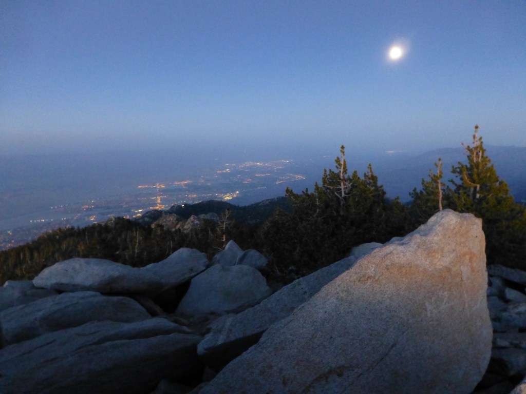
6. A night alone on the summit of Mt. San Gorgonio.

Sunset from in front of the bump on Mt. San Gorgonio where I ate dinner.
Among the advantages of hiking on a weekday is it is possible to find yourself alone in some amazing places in nature. The summit of Mt. San Gorgonio is one of them and I was treated to a truly spectacular evening. The following day I hiked down the remarkable Sky High Trail (still covered in patches of snow) meeting my friend Scott at Dry Lake which offered me the amazing opportunity to traverse the mountain range.
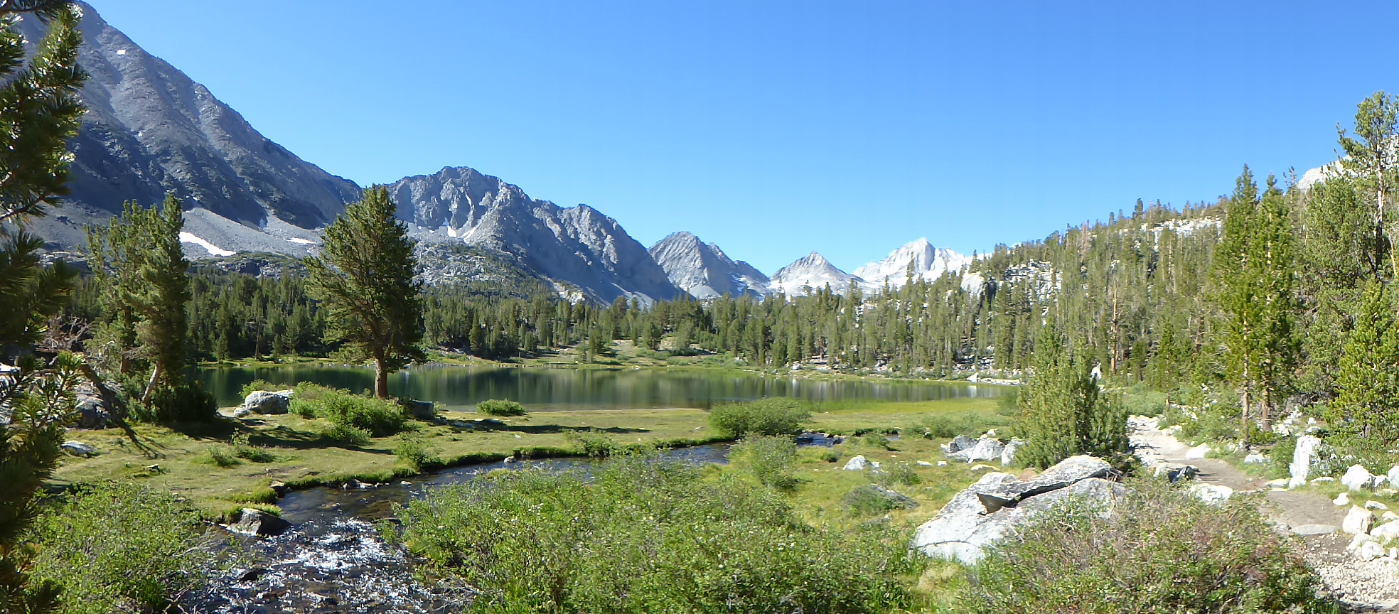
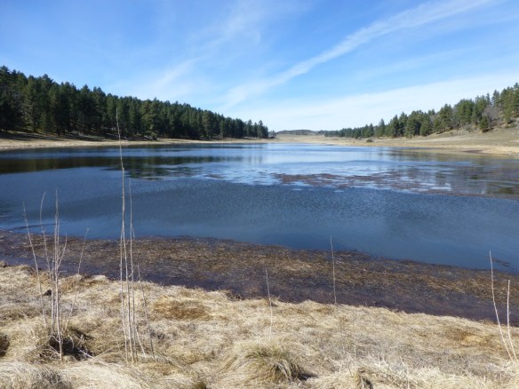
5. Little Lakes Valley
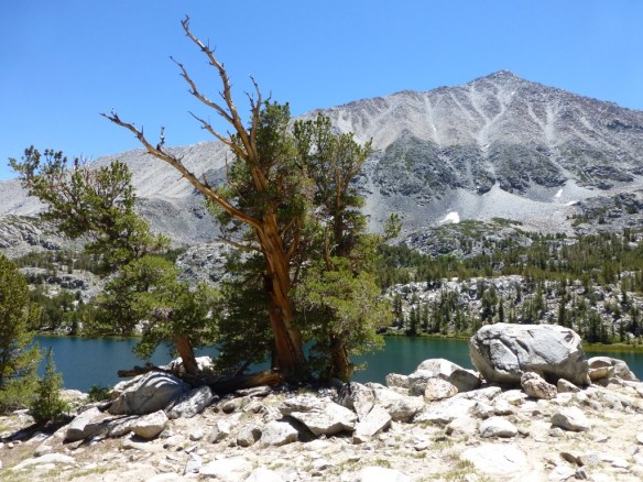
Little Lakes Valley
This trip was another great car camping experience with my daughter. We stayed at Rock Creek Campground–which was excellent. In my view, Little Lakes Valley is a phenomenal introduction to the Eastern Sierras. The trail from Mosquito Flat to Morgan Pass is remarkable in how much of the terrain is lake, stream, and/or meadow. Starting out at over 10,000′ in elevation and making it up to over 11,000′ on a fairly gradual 3.5 mile one way trip to Morgan Pass yields an incredible opportunity to experience the high country of the Sierras with comparatively little effort.
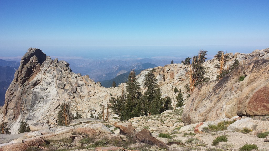
4. Alta Peak

Alta Trail, JCT Alta Meadow to Alta Peak
We (my wife, Etienne, and I) did this as a training hike for Mt. Whitney. For those living in the LA area who hike San Gorgonio, San Jacinto, and Mt. Baldy as Whitney training, I would add this to the list or replace any one of the above with this one–especially if your Whitney plan is multi-day. We started at the Sherman Tree Trail, hiked up the Alta Trail where the view at Panther Gap is stunning. We spent the night at Mehrten Meadow (though in the future I’d try to make it to Alta Meadow) and the following day hiked to the peak and then back down taking the trail to Lodgepole. The view from Alta peak was incredible and includes a view of Mt. Whitney for appropriate inspiration.
3.Snowshoeing in Giant Forest.
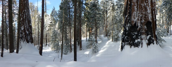
Moro Rock Crescent Meadow (road) January 2013
This was my first return to Sequoia since the mid 1970’s. Scott and I car camped at Potwisha Campground (where it got freezing cold at night). In January, with a temperature reading of 6 degrees at the trailhead, Scott and I were treated to phenomenal experience snowshoeing through Giant Forest. I was completely blown away and saw the place as Nature’s Version of New York City.
2. Mt. Whitney via Whitney Portal

Mt Whitney 2013.
This was a truly remarkable trip. It ranks second only because I went last year as well. Otherwise it’s really a coin toss with number one. This was the culmination of a lot of intense training with my wife for over a year as she went from novice hiker to backpacker. We we joined by our good friends Etienne and Camila. I never got around to blogging about it. The experience was radically different than what I had the year before. This more than any other hike instilled in me the impact of what we bring to a hike as a key component toward what we experience. I added lots of photos and dated them so it’s easy to see what was from 2012 versus 2013. Of potential interest to others is the scouting I did for campsites near Consultation Lake, where I might stay at the end of my hoped for High Sierra Trail trip in summer 2014.
1. The Grand Canyon rim to rim and back again.
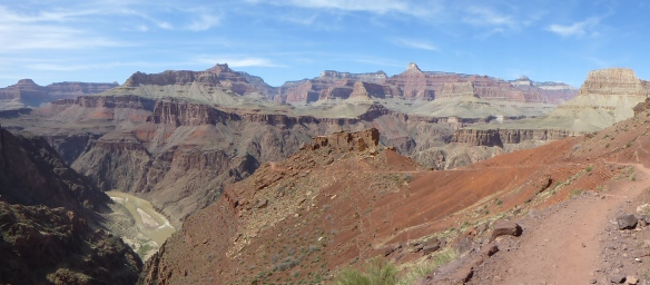
The Grandeur of the South Kaibab Trail as seen just below the Tonto Platform.
This was a four day backpacking trip I did with my friend Scott. It was a phenomenally diverse experience. I was a surprised by it’s intimacy as I was impressed by all the big things it’s been described as being. For me, the best stretch was the North Kaibab Trail, but in many ways that’s also a coin toss. It is clear why it is regarded as one of the “wonders of the world”. I wrote about 13 things that I think make it so, but there are significantly more than that …