I went hiking last Thursday between the two storms that finally brought some rain to drought stricken California. My hike started with the clouds from Wednesday’s storm slowly breaking up and giving way to mostly blue skies as I made my way from the Cobb Estate Trailhead to Mt. Lowe.
Lower Sam Merrill Trail
With a freshness to the air that comes after a rain and the corresponding intensified smells that damp ground and wet vegetation produce, the landscape felt more alive to me than usual. The interplay of sunlight breaking through and then being hidden by clouds added a compelling dynamism and energy that clear skies don’t produce for me.

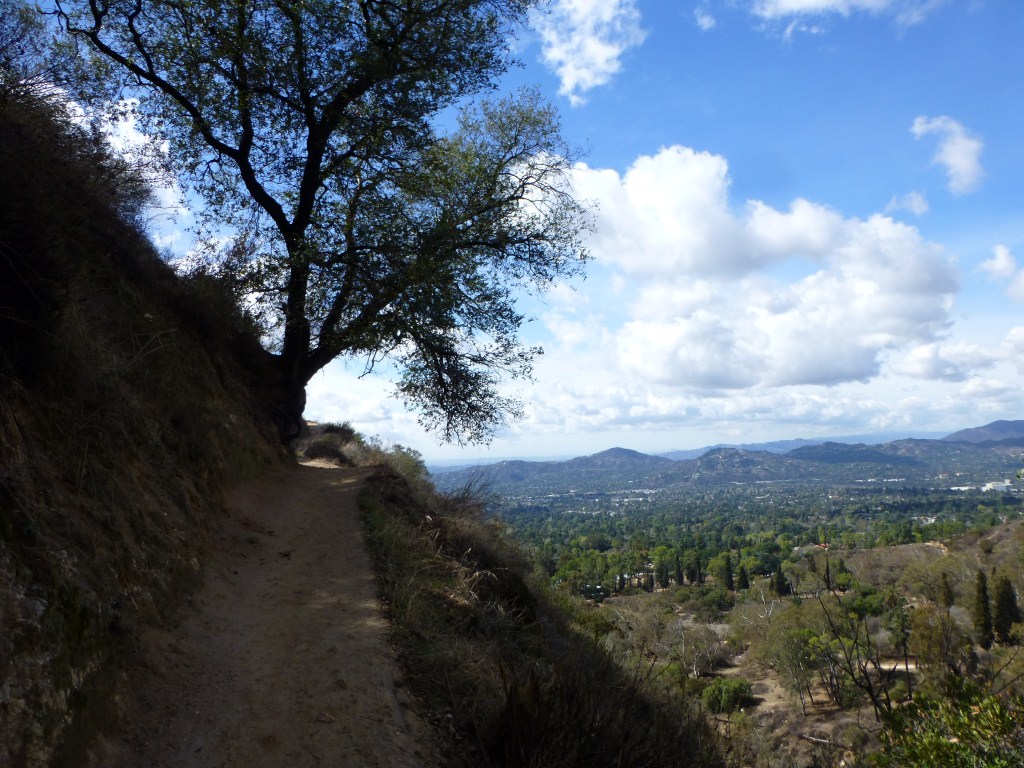
View coming down the Upper Sam Merrill Trail from Mt. Lowe.
By the time I made it down to Mt. Lowe Campground and found the water tank Chris told me about, the sun was out and the skies were mostly clear. I enjoyed a short rest sitting at one of the picnic benches feeling confident I was going to see a fantastic sunset on my way down the Middle Sam Merrill Trail.

Water Tank above and behind the remains of the concrete retaining wall of the Old Alpine Tavern.
It’s just over a mile from Mt. Lowe Campground to Sunset Point along the Middle Sam Merrill Trail. The terrain is easy hiking but views are blocked by the north face of an unnamed mountain (that I sometimes refer to as Inspiration Peak for quick reference). While I covered that short amount of ground, the weather changed dramatically. I arrived at Sunset Point to discover it was engulfed in the foggy moisture of clouds making their way over the mountain. The coming storm was making its presence felt. Further down the trail, light from below began breaking through foretelling my pending descent below the clouds.

Light breaking through the clouds from below along the Middle Sam Merrill Trail.
When I got below the clouds, the view was clear and expansive. With clouds forming above the mountain but not off in the distance, the nuanced subtle changes in light made the night portion of my hike extra special.
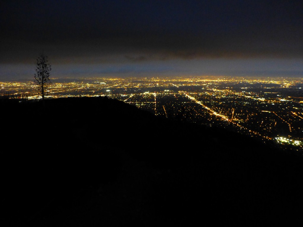
View from the Middle Sam Merrill Trail close to Echo Mountain.
Not being able to predict what I’m going to experience is part of what makes hiking so enjoyable for me. Every hike seams to produce it’s own story. Starting my day with clouds breaking up from Wednesday’s storm and ending it with the arrival of clouds for the storm that started late Thursday night intensified the feeling that I was just able to squeeze this one in–a calm between two storms.


