Snow Hiking In Los Angeles: Gabrieleno Trail

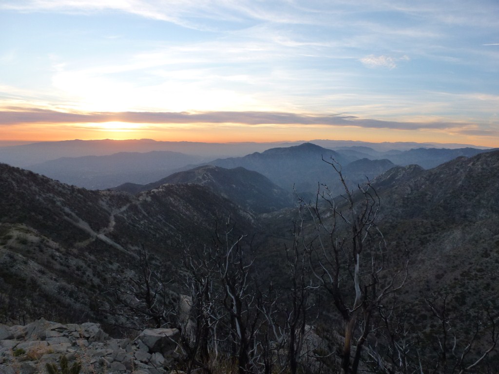
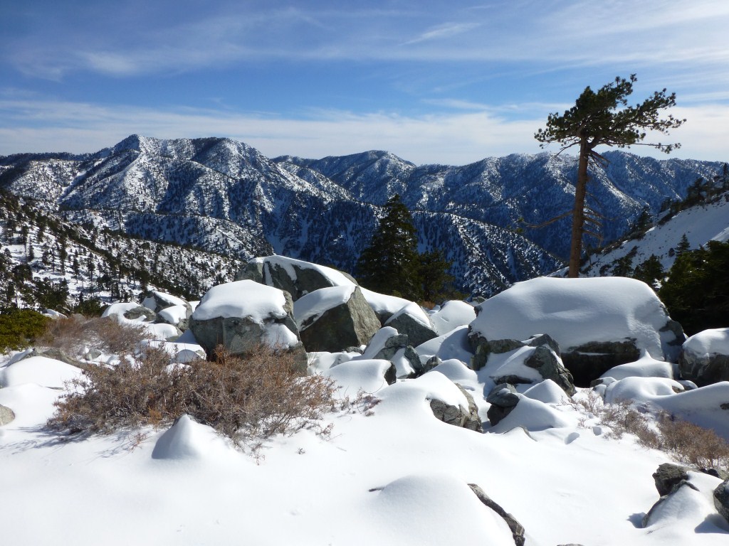
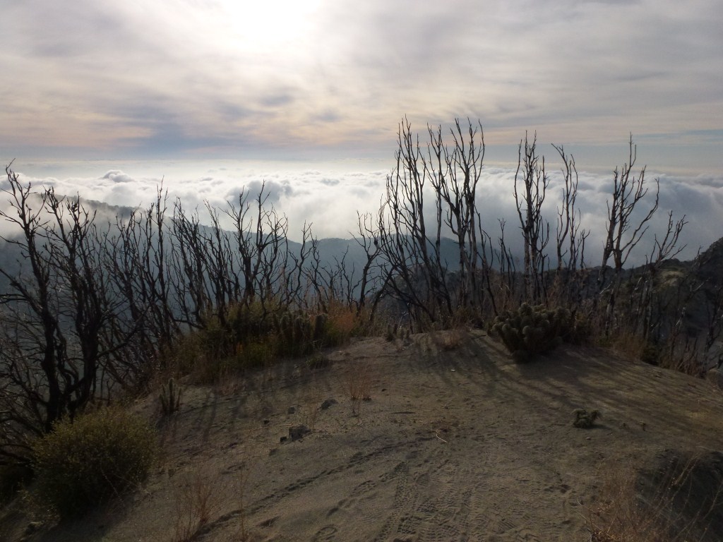
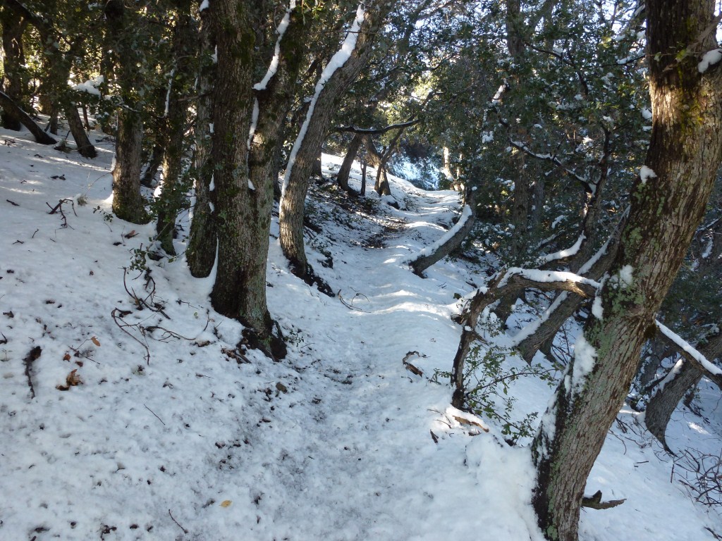
For awhile I’ve wanted to find more snow hikes that don’t have so much snow on the trail that snowshoes are required and aren’t so steep that microspikes or crampons are required.  We had a short snow storm last week with snow levels getting down to around 2,500 feet yielding a great opportunity for me to find another one. So, last Saturday I went to Red Box and snow hiked the Gabrieleno Trail from Red Box to Valley Forge. This trail turned out to work so well  to snow hike in just my waterproof trail runners that I snow hiked it again with a group of friends and family the following day.  The San Gabriel River also runs next to this trail and crosses it at several points.

Red Box is at about 4,600 feet in altitude and Valley Forge is at about 3,500 feet.  These elevations are important as they are high enough to receive snow several times a year and low enough for the snow to melt within around a week of clear skies with lingering patches on the north slopes a little longer. While the snow is pretty much gone right now, another storm is expected Tuesday and Wednesday with expected snow levels forecasted to once again get down into the 3,000 foot range.  This is a great introductory snow hike especially for those just wanting to experience the snow without needing special equipment.  Click on any image below to start a slideshow.

Nature Question #9: What Species Of Bird Is This?

What species of bird is this?

November 2012

November 2012

Photo taken along the trail between Eaton Saddle and Mueller Tunnel.

The answer to the last question turned out to be a Golpher Snake. It could be a San Diego Gopher Snake, a Pacific Gopher Snake, or a mix of the two. I looked at photos from several web sites and can’t really tell the difference.  Unless someone comes forward and can explain why it’s one of the above options, I’m going to settle for the larger classification of gopher snake. As more information is shared, it will appear on the Golpher Snake Forest Life Page where there are already links to more information.

I’d like to thank Sue from the blog Backyard Biology for narrowing it down to a gopher snake and making it manageable for me to research and also providing a link to a photo of a San Diego Gopher Snake.

This week nobody sent me any links to blog articles and I was unable to find any articles using the search feature in the WordPress Reader.

If you notice this post and have written (or decide to write) a post on gopher snakes, send me a link and I will add a link to its forest page and create a reference page like the one for 1Year. 365 Species to your blog.

My Nature Questions are about my asking for help from the blogosphere (and other internet users) to learn about species living in Angeles Forest and to share that learning with others.  I’m really hoping that this turns out to be a viable and meaningful way to share knowledge.

A Patch Teeming With Lady Bugs

One of my favorite things about hiking is the unexpected interactions with life in the forest. Yesterday, on my weekly family and friends hike, we came across a patch teeming with lady bugs along the Gabrieleno Trail. My friend Lorenzo and I took great delight in photographing and watching them well past the time when the rest of our group had lost interest. I’ve only seen this many one other time which was with my brother in August 2011 along the Vincent Gulch Trail by the San Gabriel River. Click on an image to enlarge and begin a slide show.

Weekly Gallery Update #9: Views From Trails

My Weekly Gallery Updates are about sharing photos I’ve added to the gallery section of this site.  The galleries are my way of creating a visual approach to searching for hikes by having collections of photos that link to information about hiking to where each photo was taken.

This week I added five photos to the Views From Trails gallery.

February 2012

February 2012

Above view from the Mt. Markham Trail looking down Bear Canyon.

December 2012

December 2012

Above view from the Baldy Bowl Trail.

August 2011

August 2011

Above view from the Islip Ridge Trail toward Crystal Lake.

December 2011

December 2011

Above view from the East Mt. Lowe Trail, looking down on Inspiration Point and toward Catalina Island.

December 2011

December 2011

Above view from the Upper San Gabriel Peak Trail.

Snow Hiking in Los Angeles: San Gabriel Peak

This is the third post in my series about snow hikes in Los Angeles.  The first one emphasized an opportunity to hike in snow at the lower elevations of  Echo Mountain and Inspiration Point  without needing any special equipment. The trade-off is that the snow is not usually present (but will be there several times during the year) making it important to track the weather report and look for snow levels getting lower than about 3,500′.  The second post emphasized the guaranteed option of reaching snow at Mt. Baldy whose peak reaches 10,064 feet and will remain in snow until sometime in the late spring.  The trade-off being that special equipment is needed.

View near the summit of San Gabriel Peak.

View near the summit of San Gabriel Peak.

Hiking to San Gabriel Peak from the north side of the mountain is a great experience that is between the two previous options in terms of snow presence and required equipment.  Being on the north side and at a higher elevation than Inspiration Point, snow lasts longer.  So, it can remain for a couple weeks making timing less important.  It can be hiked without special gear.  However, there are very small portions that get a little icy.  So, if you have microspikes or crampons they can be helpful.  I used this trail to try out my snowshoes for the first time.  The snow was deep enough for my snowshoes to work but not deep enough for them to be required as illustrated by the snowshoe prints in the photo above.  Next time I go, I’ll just bring my microspikes.  If Mt. Wilson Road is closed there will be no car access to the San Gabriel Peak Trailhead.  Park at Red Box (which is what I had to do on one of my snow hikes) and hike the short distance up Mt. Wilson road to the trailhead.

The San Gabriel Peak Trail near the trailhead where the snow was not as deep and a little icy compared with further up the trail.

The San Gabriel Peak Trail near the trailhead where the snow was not as deep and a little icy compared with further up the trail.

View looking out toward Mt. Baldy from the San Gabriel Peak Trail.

View looking out toward Mt. Baldy from the San Gabriel Peak Trail.

Zoomed in view of Mt. Baldy from the San Gabriel Peak Trail.

Zoomed in view of Mt. Baldy from the San Gabriel Peak Trail.

View toward Mt. Disappointment from the San Gabriel Peak Trail.  Snow can get slippery in this area that is more exposed to sunlight.

View toward Mt. Disappointment from the San Gabriel Peak Trail. Snow can get slippery in this area that is more exposed to sunlight.

View toward  the south face Josephine Peak and Strawberry Peak.  Note the lack of snow although this part of the San Gabriel Peak Trail is significantly lower.

View toward the south face of Josephine Peak and Strawberry Peak. Note the lack of snow on the south face of those mountains although this part of the San Gabriel Peak Trail is significantly lower.

One of the many tree lined sections of the trail.

One of the many tree lined sections of the trail.

View of San Gabriel Peak.

View of San Gabriel Peak.

View south from San Gabriel Peak.

View south toward Mt. Lowe from San Gabriel Peak.

View north into the San Gabriel Mountain from the peak.

View north into the San Gabriel Mountain from the peak.