The phrase “the map is not the territory” came to mind on my hike through upper bear canyon on Friday. The trail needs a lot of work for most hikers to want to make the effort. However, for those who are up for it, there are many rewards.

A good portion of the trail is along a stream. (click to enlarge)
There are a number of things to contend with like downed trees and areas that are overgrown. The good news is that others have made their way through and marked the trail with ribbons or cairns and cut the poodle dog bush enough so that it is fairly easy to avoid making contact. There were numerous times when I got to a spot and wasn’t clear how to move forward until I spotted one of the ribbons or cairns. So, a large part of this 1.8 mile portion of trail is slow going. I’d allow double the amount of time to traverse it especially if your timing may have you chasing light.
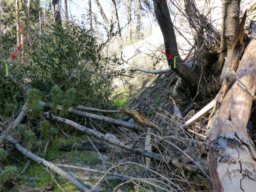
Part of the trail through downed trees. Note the ribbons marking the trail and a way around the poodle dog bush.
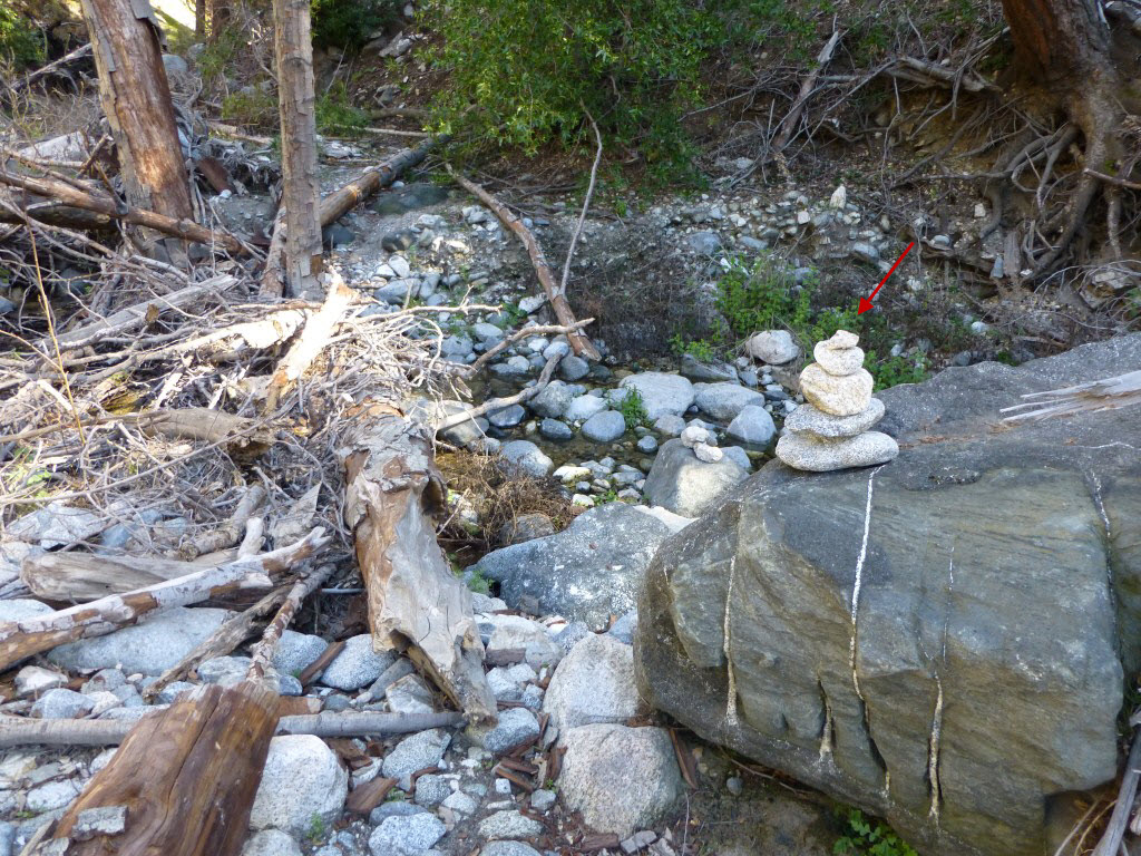
One of the cairns along the trail.
Given the trail conditions, I’ve added numerous photos to the Upper Bear Canyon Photo Page. Fortunately there are also numerous stretches where the trail is easy to follow and enjoy even down by the stream where most of the challenges reside.

Easy stretch of trail near the stream.
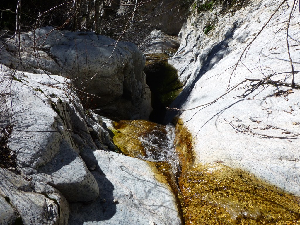
One of the spots where the course of the water is mostly over boulders.

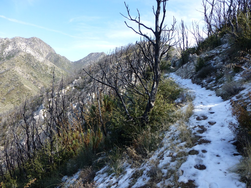
One of the easy stretches of trail heading down toward the stream from Tom Sloan Saddle. (click to enlarge)
View down Bear Canyon near Tom Sloan Saddle. (click to enlarge).

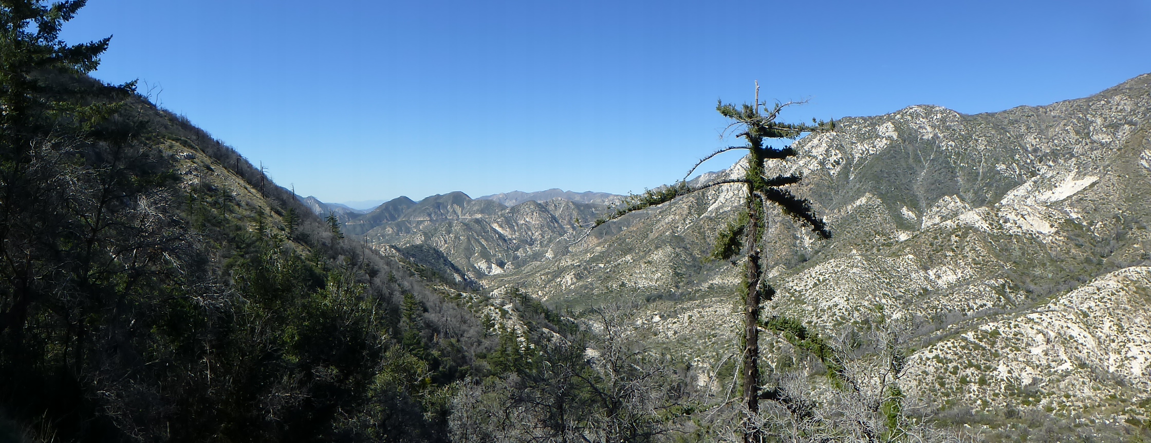
View up Bear Canyon looking toward Mt. Markham’s long flat peak with San Gabriel Peak and Mt. Disappointment to the left. (click to enlarge).