Earlier this month, I drove up Angeles Crest Highway planning to go on a hike I will probably end up doing later this week. It was one of those days when I felt like hiking somewhere different than I planned the night before but I didn’t have any concrete ideas of what I wanted to do. After passing Clear Creek Junction, I noticed the open/closed information sign indicated that Angeles Crest Highway was now open to Wrightwood. This was the inspiration I was looking for. I love hiking from Dawson Saddle and I was definitely in the mood to take in the scenery between Dawson Saddle and Mt. Baden-Powell.
View of the north face of Throop Peak from the Dawson Saddle Trail.
That began my “change in plans” theme of the day. By the time I parked my car at Dawson Saddle I had seen enough snow on the north face of Throop Peak that I started thinking about what I would do if there was icy snow further up on the trail. In the past, I’ve found the short stretch of trail that crosses Throop Peak to be tough going and potentially dangerous depending on snow conditions. While the trail itself is gentle, the north face of Throop Peak is very steep. A slip could easily result in a long fall. I’ve turned back before, I’ve seen several groups of people turn back before, and I’ve crossed uncomfortably in microspikes only to return by going over Throop Peak instead. I left the parking lot already thinking there was about a fifty percent chance I would end up altering plans and hiking up the ridge to Throop Peak instead of following the main trial.

Following the ridge up to Throop Peak with its western and southern exposures meant I could avoid trying to hike through the icy snow along Throop Peak’s north face.
Sure enough, I found the snow to be dangerously icy (especially without microspikes). Fortunately, doubling back to the junction that leads up the ridge was only about a hundred yards. The ridge was snow free to traverse and filled with nice views of snowy mountain faces. On the summit, having a snack and enjoying the view, I decided to head toward South Mt. Hawkins instead of Mt. Baden-Powell. I had only hiked to Middle and South Mt. Hawkins once before and I knew the north facing portions of the way up to Mt. Baden-Powell could also be icy since this was the case for Throop Peak. I decided I would also take the short spur trail up to Mt. Hawkins along the way.
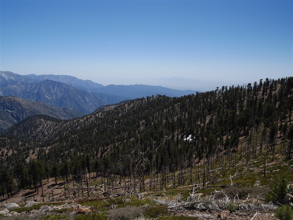
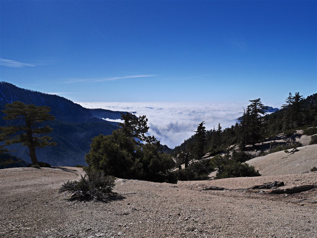
View toward Copter Ridge from the Pacific Crest Trail.
While hiking along the Pacific Crest Trail, I became pre-occupied with a ridge running down east from Mt. Hawkins. It looked like something I’d really enjoy walking on and the potential for interesting views was calling me to traverse it. From several vantage points high above the ridge, I could see that it split off into two directions both leading to a flat area that could make a nice stopping point. I also saw that the top of the ridge looked pretty wide and something reasonable for me to attempt to hike. Although not named on the Harrison Map I use, it is named Copter Ridge on the 2013 US Forest Map.1 Upon reaching Mt. Hawkins, I decided to head down Copter Ridge prepared to turn back if it was more difficult than it appeared.

View looking down Copter Ridge near Mt. Hawkins.
The way down this eastern running ridge begins with a mix of fallen trees that were clearly burned in a past fire (perhaps the Curve Fire of 2002) as the terrain following the ridge down from Mt. Hawkins initially resembles the burn areas of its western face. Fortunately, the way over and around these fallen trees isn’t too difficult and doesn’t last that long. Periodically the presence of a faint trail emerges and then disappears only to re-emerge further down the ridge.

One of several flat areas of Copter Ridge.
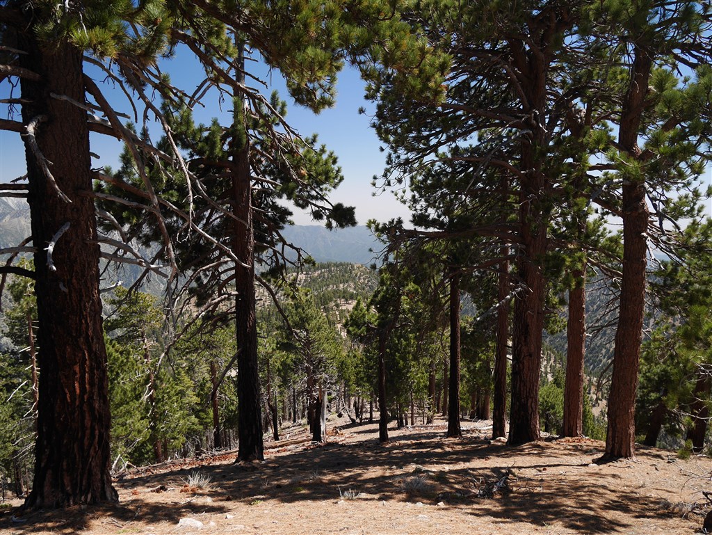
After making it through the old burn area, the way becomes shaded and initially less steep. The ridge becomes densely wooded yielding a plethora of spots to stop in the shade and openings through the trees provide diverse magnificent views from each small bump or subtle change in direction. At times, the ridge becomes relatively flat and wide before becoming steep.
View down one of the steepest parts of Copter Ridge before reaching the last significant bump.
At the bottom of the steep part , the ridge flattens again and then gently gains and loses altitude until it reaches a relative high point that forms the last significant bump on the ridge before it heads down toward the San Gabriel River. Along this stretch, the remnants of a past trail are in better shape. The trail appears to continue past the last bump, but I didn’t have time to continue on. The bump is a good stopping place and I enjoyed staying there while I ate my lunch. The views from this spot were refreshingly new for me.
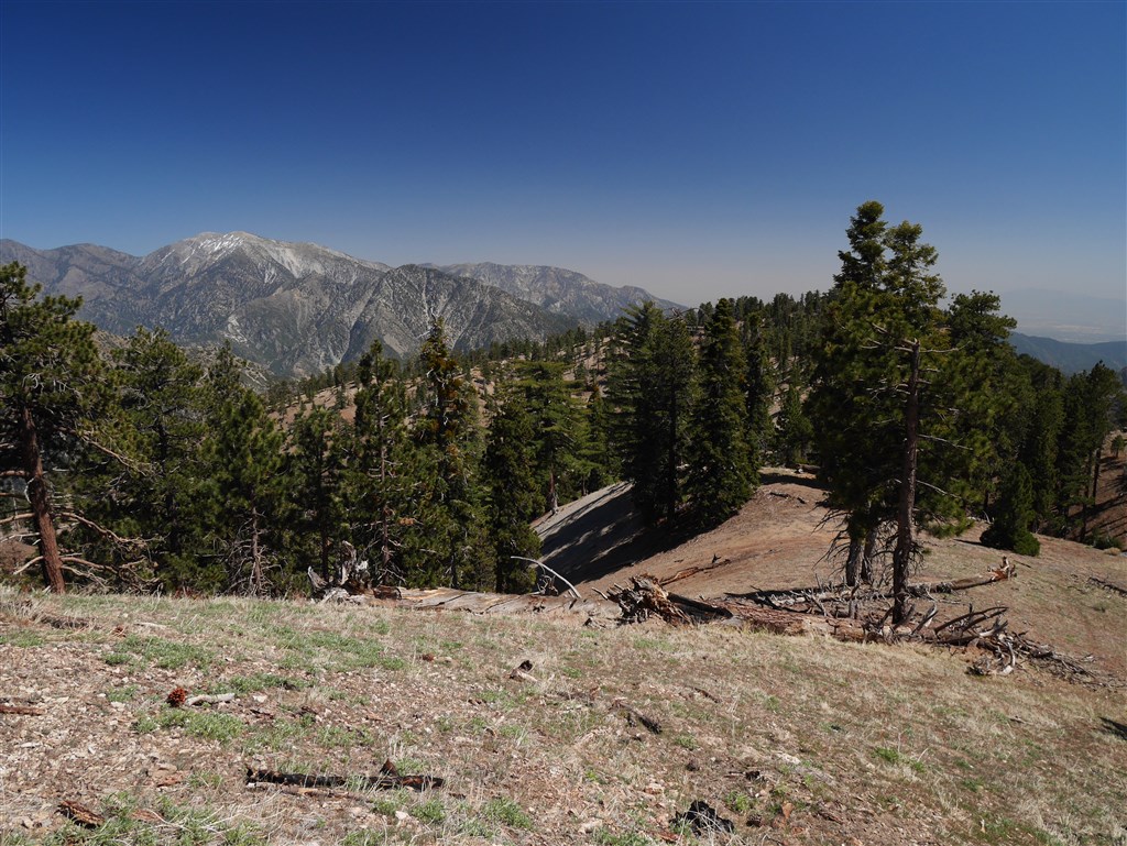
View toward Mt. Baldy and the last significant bump on Copter Ridge.
On my way back up the ridge, I made a slight adjustment to my path so I could see the point where Copter Ridge splits into two. It turned out that I had taken the southern path because I followed what looked like a trail around the bump that formed the fork where I could have made it a choice. This other ridge also looks enjoyable and reasonable to traverse. I now intend to someday both hike past the last bump on Copter Ridge and to traverse this other ridge that leads to what looks like a very interesting spot just below Ross Mountain. The views back up the ridge provided me with many perspectives of peaks I’ve been on and peaks (like Ross Mountain) that I want to get to at some point in the future. This turned out to be a great ridge to hike and I look forward to hiking it again sometime soon.

View looking up toward Mt. Hawkins (L) and Throop Peak (R) from Copter Ridge just below the last significant bump.
Notes:
- I now use the Backcountry Navigator Application to track my hikes.The included 2013 US Forest Map is excellent and only one of several options.You can view the track for this hike on my 2015 Hikes Page. Just scroll down to hike #028. ↩