Valley Bob’s Driving School and I have started teaching my teenage daughter how to drive–one among many causes of the reduced frequency of my posts lately. In California, teenagers (under 18) need to drive for six months with a learner’s permit and adult driver before they can take the test to get a driver’s license. Not wanting to spend our time driving exclusively in LA traffic (we will do plenty of that too), I devised a plan where we would also go on long drives together to interesting places and car camp for the night, hike the next day, and then drive home. Sure, that isn’t the most direct way to get her up to speed to pass her driving test, but we’ve got six months to do the appropriate work driving in LA to get ready for that. I openly admit that I’m channeling her enthusiasm for driving into an opportunity for a prodigious amount of father-daughter bonding time and hopefully lots of wonderful memories a year before she goes off to college.

Little Lakes Valley (photo by my son the week before his second year in college).
I looked for places within a six or seven hour drive from my house since we would only be staying one night at time. The other key factor was having an amazing landscape to walk through that wasn’t too strenuous an endeavor. The places I’ve chosen are:
Sequoia (Upper Stoney Creek Campground), most likely Giant Forest and Moro Rock.
Little Lakes Valley (one of many first come, first serve campgrounds). I went here with my son in 2009 and the hike is fantastic over seven miles with very little gain. Other opportunities for a shorter hike on the first day exists close by.
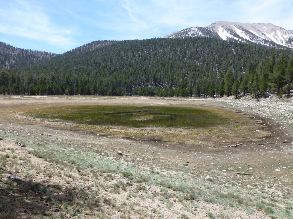
Cottonwood Lakes (if we can get one of the first come first serve campgrounds, otherwise we will just keep heading north until we get a spot).
Big Pine Creek Campground (Also in the Sierras. Hopefully we will make it to Fifth Lake with a view of Palisade Glacier).
Ancient Bristlecone Pine Forest (hopefully going during the week will make it easy to get a first come first serve spot at Grandview Campground).

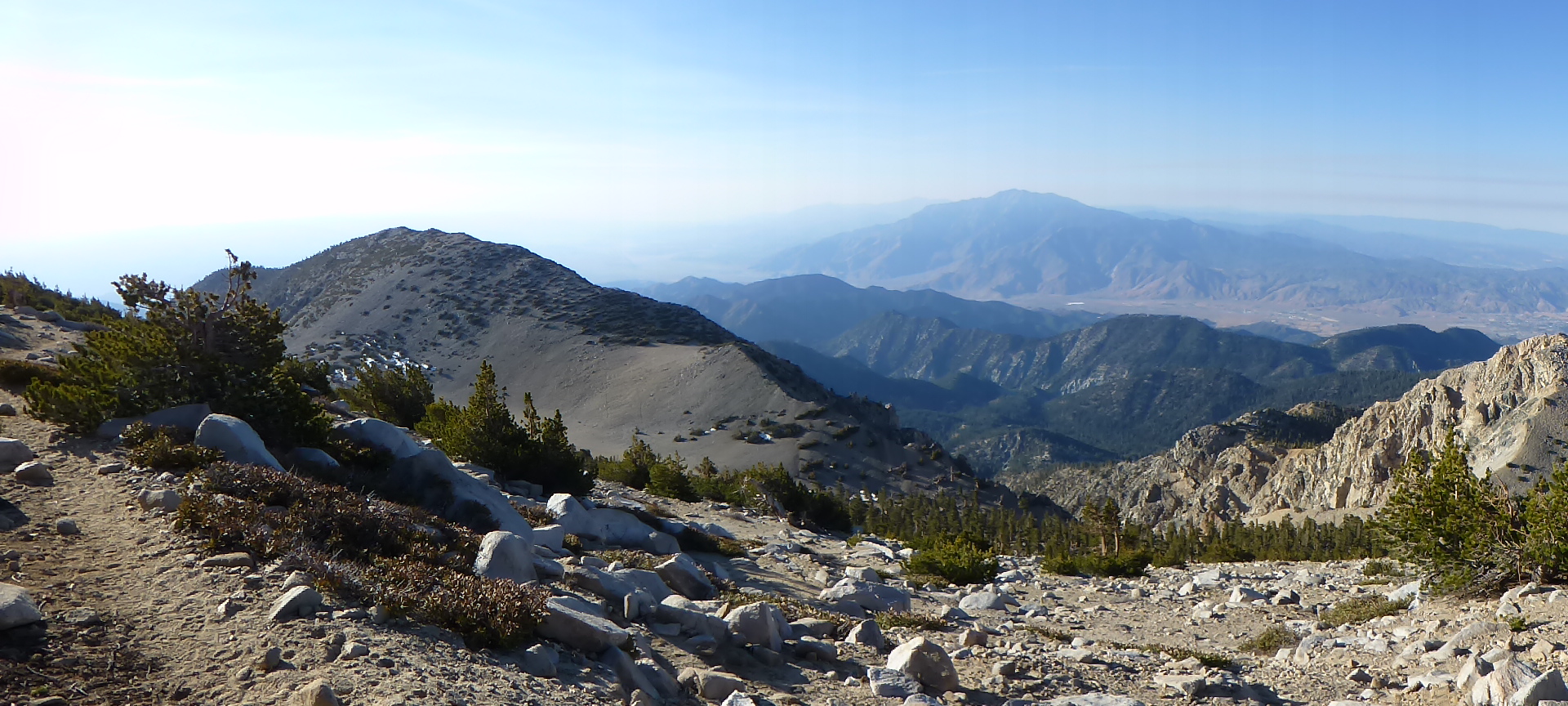
View from Mt. Whitney
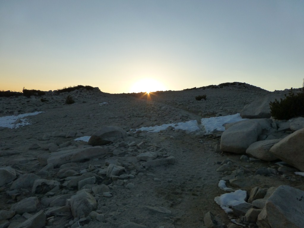
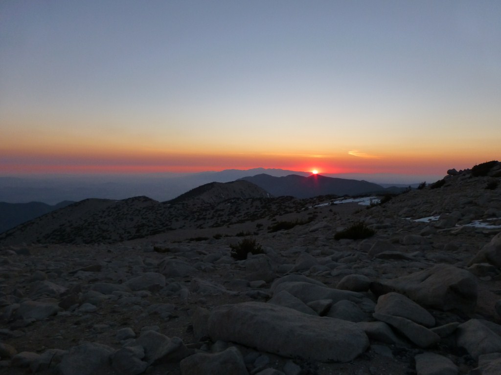
I will also be training to hike to Mt. Whitney with my wife and some friends. We have two overnight backpacking training trips left as well as several modestly strenuous day hikes.
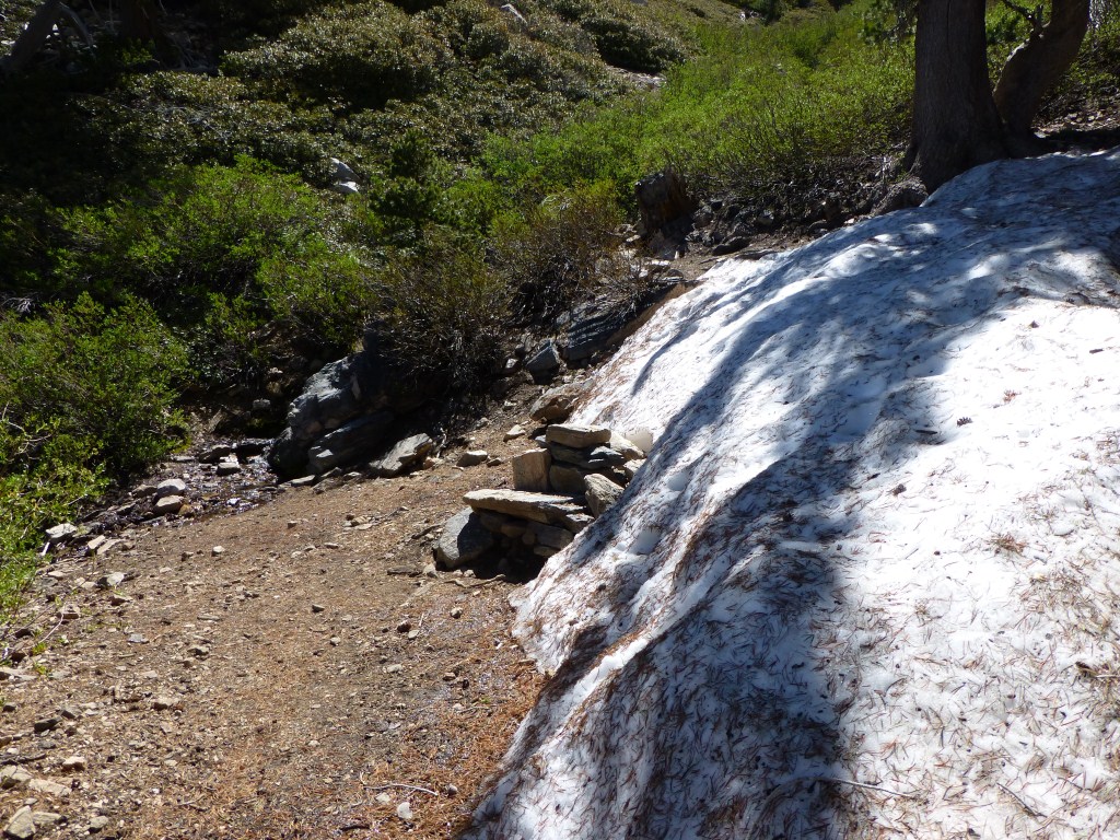
Mt. Baldy Loop: We will hike up to Mt. Baldy via the Baldy Bowl Trail and down to Baldy Notch via the Devil’s Backbone Trail. From there we will stop into the restaurant and decide whether to take the ski lift down or walk to Manker Flats via the access road.
Backpacking trip to Mt. San Jacinto: Day one, Deer Springs Trail / Pacific Crest Trail to Little Round Valley. Day two, Little Round Valley to Mt. San Jacinto, Wellman Divide Trail, Pacific Crest Trail, Devil’s Slide Trail to Humber Park.
Cucamonga Peak from Icehouse Saddle
Shuttle hike from Vincent Gap to Mt. Baden-Powell, Mt. Burnham, Throop Peak, Mt. Hawkins, Mt. Islip and ending at Islip Saddle.
Backpacking Trip to the Sierra’s (TBD, as I also need to coordinate meeting up with a friend in Sequoia for part of his week long stay in lieu of a traditional bachelor party).
Three T’s Shuttle Hike (starting from Icehouse Canyon and continuing from Thunder Mountain to Baldy Notch and taking the ski lift down).
Old Mt. Baldy Shuttle Hike (Visitor’s center to Mt. Baldy, down Devil’s Backbone to Baldy Notch, meal at the restaurant, ski lift down).
Mt. Whitney Backpacking Trip (One day at Whitney Portal, one day at Trail Camp, and possibly one day at Lone Pine Lake depending on how we feel after we summit).
So, recently I’ve been pretty busy planning and getting ready to do all that. I’m not sure yet how this level of activity (especially all the overnights) will impact my blogging. I will be doing some kind of post at least weekly and return to my normal pattern sometime in August.