My favorite hike in Angeles National Forest last month was along the San Gabriel River to the Bridge To Nowhere. In the past I hadn’t hiked this trail mostly because it wasn’t strenuous enough for the training I was doing to get ready for various trips I had planned (e.g. Mt. Whitney twice, The Grand Canyon rim to rim and back, and last year’s injury postponed High Sierra Trail). This year I’m focused more on recovery and preventing myself from getting reinjured. Although I will go on a number of trips this year, they will be planned only a few weeks in advance and will be tied to where I’m at in my recovery. Unless I get under a certain weight, my trips will be limited to the car camping variety so I can keep pack weight down.

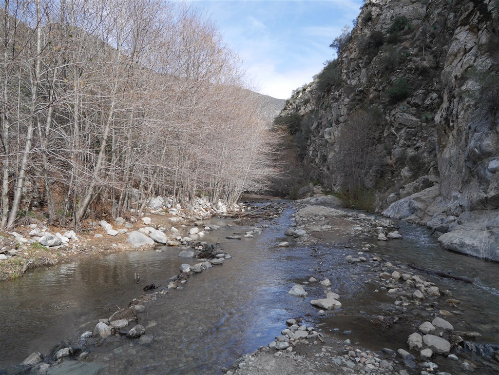
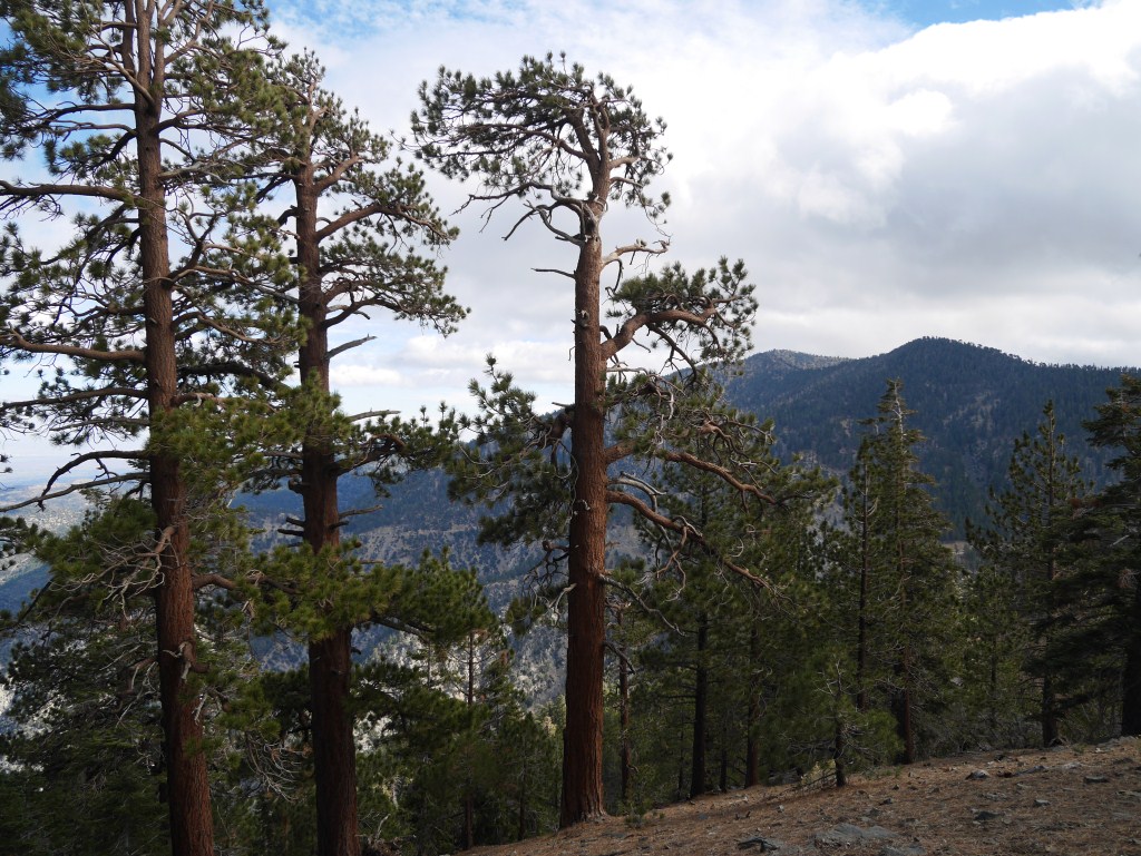
San Gabriel River in Lower San Gabriel Canyon
So, a hike along a river with not very much elevation gain sounded like a good choice for my first hike of the year covering over ten miles, and it was. San Gabriel Canyon’s combination of relatively flat terrain along the river, with a comparatively wider width, and the highest enclosing walls of any canyon in Angeles National Forest make it a unique landscape to walk through here. I still need to get between the Narrows and Vincent Gulch to view the highest walls (at the base between Mt. Baden-Powell and Mt. Baldy). The result is a kind of grand enclosed openness with dramatic long views.

One of the long views down river.
The San Gabriel River flows with more volume here. Several canyons and gulches drain into it bringing water down from some of the highest peaks in the forest. River crossings here mean your feet are going to get wet. Even with this extreme drought California is enduring, I found myself almost knee deep in water a few times and over ankle deep several times as I waded through the numerous crossings mandated by the flow of the river hitting alternating side walls of the canyon. Clearly, it’s a good idea to pay attention to any storms and consider the amount of precipitation released to know what level of water to expect.
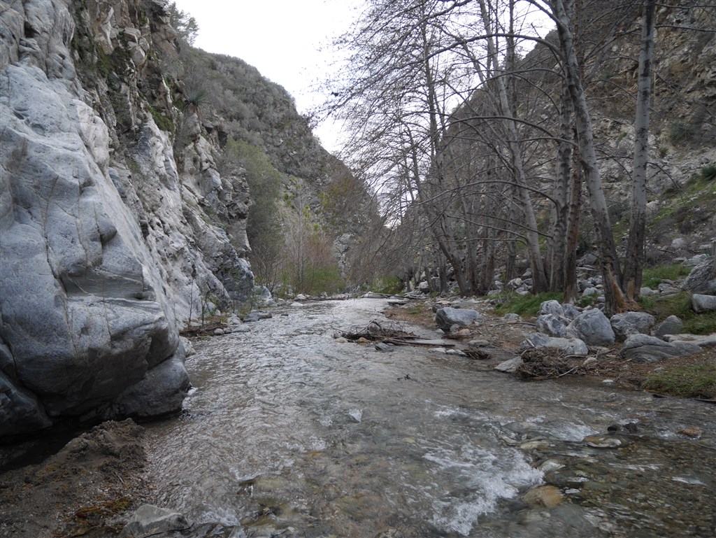
One of the many steam crossings required due to the river flowing into one of the canyon walls.
As the river meanders or straightens out to follow it’s easiest path down toward East Fork, as the grade changes to alter the speed or it’s movement, and as the river channel itself widens and contracts; a variety of diverse places emerge. In some places the canyon is wide enough for the river to be less dominant. This makes a continually changing landscape which I found invigorating to traverse.

An oak tree in the foreground on the continually changing path along the river.
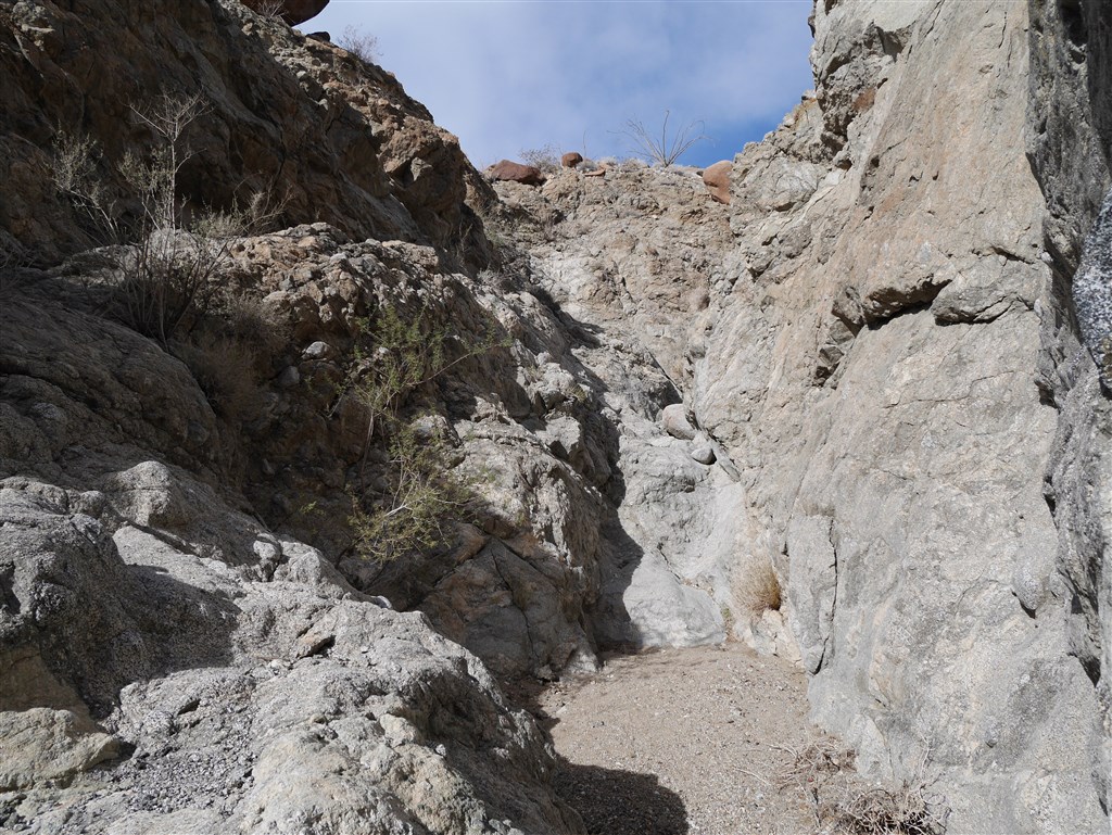
The Bridge to Nowhere is located on private property that is technically not part of Angeles National Forest. There’s a sign informing visitors of a handful of reasonable rules for entry. In the past, when I’ve talked to people about this hike, their focus tended to be on the bridge and the bungee jumping opportunities that exist there. While this is a truly unique opportunity within the forest, I found reaching the bridge a little anti-climatic. Perhaps it’s because I have no interest in bungee jumping. I found the bridge to be mostly a good stopping point and a nice place to have lunch before turning back. While there, I contemplated how happy I was that the bridge doesn’t connect to any roadways. I found the river and canyon so unique for this forest that it would be a shame not to be able to walk through it as I had. Also, being there, I found that it really didn’t bother me that a commercial bungee jumping enterprise was set up. Although the location is interesting as it leads into the Narrows, it is actually fairly intimate and doesn’t (visually at least) impact much around it making it a pretty well contained activity.
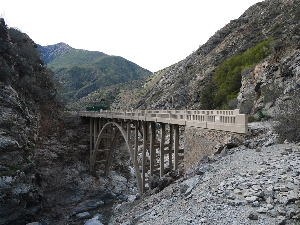
The Bridge To Nowhere
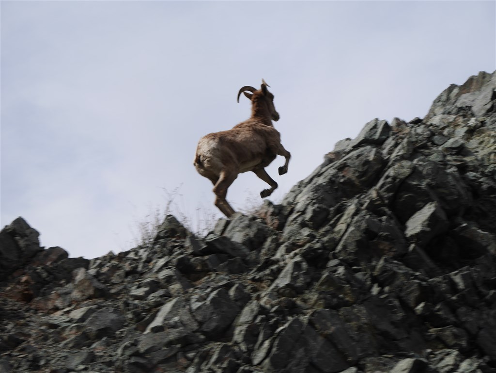
On my way back I experienced one of my all time favorite interactions with wildlife in the forest. A bighorn sheep appeared on the trail directly in front of me. We both stopped and looked at each other long enough for me to get my camera out and take a picture.

Bighorn on the trail in front of me.
Soon, the bighorn slowly walked toward me. I found this unexpected as I’m accustomed to animals moving away from me when they see me (or at least staying put). After crossing about a third of the gap between us he headed up the rocky outcrop on my right.

Bighorn veering off trail and heading up the rocky outcrop.
I assumed he had disappeared out of view for good only to hear his steps getting closer. I looked up and saw him looking down on me from about mid height of the outcrop (why did I put my lens cap back on my camera?). Fortunately, he gave me enough time to turn my camera back on, take my lens cover off, and snap a somewhat shaky photo of him moving away from me to higher ground.
Bighorn just above me as he moved around me by going to higher ground.
Learning from my mistake, I kept my camera out and was ready when he came down from the outcrop and began his journey up a ridge. The whole time, all I did was stay in the same spot and rotate myself to face him. He slowly made it up the ridge looking back toward me only on occasion. Soon he was far enough away that he blended into the landscape and was only visible when he moved. I found it impressive how well he blended into the landscape. That made me wonder how many bighorns I might have walked by over the years and not noticed.

Bighorn just after coming down from the rocky outcrop and heading up the ridge.
This was definitely the highlight of my hike. Part of what made this experience great for me is that the time it took for the bighorn to make it around me felt like he moved with awareness but no fear. It felt like my presence in his home wasn’t that annoying. While I don’t imagine having another exchange like this, the river will be a guaranteed highlight for me anytime I return. I’ll be back often.