
Among the things I’m working on improving for 2015 is to better communicate what pages get added and updated on this blog/website due to the fact that I publish far more pages than posts. The blogging aspect is handled pretty well as every time I add a post, those that choose to follow the blog get alerted to that new content by their chosen source for following. However, when I add a page or update a page (the more website nature of this endeavor), there’s no automatic way to inform people. So, I’ve decided to write a monthly post that outlines what pages are new or updated to make it easier for returning readers to find what is more recent. What follows is the my first “New Additions” monthly post.
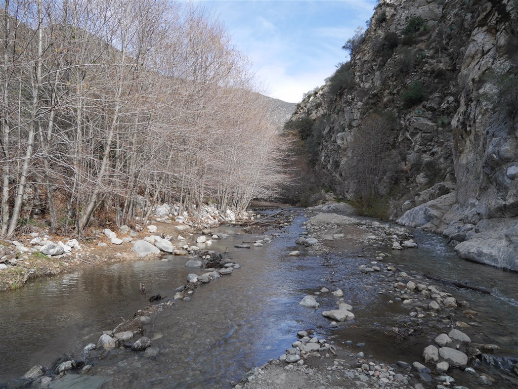
Hiking up San Gabriel Canyon, following the San Gabriel River to the Bridge to Nowhere, and seeing a bighorn was my favorite Angeles Forest hike this month–#6 of the year.
Clicking on links below will open the page in a new tab so that it will be easier to follow links on those pages and still get back to this one.
Hiking Journal
- New journal started for 2015 and accessed from the 2015 Hikes tab. New in 2015 is a map included with each hike described. I went on eight hikes in January.
New Peaks:
- ABDSP Peak 2152: Elevation 2152′–Anza Borrego Desert State Park. (Note: this peak is unofficial but a great extension to the Rock Tanks Loop).
- Josephine Peak: Elevation 5558′–Angeles National Forest
Updated Peaks:
New hikes with step by step instructions:
- Red Box to Strawberry Peak: 7 miles, 1845′ gain and loss.
- Red Box to Strawberry Meadow: 9 miles, 1500′ gain and loss.
- Colby Canyon Trail to Josephine Saddle, 4.4 miles, 1400′ gain and loss.
- Colby Canyon Trail to Josephine Peak, 8.4 miles, 2150′ gain and loss.
- Bridge to Nowhere via Lower San Gabriel Canyon: 10.2 miles, 1200′ gain and loss.
New trailhead pages
Updated trailhead pages
New trail segment information pages:
- Trail segments from trails accessed from Red Box Trailhead
- Trail segments from trails accessed from Colby Canyon Trailhead
- Trail segments from trails accessed from East Fork Trailhead
New trail photo galleries:
- Trail photos from trails accessed from Red Box Trailhead
- Trail photos from trails accessed from Colby Canyon Trailhead
- Trail photos from trails accessed from East Fork Trailhead
New points of interest pages:
New Photo galleries for areas outside Angeles National Forest:
- Trip 1: Lower Willows (See Afoot & Afield:SD, Chapter 26):
- Lower Willows Trail
- Palm Grove within Santa Catarina Spring area (not described in Afoot & Afield:SD, but a short, obvious, and worthwhile extension to this trip. The palms are seen clearly from the end of the Lower Willows Trail. From there, a narrow break in the vegetation leads to the palms)
- Road into Coyote Canyon between 2nd and 3rd stream crossings
- Santa Catarina Spring Monument area
- Valley Road back to 3rd stream crossing
- Trip 5: Rock Tanks Loop (see Afoot & Afield: SD, Chapter 29):
- Other areas from my trip to the Anza-Borrego Desert
New book reference page:

Great idea! If I ever get to spend time in southern California again, I’ll know just where to go to find Info on a fun hike. Thanks!
LikeLike