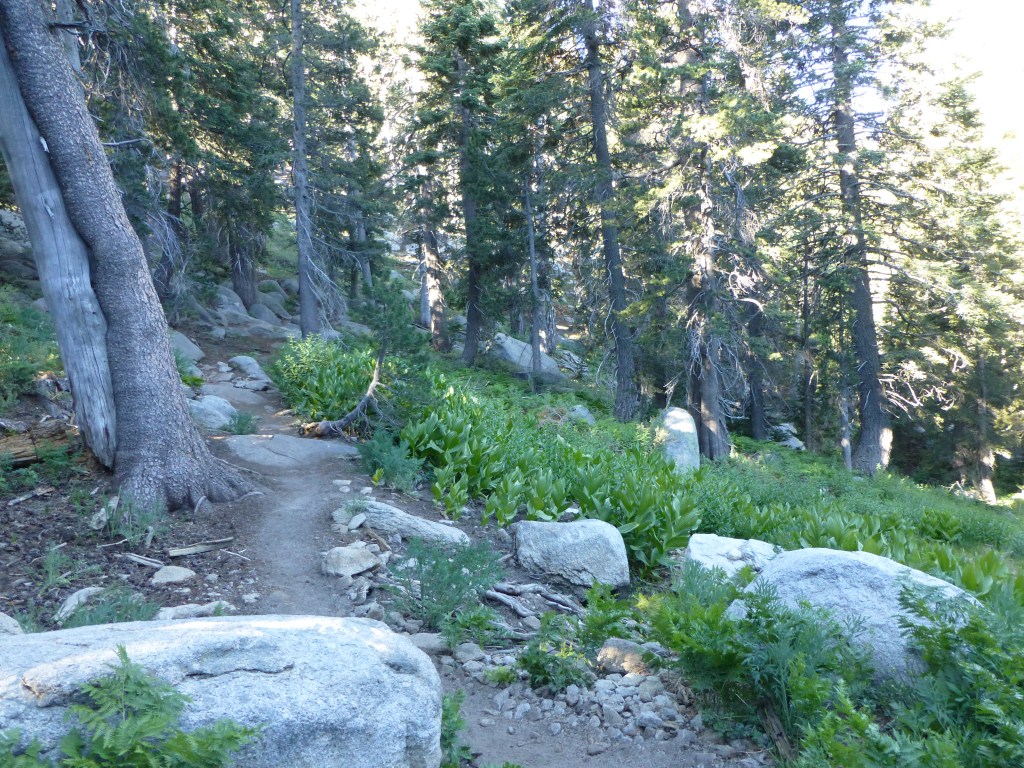
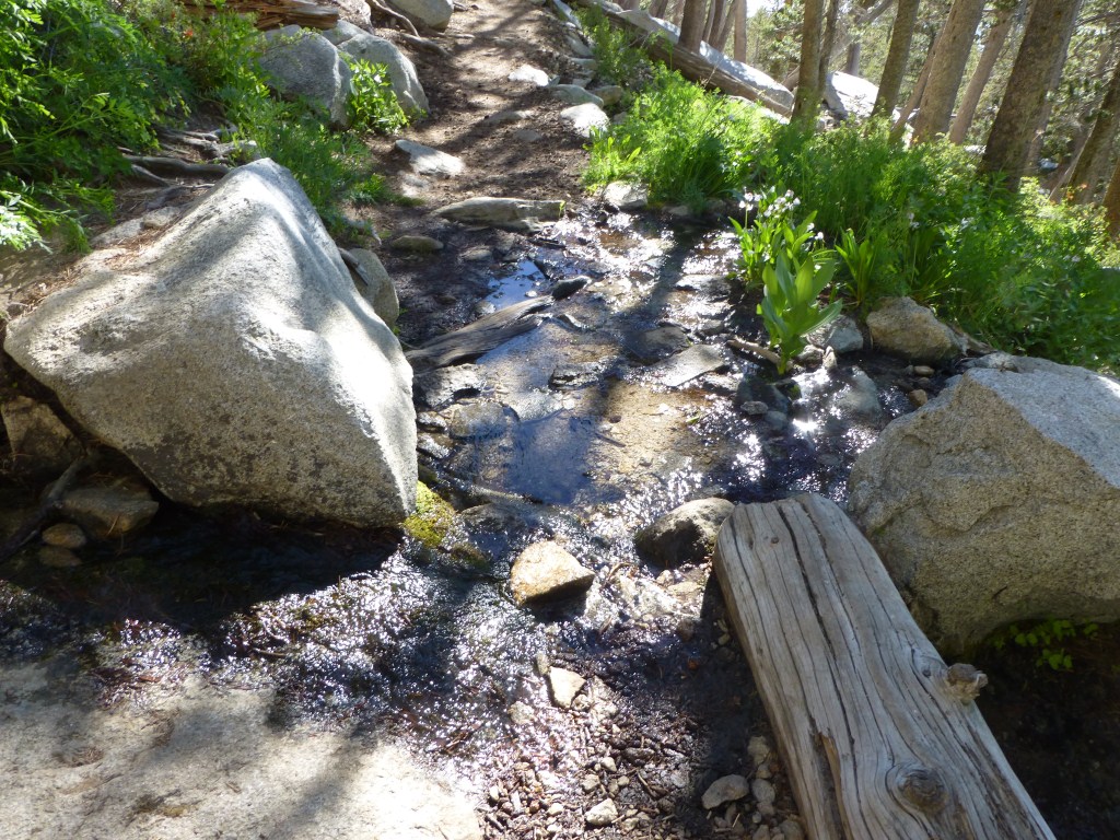
For a couple months leading up to summiting Mt. Whitney with my wife and a couple of our good friends, my knees started hurting. It was a different kind of pain than I’ve experienced in the past. My knees felt normal when hiking or playing tennis but hurt to the touch when I wasn’t active. Early on, the pain would go away after a day or two of inactivity. However, by the time I left for Mt. Whitney the pain wasn’t going away, but I still only felt pain when I touched my knees. So, I decided not to cancel my trip, which I had trained for since January, and had a fantastic time without feeling pain while hiking until passing Mirror Lake on the way down. At the time I didn’t think much of it. I was actually less sore than I was on last year’s trip.

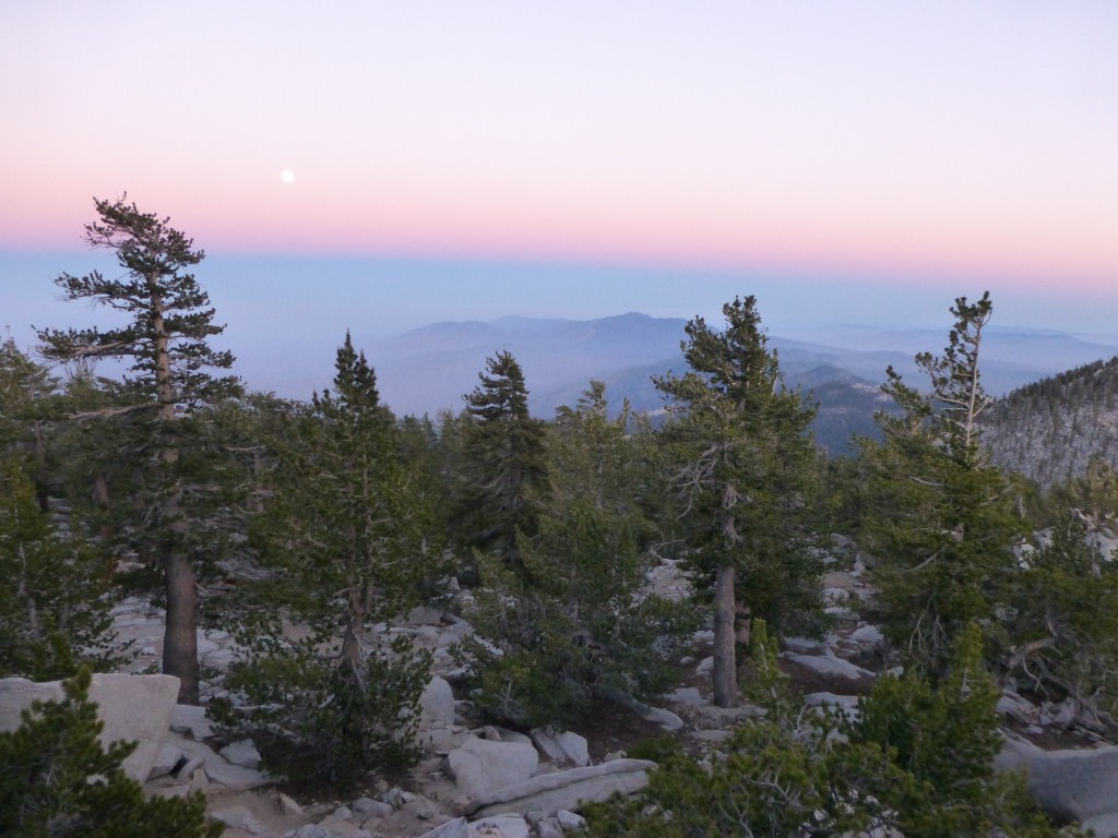
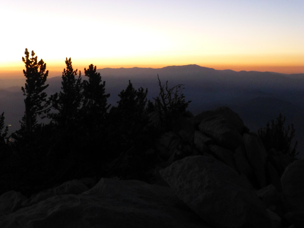
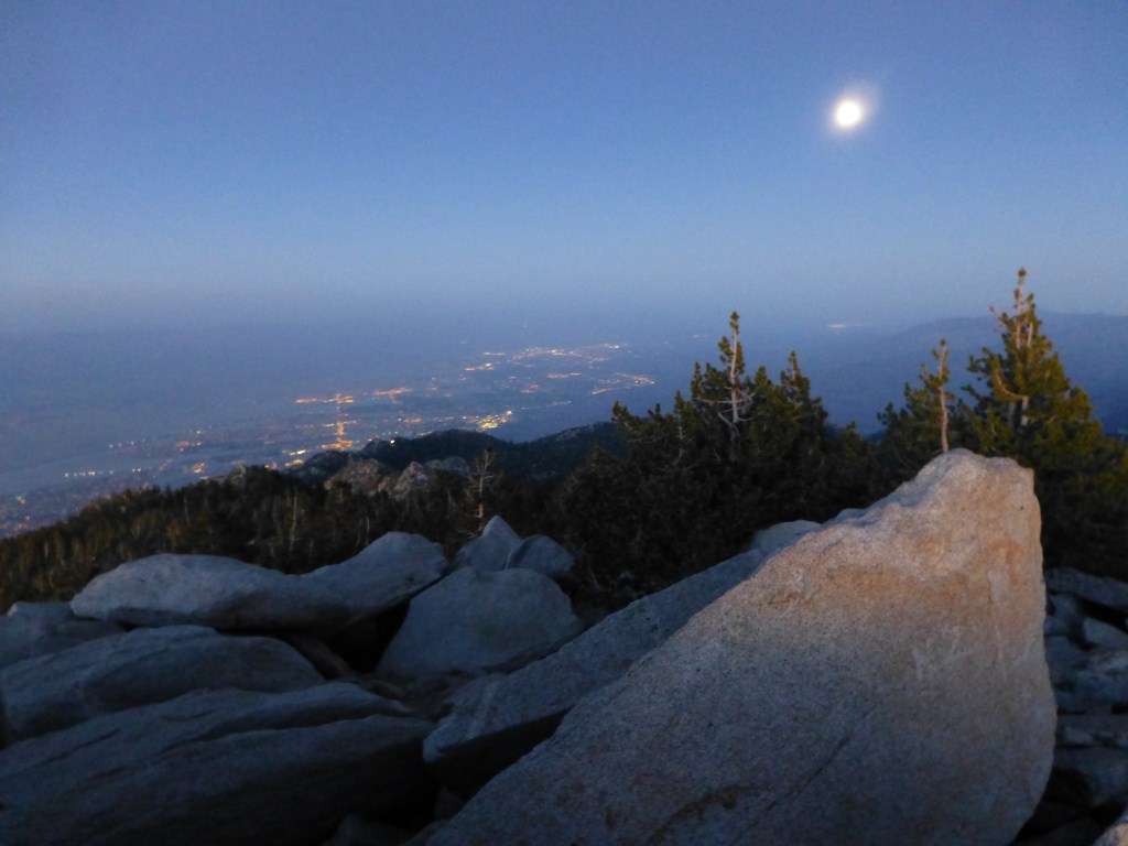
View east from Mt. Whitney on August 1, 2011. The haze in the Owens Valley is from smoke from fires further north.
After cooling down from the hike, the pain I experienced to the touch was more intense than I had felt before and I was even feeling pain when not touching my knees. By the time I woke up the next morning the pain was pretty intense no matter what I did and I knew I would need to find out what was going on and commit to whatever downtime was required to heal properly. It turns out I have Iliotibial Band Syndrome which is a common injury related to overuse. This surprised me a little because I hiked significantly less mileage and gain leading up to this year’s trip than I did for last years. After thinking about it a long time, I realized the key difference was I did significantly more hiking with a fully loaded backpack pack on consecutive days this year than last year which resulted in less rest days between weekly trips. Fortunately, surgery isn’t required, but the amount of downtime needed to heal is significantly more than I hoped it would be.
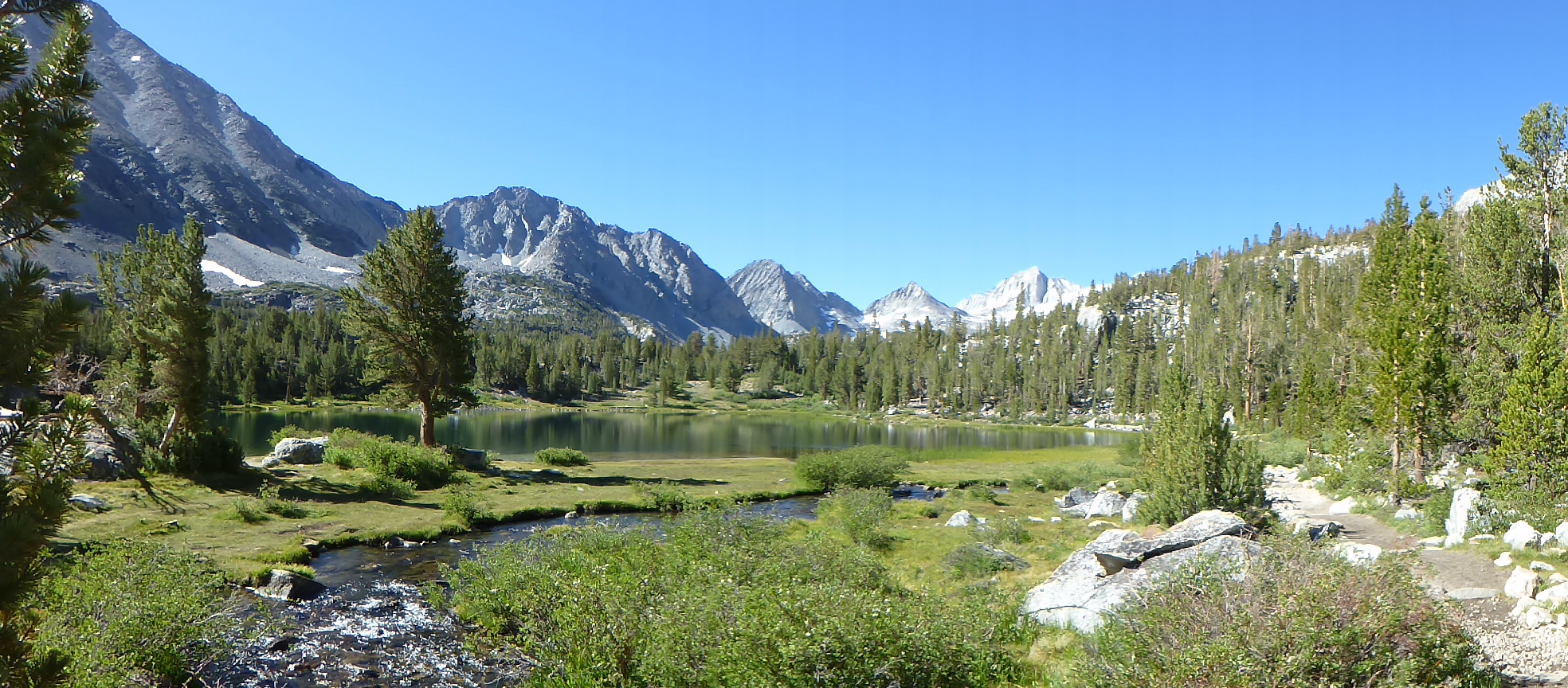
View from Little Lakes Valley. This was the last trip Sarah and I were able to do for our father-daughter bonding/teaching her to drive undertaking. My injury and a couple other things earlier (including our car breaking down) made us change our plans. One thing we learned was not to wear black leggings in area with Mosquitoes. Sarah was bit mercilessly through her black leggings but hardly at all on her exposed skin. I later searched on the internet and verified that black attracts mosquitoes. (click to enlarge).
When I realized I was probably a couple months away from hiking again, my enthusiasm for blogging disappeared. In fact, so did any desire to read about what others were doing because it only made me miss the trails more. I’m feeling a lot better now and expect to be on the trails again by the end of this month at the latest. By then I will be blogging regularly again. Until then, if I post anything, it will be about hikes I’ve done earlier in the year or updates to galleries etc.
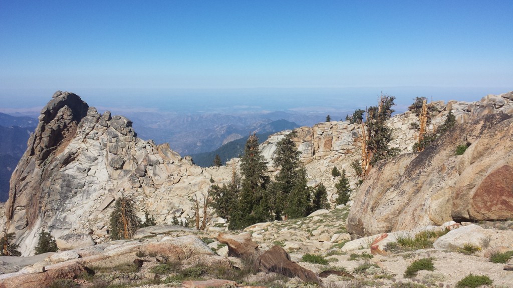
View on the way to Alta Peak from our last overnight training hike prior to going to Mt. Whitney.