Hikes with significant elevation gain guarantee a diversity of landscape to trek through. Obviously this is due to the micro-climates created largely by the difference in altitude that one moves through on the way to the high point of the journey. While the amount and character of the diversity is clearly tied to numerous other factors, meaningful differences are assured. Having taken several Environmental Science courses in college, none of that surprised me. I find experiencing this diversity to be wonderful and the specific details naturally have unforeseen aspects to them. Of course, prior to beginning my weekly hikes in 2011, I wasn’t aware of the what was in Angeles Forest, or things like how high the mountains reach–which is why I started this blog. However, the overall idea wasn’t new for me. The first time I planned a hike with over 2,000 feet of gain, I new I would see diversity.
Unexpected for me was my personal discovery (countless others have known this long ago) that at certain times these differences being so close together become more magnified than seen on a typical day. Weather , for example, will impact these areas differently creating interesting edge conditions and small areas of dramatic difference that can be experienced on a day hike. I first came to this understanding unintentionally on a hike from the Cobb Estate to Mt. Lowe in February 2011.
Starting at the Cobb Estate, the ground was dry and it was a little cloudy. The clouds were pretty high though and while hiking up the Lower Sam Merrill Trail it was easy to see Downtown Los Angeles and the ocean off in the distance. The weather report showed zero percent chance of rain, and the clouds high above the mountain didn’t appear threatening or reachable. At Echo Mountain (about 1400′ of gain up from the Cobb Estate), Inspiration Point–another 1300′ in elevation was visible. This was pretty typical so far and I didn’t take any pictures. At Inspiration Point, the view out was still great, but the view up Mt. Lowe was blocked by clouds. Before making it to the summit, I found myself in snow, literally in the clouds, and feeling an ultra light mist.

At the Summit, I thought about how the mist felt like walking in fog along the ocean. However, walking up into the clouds and snow from the city below made the overall experience different. Less than 500 feet lower down the mountain, the city below was still in sunlight, the trail had no snow and one could see as far off as the ocean. While it did take hiking over 3,000 feet of gain to reach the clouds, the idea that they were reachable from below was exhilarating. Never before had such an obstructed view been so appealing to me.

Being in the clouds and not being able to see out naturally caused me to focus more on what was immediately around me. I saw many interesting things I hadn’t paid much attention to in the past because I was so blown away by the view outward. For example, I found the composition of some rocks and vegetation to be very beautiful standing out against the grey background.

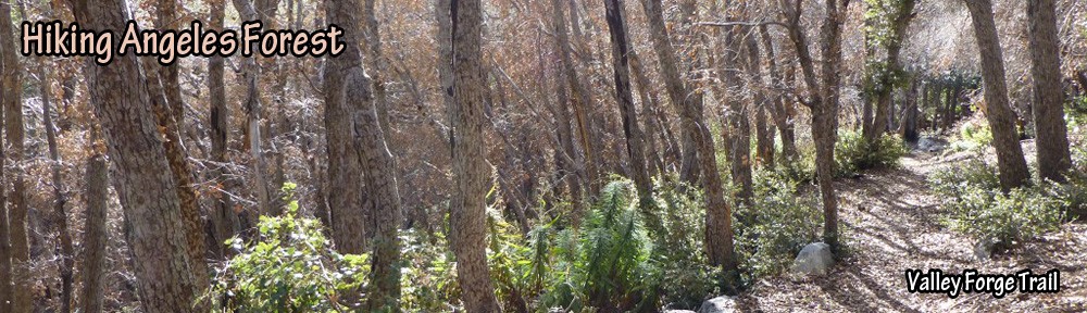
That experience taught me to pay more attention to what I’m trekking through on future hikes and to stop more often and take some pictures of interesting details along the way. On a later hike, I searched out the same composition and photographed it with the view of Mt. Wilson in the background.

On the way down the mountain along the East Mt. Lowe Trail, the clouds were significantly lower. The mist started to feel a little stronger and I started to wonder if it was going to rain and if the sun was still shinning down on the city below.

At about 1000 feet lower than the clouds were on my ascent, I broke through them along the Middle Sam Merrill Trail. It took about 5 minutes to move through the edge condition between being in the clouds and not. After walking through the cloudy grey for hours, I now had a view of both the grey fuzzy edge of those clouds and out to the sunlit mountainside across the canyon.

As I made my way downward, the shadowy view of Echo Mountain emerged with the sunlit view of the city beyond. As I stood and took in that view, I’d look back up the mountain to see the view of the mountain top blocked by the clouds. Then I’d look out and see that the cloud cover went out into the distance about as far as Downtown Los Angeles. The light was making it to the lower part of these mountains due to the low angle of the sun.. The cloud cover then felt like nature’s grand cantilevered roof jutting out from the mountain top.

On another hike in early March 2011 up the Mt. Lowe Railway Trail, I found patches of snow on the trail and Mt. Lowe in view below the clouds.

By the time I made it to the north side of Mt. Lowe along the Upper Sam Merrill Trail, I was ankle deep in snow and close to the clouds. Markham Saddle was still visible, but San Gabriel Peak and Mt. Markham were in the clouds. At that point, I knew Mt. Lowe would be in the clouds too.

In late March 2011 on a hike on the Sam Merrill Trail to Inspiration Point, the clouds were low and not much higher than Echo Mountain.

Uniquely, the most interesting view for me that day was of Inspiration Point through the cloud mist instead of out from it to the city below.

In April 2011, I again hiked up to Mt. Lowe via the Sam Merrill Trail. Along the upper Sam Merrill Trail, I got interested in how the clouds helped emphasize depth and made some tree branches look further away than they do in sunlight.

This time after I made my way back down below the clouds I looked up to see the sun shine through the clouds. The thin layer of clouds blocking a direct view of the sun and muting it’s light made the sun easier to see as a light bulb is when viewed through a lamp shade. Not wanting to hurt my eyes by staring at it, I looked at it through my camera lens and took many pictures like the one below that look a little like an abstract painting.

I found the color of the sunset when viewed after so many hours in the grey of the clouds to be even more beautiful–especially as the darkness of the clouds were also in view.

Seeing the sun descending through the clouds and it’s light now able to shine directly onto the landscape I was hiking on caused me to spend more time contemplating my own experience being able to see out into the distance once I had descended through the clouds. I stopped for a while to enjoy the moment.

I was almost down the mountain when the sun was setting behind the mountains beyond. Even when it was out of my sight for the day, the indirect light in the sky lit my way and allowed me to see further into the landscape than I was able to do while in the clouds during the afternoon. I found the juxtaposition of experiences while hiking during a single day to be wonderful.

On a hike along the San Gabriel Peak Trail to San Gabriel Peak in December 2011, I found myself above the clouds with a view I’ve only seen from an airplane. The opportunity to walk through them was there, I just didn’t have the time that day. Now that I know it’s possible, walking through the clouds is high on my list of experiences to seek out.

I now see the mountains and the clouds differently. When I’m in the city, I look up to see how high the clouds are up the mountain. Could there be an interesting opportunity to interact with them–walk into them, above them, or through them?