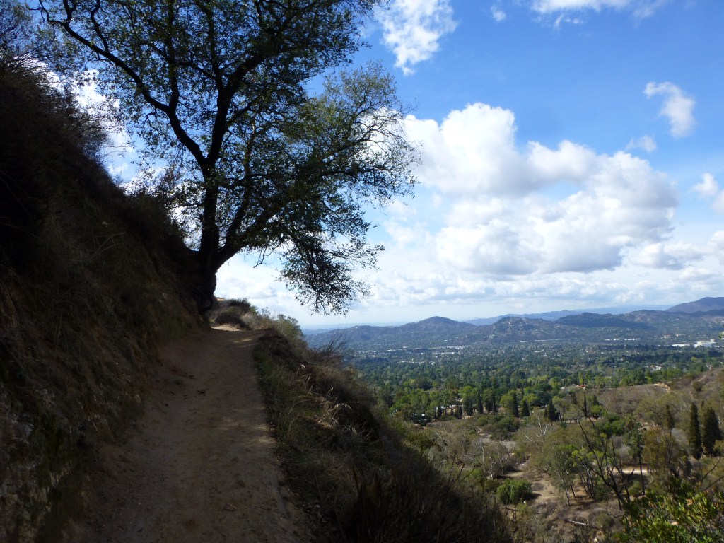
Last Tuesday night I was planning to do a solo backpacking trip in Angeles Forest for Wednesday through Thursday. However, my daughter asked me if there was an amazing place we could go car camping instead. Of course, there were constraints. She didn’t want to get up early on Wednesday and the hiking part on Thursday needed to be fairly short so we could be home in time for her to do something she previously scheduled. Naturally, I found somewhere for us to go.

Methuselah Walk, Ancient Bristlecone Pine Forest
Our car camping standards from last year were very high–Giant Forest in Sequoia, and Little Lakes Valley in the Eastern Sierras. She wanted something like that! I also needed something that I wouldn’t feel like we were missing out on the best parts of the hike due to needing to stop after a short distance. I settled on the Methuselah Walk in Schulman Grove of the Ancient Bristlecone Pine Forest.

Campsite, Grandview Campground.
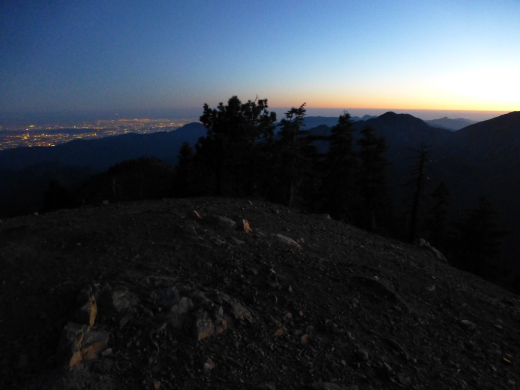
We found a great campsite in the aptly named and very photogenic Grandview Campground. It is known as a great place for star gazing and anyone who enjoys using a telescope would definitely have a great time there on a clear night–which we were lucky to experience. What I hadn’t read about was the close proximity of great viewing spots to hike up to a short distance (less than 1/10 mile) to from the campsites.
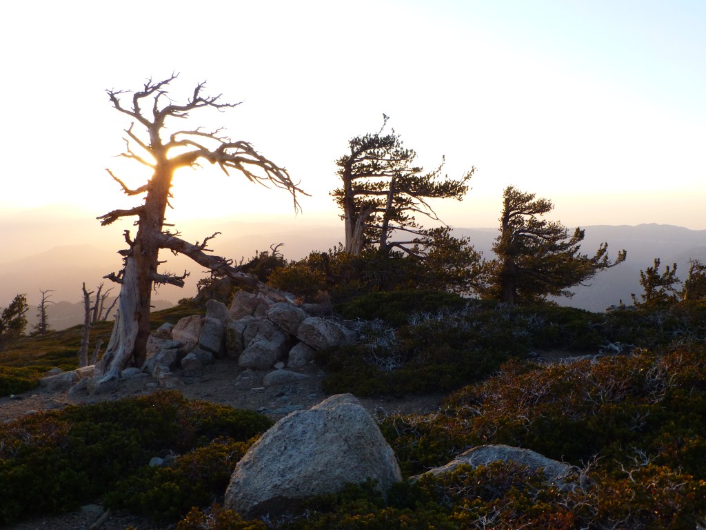
View toward the Eastern Sierras from Grandview Campground–a very short hike up from the campsites.
In addition to the great views, the terrain itself is interesting and the plethora of uniquely shaped trees generate a dynamism to the scenery. The campground itself is a worthwhile destination as it occupies such an engrossing landscape that is easily explored without much effort. I anticipate returning there many more times.

The trees have interesting individual characteristics as slightly different locations as well as obviously different age ranges generate uniquely sculptural forms.
The Methuselah walk exceeded my expectations in large part due to descriptions I’ve read by others who had been there and felt that it was a place that one should visit if one was already doing something else in the area. Supposedly very interesting, but not much to it. At 4 miles with only 800′ of gain, the largest hike isn’t very long or strenuous. As a result, my experience was like going to a movie and being pleasantly surprised because it was far better than the reviews suggested it would be.

Like a landscape of ancient architectural ruins, only most of the trees are still alive.
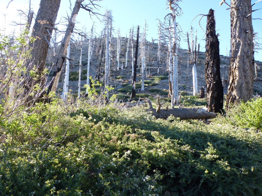
I think this forest has an obvious beauty to it as well as a subtlety that requires some personal reflection to begin to experience fully. For me, the landscape was simultaneously ancient and contemporary like no other I’ve experienced. Perhaps it was the knowledge that a large percentage of the trees were thousands of years old that made me feel that way. So many of the trees were around when places like Athens were being built that my mind wandered to thinking about architectural ruins. There were many spots along the trail that had some of the look of such ruins. Trees (like buildings) separated enough in the landscape to have an individual identity with nothing (or little) living between them. Some trees whose branches are currently largely devoid of needles but still possessing enough to give a sense of what they looked like when needles occupied most all of their branches. That there are also places in the forest where many of the trees still have most of their needles assisted in making these kinds of visualizations.

Trees whose branches are almost completely covered in needles provide an interesting contrast to those whose branches aren’t and deepen the palpable sense of age in the forest.
The presence of so many younger trees, so many trees of differing heights, thicknesses or some other feature (e.g. lack of needles) next to one another underscores the forests age and youth. This also conveys a key difference between ancient ruins and this living forest–the trees are still alive, growing, and reproducing. Their environment, though changing and evolving, is far more similar than the cultures of modern and ancient Greeks.

A “baby”, perhaps several tens of years old.
I had read that one of the living trees is over 5,000 years old. Trying to get my mind wrapped around the idea of something living that long, I started thinking about things I knew about in history. As a result a profound sense of timelessness emerged. In a way, I felt like I had gone back in time. I also knew that the landscape was meaningfully different 5,000 years ago. To a degree, the vast time period of life creates a forest texture which allows one to imagine the order each tree came into being relative to one another in close proximity.

Dramatic forest texture allows one to imagine the evolution of the forest to a significantly greater degree than other forests.
As much as the experience for me is about the trees and thinking about time, the views are also pretty spectacular and expansive.
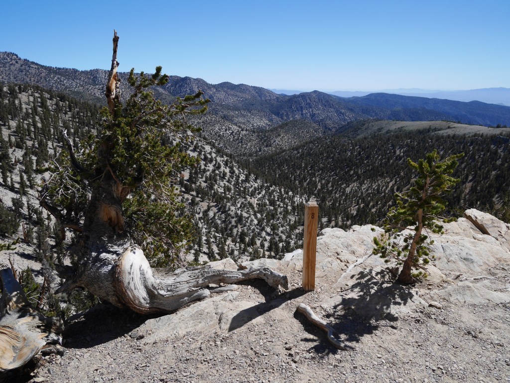
One of the many expansive views with an interesting juxtaposition of comparatively old and young trees. There are also 24 markers that go along with a self guided tour booklet available at the trailhead.
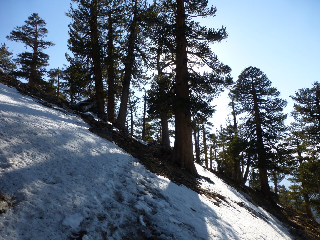
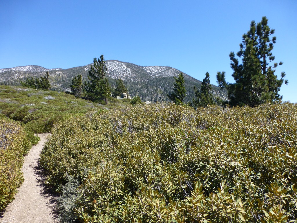
The trail has a variety of orientations which end up generating different enough micro-climates that the forest is meaningfully different although only changing in elevation by 800 feet. With views toward the Sierras and Death Valley, I found the experience was unexpectedly varied.

View toward Deer Springs Lake with the mountain ranges of Death Valley off in the distance in the second major sub-alpine zone of the trail where Sagebrush, Mountain Mahogany, Long-leaved Paintbrush, and Golden Forget-me-not grow.
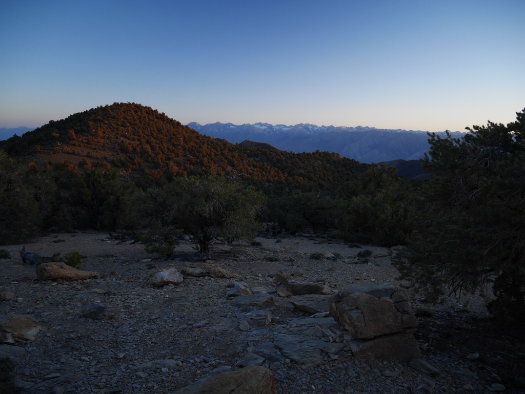
There’s a lot to this four mile hike. Is it worth an approximately 5 hour drive from Los Angeles to experience and return home without going anywhere else? I think so, and I’ll be back. Heck the drive up the mountain is pretty amazing as well. There’s even a nice lookout between Grandview Campground and Schulman Grove with a trail to a vista with an epic view of the Sierras.

View toward the Eastern Sierras from vista point