I started and ended May with great backpacking trips. In between was mostly about dealing with more injuries. Thankfully, this time it wasn’t my IT bands or knees. It was my feet that were giving me lots of problems which I attribute mostly to my shoes. It seams every time I find shoes that work for me the manufacturer stops making them. This time, finding a replacement pair was extra difficult and I’m still not excited about what I’ve ended up with.

View from the Pacific Crest Trail close to the Islip Saddle trailhead looking toward Mt. Williamson.
Normally I’d use a backpacking trip as an opportunity to push myself. However, this time I wanted to take it easy on my feet and take things slow. I really can’t afford another setback if I’m going to be ready to hike the High Sierra Trail at the end of July. So, the two day experience was far less strenuous than one of my typical day training hikes. I was joined by my friend Lorenzo who prefers to go a little slower and savor the experience anyway.

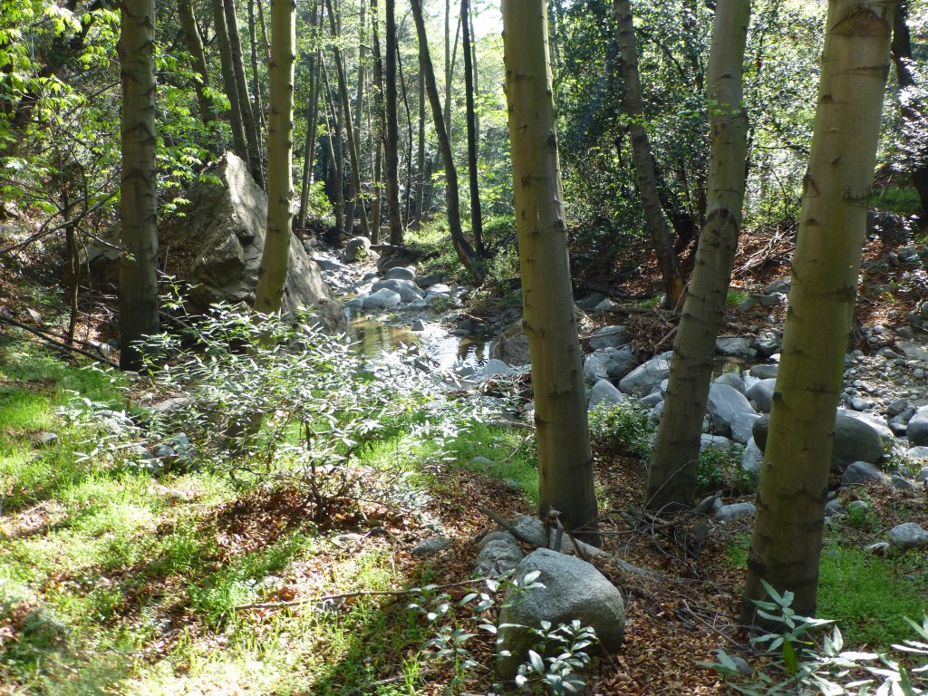
There’s easy access to water at Little Jimmy Springs and the water is still flowing nicely.
Spending the night at Little Jimmy Trail Camp was perfect because there are so many options to hike from there that I could easily alter plan as needed. Water is also close by at Little Jimmy Springs which serves to significantly reduce pack weight. Arriving at Little Jimmy in a mood to go slow, I was easily inspired to spend about 45 minutes following a deer around in lieu of hiking further up the trail as originally planned.
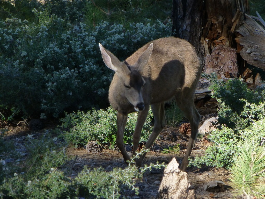
Deer at Little Jimmy Trail Camp.
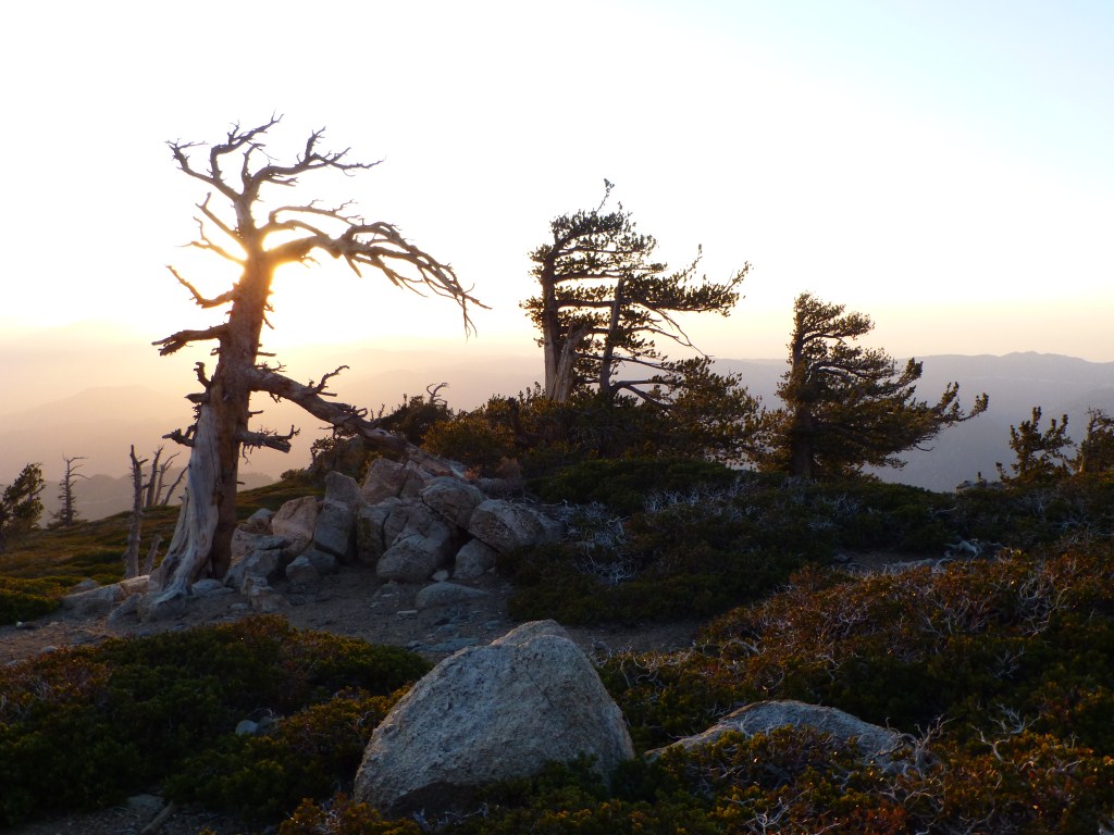
Lorenzo meet me a few hours later and we hiked up to Mt. Islip to enjoy watching the day turn into night. Windy and getting chilly on the peak, we ended up making dinner back down at Little Jimmy.
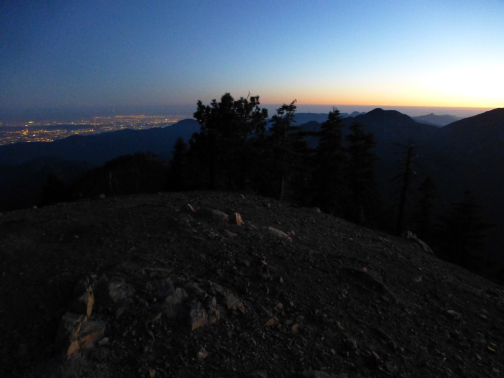
Dusk on Mt. Islip.
Early mornings are probably my favorite time on the mountain. Perhaps this is because I’m not a morning person and arriving at a trailhead from home early enough to experience an early morning beginning would leave me too tired to really enjoy it. On the other hand, waking up in a tent already a good distance up the mountain is something I find refreshing. Perhaps it’s the comparative rareness of my experiences that inspires me. Unlike home where I’m not always ready to get out of my comfortable bed, waking up in my tent in the forest is an exercise in anticipation. Depending on a bunch of factors, I find sleeping on a pad on the sloping forest floor to range between endurable and adequate in terms of comfort. I’ll wake up a few times overnight and I often look at it as paying my dues to earn the morning light. However, I somehow always wake up rested and ready for another day of hiking.

Early morning at Little Jimmy Trail Camp
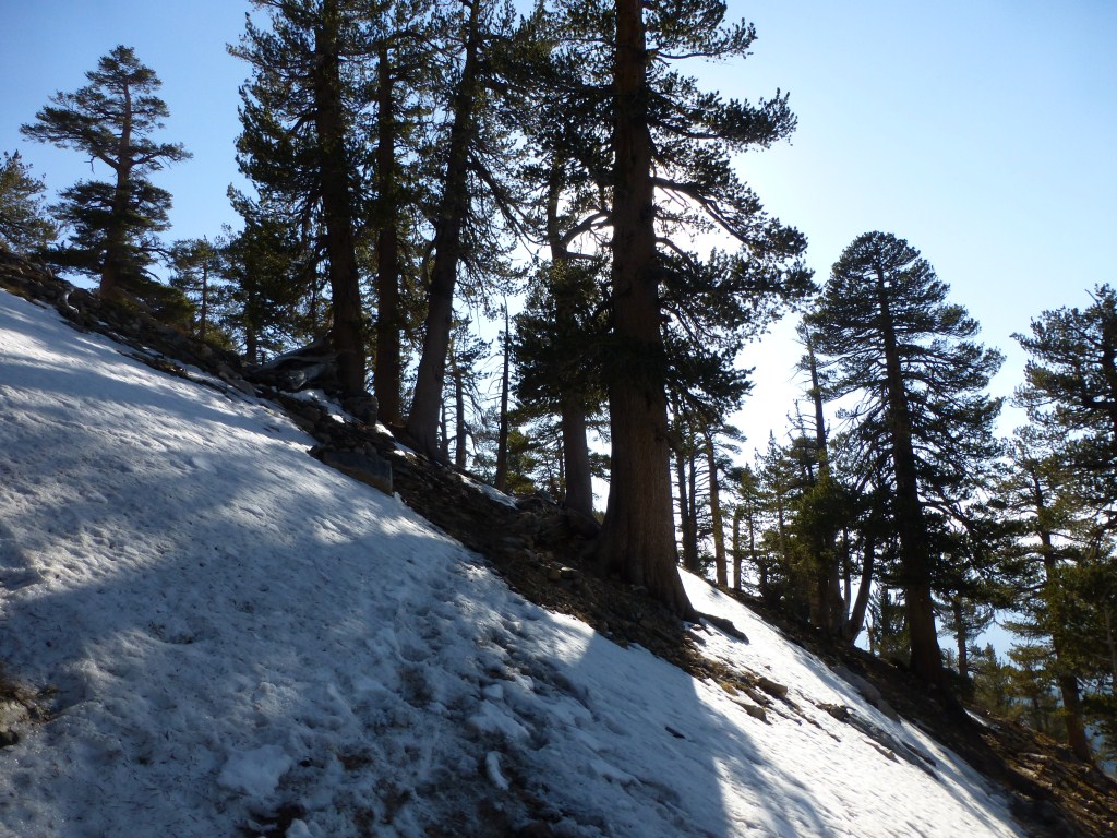
As we made it up the Pacific Crest Trail between Windy Gap and Throop Peak Saturday morning, I became fixated on some similarities and differences between early morning and late afternoon light which reminded me of the figure ground studies I did back when I was in architectural school. Architectural figure-ground studies involve drawing two versions of the same thing. In one version, the solid objects (e.g. walls) are drawn in color (usually black ink) leaving the spaces white. The other version is the reverse. The idea is to study how the difference between the two drawings of the same thing affects how it is perceived and to assist in seeing the importance of both solid and void.

Shade and sun, a form of figure-ground relationship. The experiential difference for me is mostly impacted by temperature.
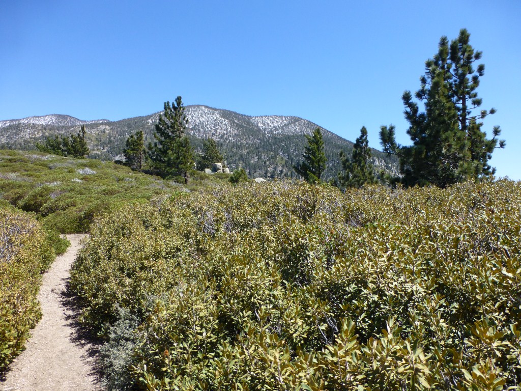
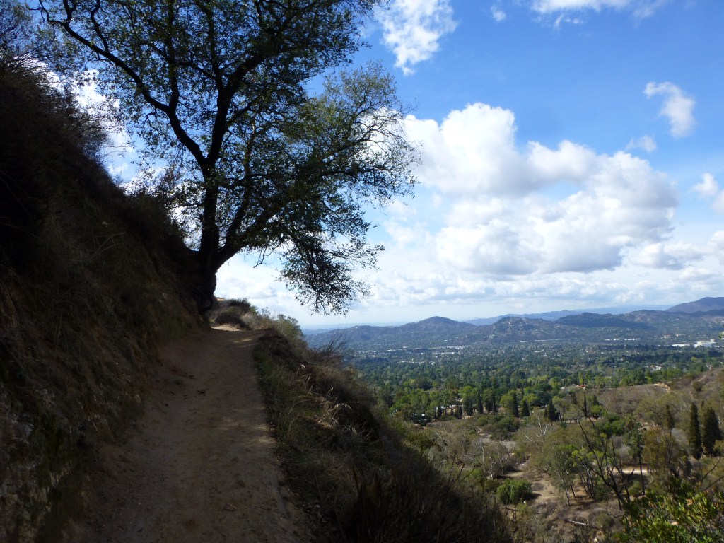
I’ve hiked this portion of trail numerous times in different conditions ranging from a fairly hot summer’s day with smog obstructed late afternoon views to hiking in snow on a on a chilly winter’s day with clear views to the ocean.

Pacific Crest Trail between Windy Gap and Mt. Hawkins in November 2011.
However, I’ve never been on this portion of trail anywhere near an early morning time. So, the figure-ground like perceptual shift of sun, wind, and shade between early morning and late afternoon jumped out at me. Although the angle of the sun is the same (though coming from different directions), the meaning of the temperature change between sun and shade and the impact of the wind is fundamentally different for me. This difference revolves around whether it’s more comfortable for me to be in the sun or the shade and if a little wind makes things better or worse.

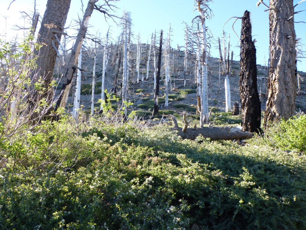
Snags from the 2002 Curve Fire leave the landscape open and exposed and require a low angle from morning or afternoon light to provide shade. I find ascending the mountain in these conditions more enjoyable in the cool morning air.
Unlike the heat generated by the afternoon sun that I prefer getting out of, the warmth of the morning sun is typically such a welcome change in temperature for me that I want to be in it. A breeze serves to heighten these preferences. As a result, in the morning I find myself more focused on stopping and taking in views while in the sun hopefully with no wind whereas in the afternoon I prefer hanging out in the shade hopefully with a breeze. This makes the lighting significantly different and changes what I focus on.
In the morning I enjoy warming up in the sun and looking at how the morning light highlights the landscape. Long shadows being reminders of recent darkness and cold.
In both cases the long shadows make the ground more interesting for me and delineate areas to move through or stay in depending on the time of day. This range of experience which changes my perception of the terrain and requires a very early start to experience is a key reason I love backpacking.

Being in the warmth of the early morning sun on an exposed portion of the trail makes viewing the long shadow of the mountain and the contrast between light and shadow more pleasurable to take in for me.
We made it to Throop Peak before returning to Little Jimmy to gather our things and head home. The thought of morning light has me looking forward to my next overnight trip.