
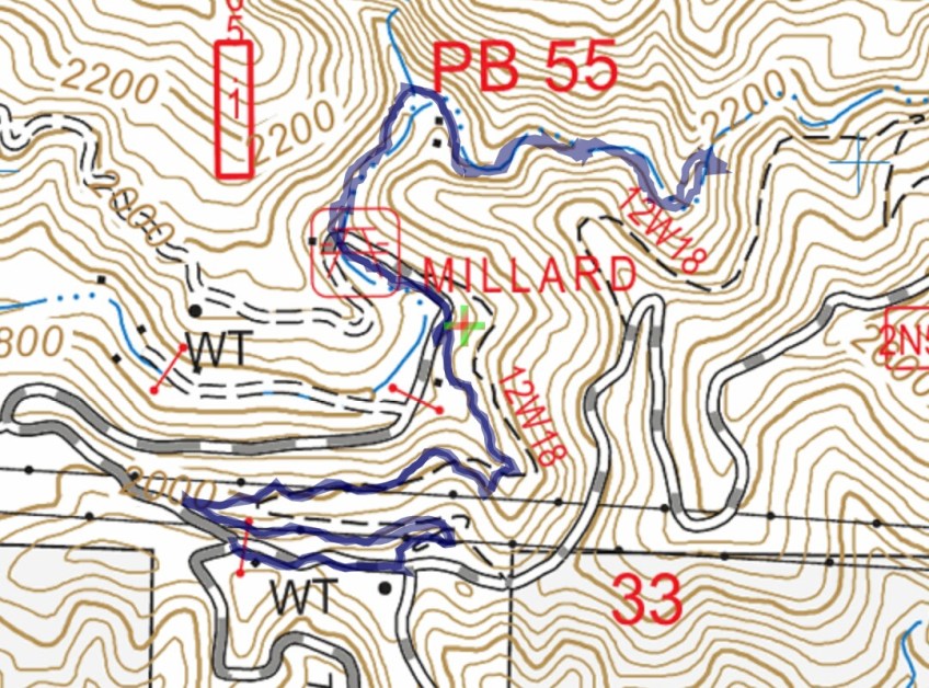
Track map for Lower Sunset Ridge to Millard Falls on 1-13-2017 using Backcountry Navigator (US Forest Service-2013 map) from my phone.
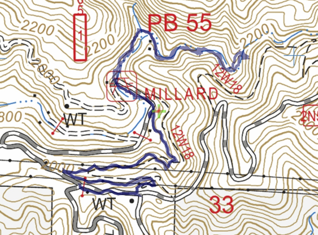
Track map for Lower Sunset Ridge to Millard Falls on 1-13-2017 using Backcountry Navigator (US Forest Service-2013 map) from my phone.
