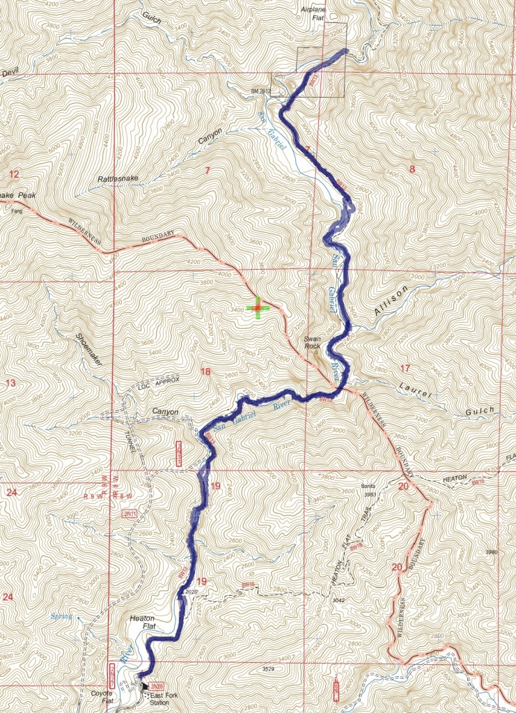
Track map for East Fork to Bridge to Nowhere from January 2015 using Backcountry Navigator (US Forest Service-2013 map) from my phone.
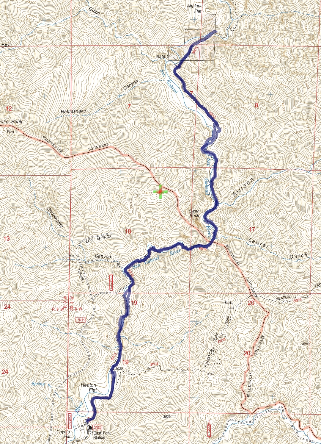
Track map for East Fork to Bridge to Nowhere from January 2015 using Backcountry Navigator (US Forest Service-2013 map) from my phone.
