
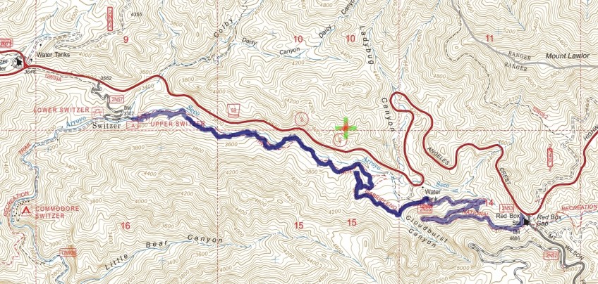
Track map for 2016 Hike #64 Red Box to the Upper Switzer Picnic Area. Backcountry Navigator (US Forest Service-2013 map) from my phone.
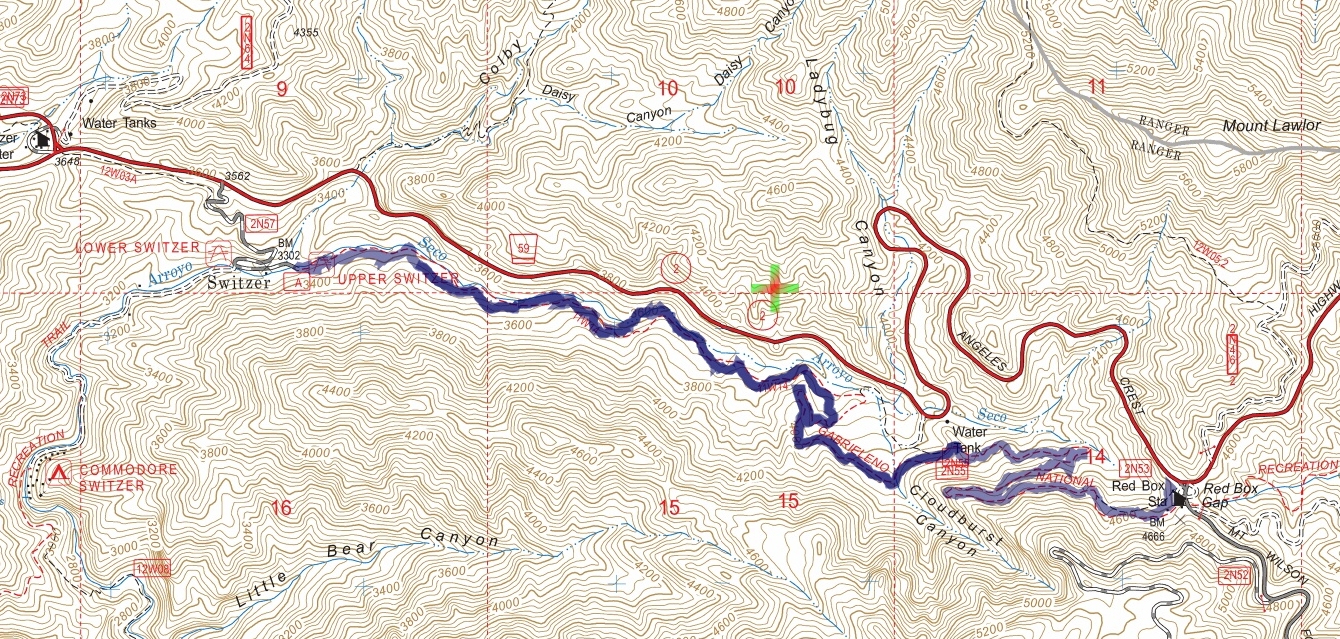
Track map for 2016 Hike #64 Red Box to the Upper Switzer Picnic Area. Backcountry Navigator (US Forest Service-2013 map) from my phone.
